Three Ridges Hike, Day One: Reid’s Gap to Harper’s Creek Shelter
A drive of nearly an hour and half got us to the the trail head at Reid’s Gap, which we found as expected to be already well populated with cars. It seemed overflowing already on this Friday morning; only when we returned would we see what it REALLY looked like when completely full.
It all begins — and ends — at Reid’s Gap.
The weather, as expected, was overcast. But no rain was in the offing yet. A ranger further down the parkway had told us that he expected few tent campers in any of the campsites over the weekend because inclement weather was a 90% certainty. But some of the most recent weather reports had been more favorable; it now seemed possible that rain might even hold off long enough for us to reach the first of the main viewpoints of our planned route, which we would not hit until sometime mid-morning of the following day.
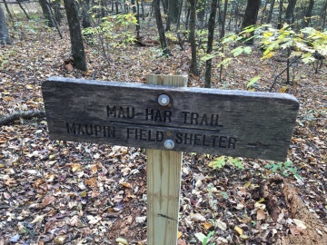
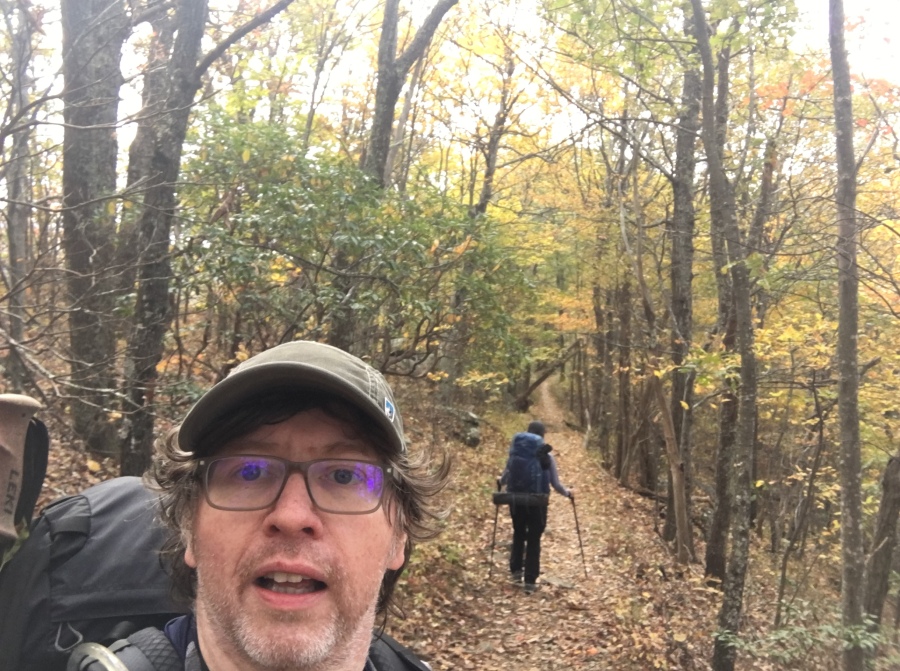
Today we would be following the AT South to Maupin Field Shelter, where we would pick up the infamous Mau-Har Trail, which would take us back to the AT and to Harper’s Creek Shelter. Harper’s Creek is about 6.2 Miles from Maupin Field along the AT, but the Mau-Har Trail takes a shorter route. Shorter, but not easier.
As we geared up we heard a yapping coming from somewhere down the line of parked cars. Investigation revealed that someone had locked a small dog in one of the cars and left it there to go for a hike. Sylvia was incredulous and wanted to give this dog-abandoning so and so a piece of her mind, but we were behind schedule already and had to get on the trail.
After less than a mile we saw a couple obviously not outfitted for overnight hiking who were returning to the parking area with a dog. We suspected these to be the dog abandonment party, though why they had chosen to hike with one dog and not the other remains unclear. At any rate, we never saw the people or dogs again. The car and its K9 sentinel was gone by the time we returned.
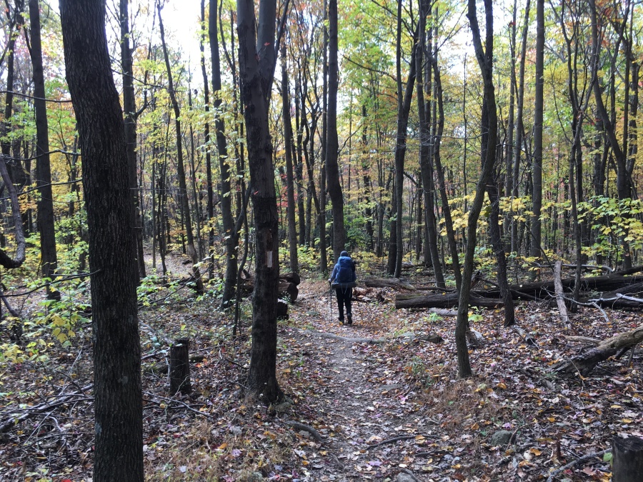
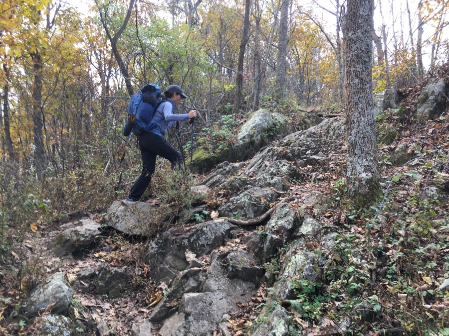
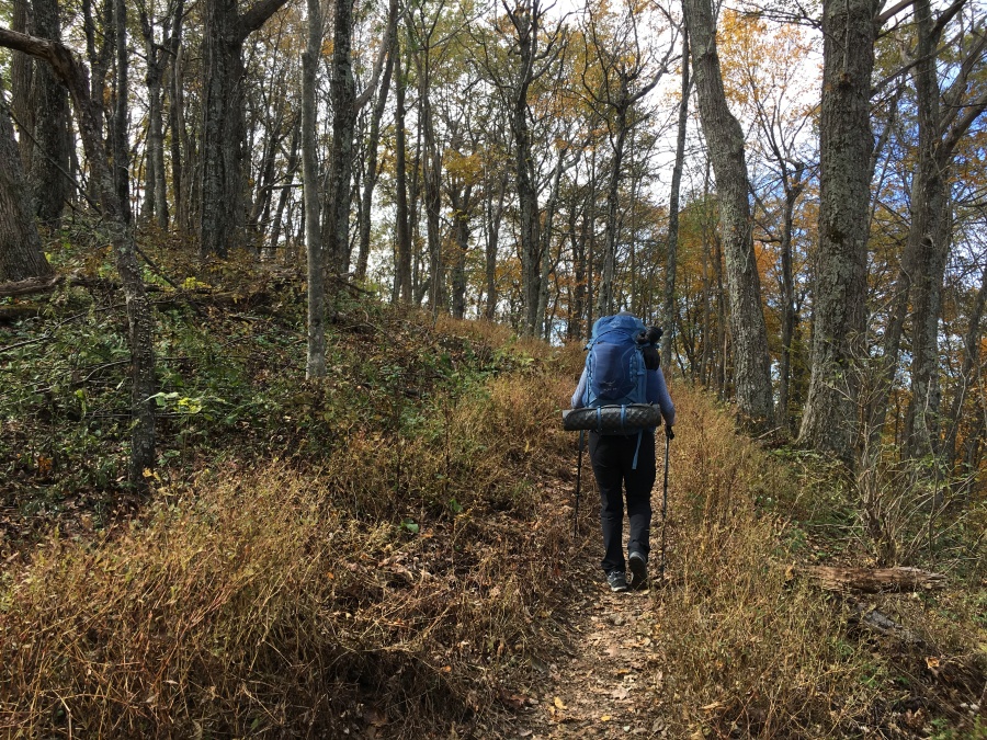
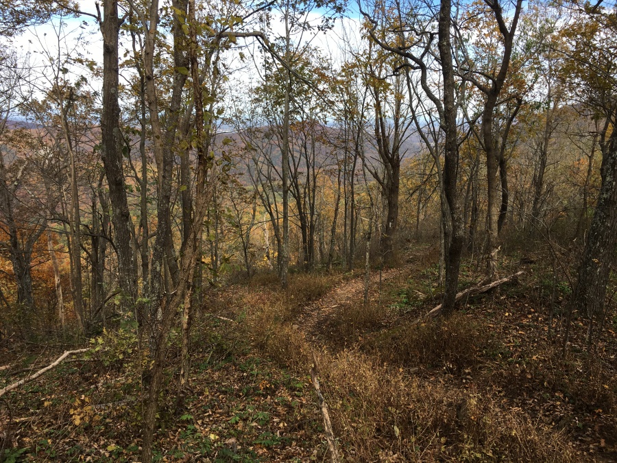
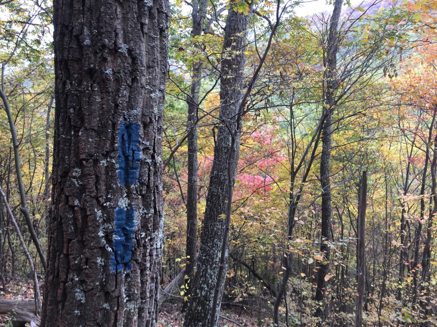
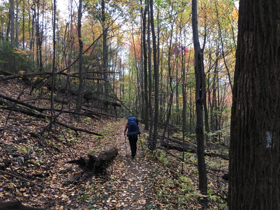
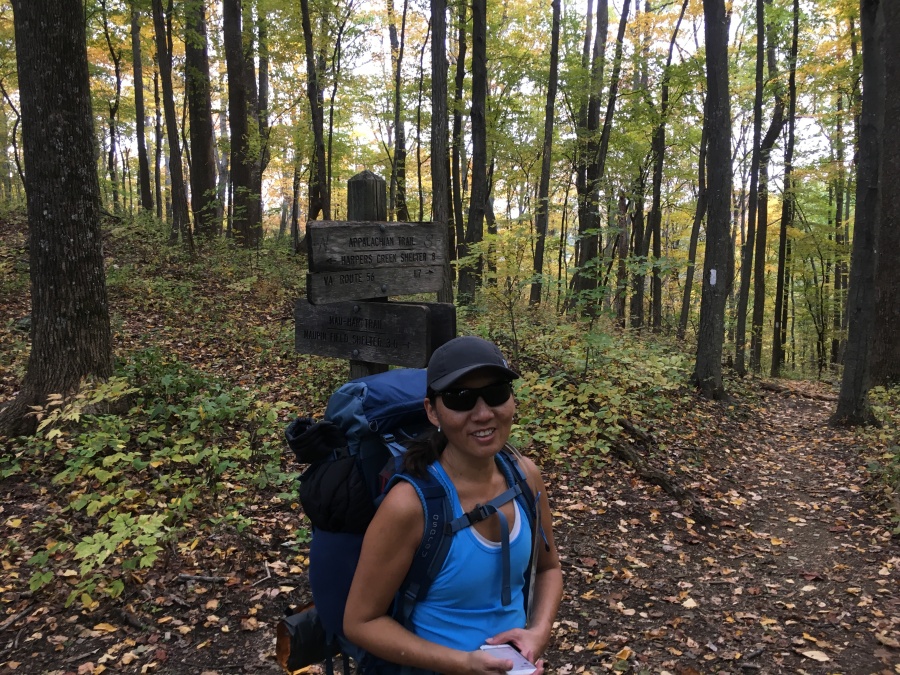
There was some initial confusion about which way to go — the AT crossing is clearly marked but NOT with any indication which way is northbound or south; but we knew we had to go south, and a compass check soon had us correctly pointed correctly. The first section of the AT rises gently over Bee Mountain and then descends to a low wooded col where we found the Maupin Field shelter (occupied sparsely at the time) and the junction with the Mau-Har Trail. This section of trail seems easy on the outbound leg, but on the way back would seem much steeper and more tiresome to our exhausted legs.
We had read several trip reports from hikers bemoaning the near impossibility of finding water on the AT section of the loop. At Maupin, this concern appeared to be justified; the creek behind the shelter was little more than a bone dry gully flowing only with rocks. Ahead of us we knew there was water; but would there be any at our day’s destination, Harper’s Creek back on the dry AT?
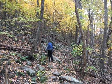
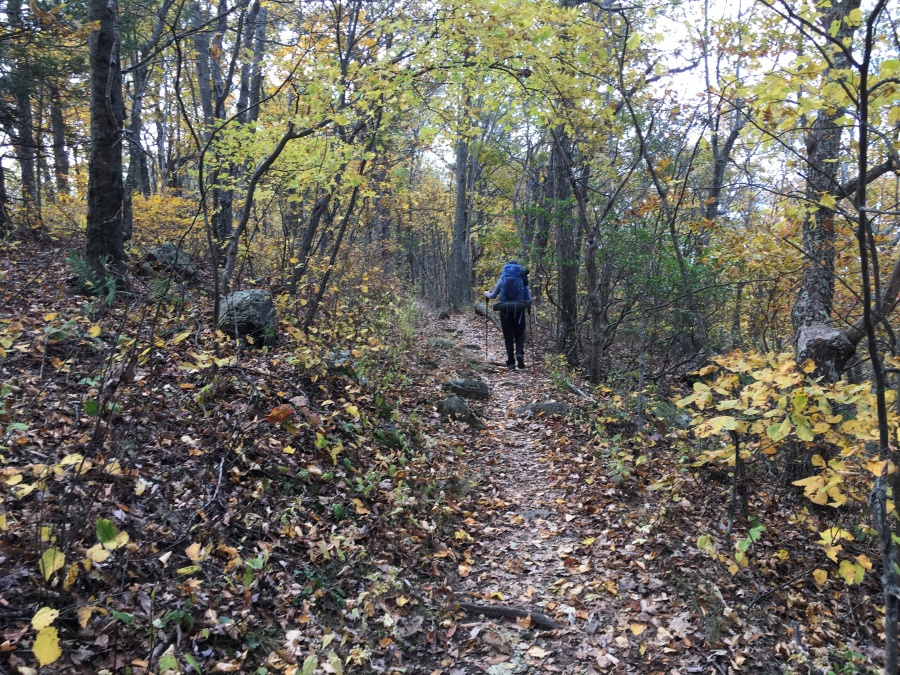
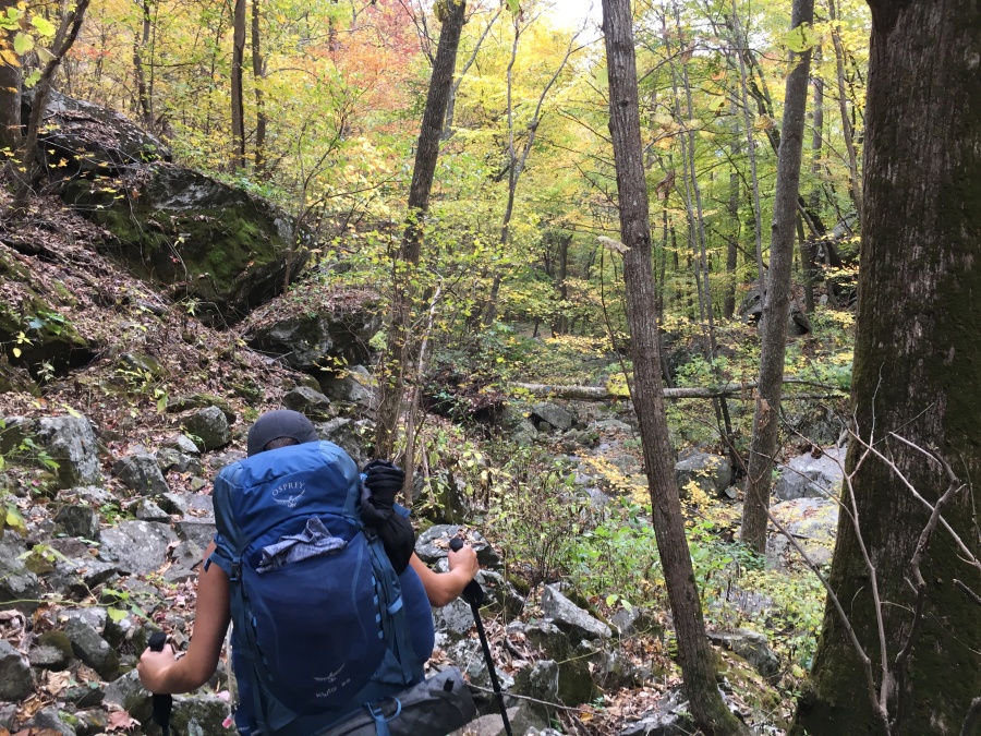
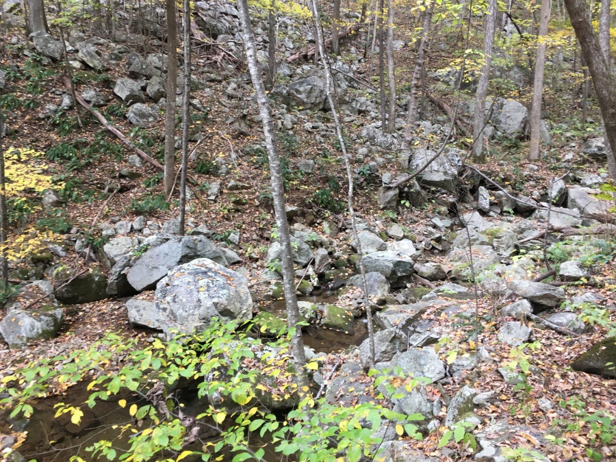
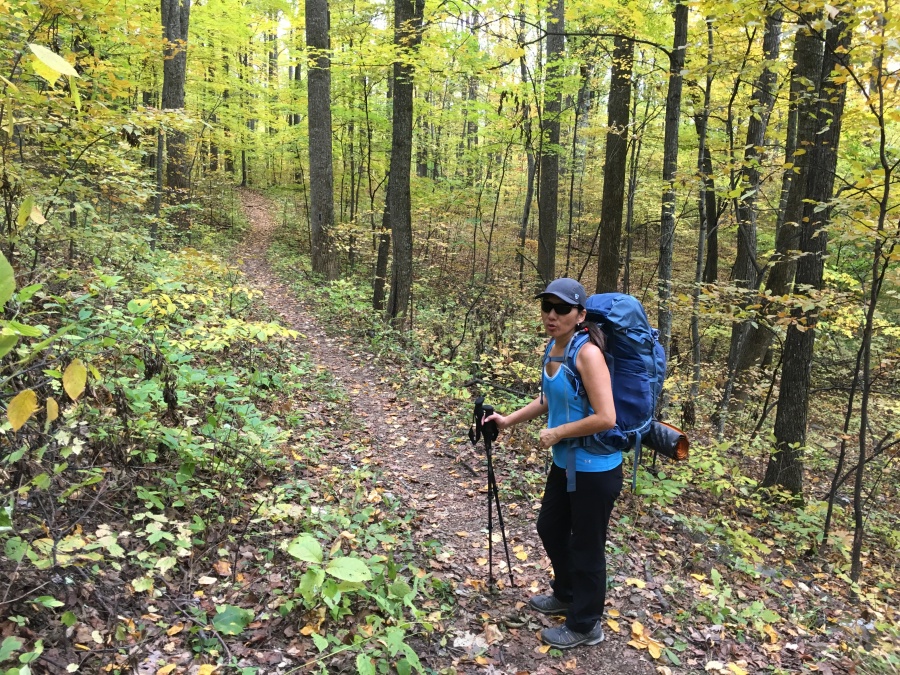
The Mau-Har descended sharply after leaving the shelter and meets Campbell Creek, which it follows down through a wooded Ravine for a good ways. Here its true wild character merges. This section of trail did not stay level for more than thirty yards; almost continual up and down, often over rocks and ledges covered with new fallen leaves. Luckily the trail was dry and the creek, while flowing at a diminished capacity, quite beautiful.
There are in fact some impressive cascades and falls on this trail. But we got the sense that, being only at half capacity this late in a dry season, these were less impressive than might otherwise have been.
The trail descended at might have been termed a modest grade if it wasn’t for all the continual veering up and down, eventually reaching a wide flat area which gets obvious regular use as a camping area. Here, the Mau-Har trail turns upward, leaves the creek behind, and proceeds to get really gnarly.
Here, Brian considered the dry Maupin Shelter and seriously debated watering up, as we seemed to have poor prospects of finding any on the AT. It was possible that this might be the last opportunity for water on the trip.
A discussion ensued, and Brian ended up being talked out of watering up, reasoning that it was too early in the hike to do so, especially with a big climb looming directly ahead. He had also read that water was available at Harper’s Creek, though one had to walk some distance downstream to fetch it. The advantages of waiting to fetch water until after the tough climb that we knew lay ahead seemed to outweigh the risks; and so we continued on.
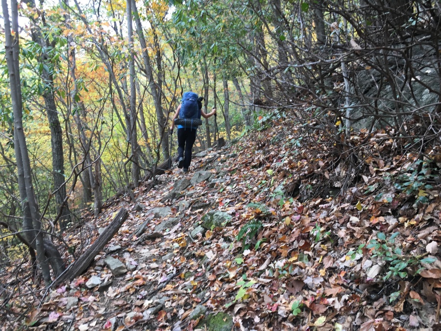
Immediately we encountered the section of trail that gives it its dreaded reputation; a very steeply eroded series of pitches, some of which were little more than crumbling dirt shoulders, one of which so bad Sylvia almost fell on it going uphill. A man we met coming down — the last hiker we would see that day, and maybe only the third or fourth on the Mau-Har in its entirely — joked that he almost needed climbing rope.
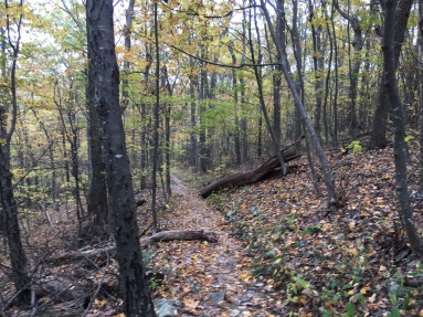
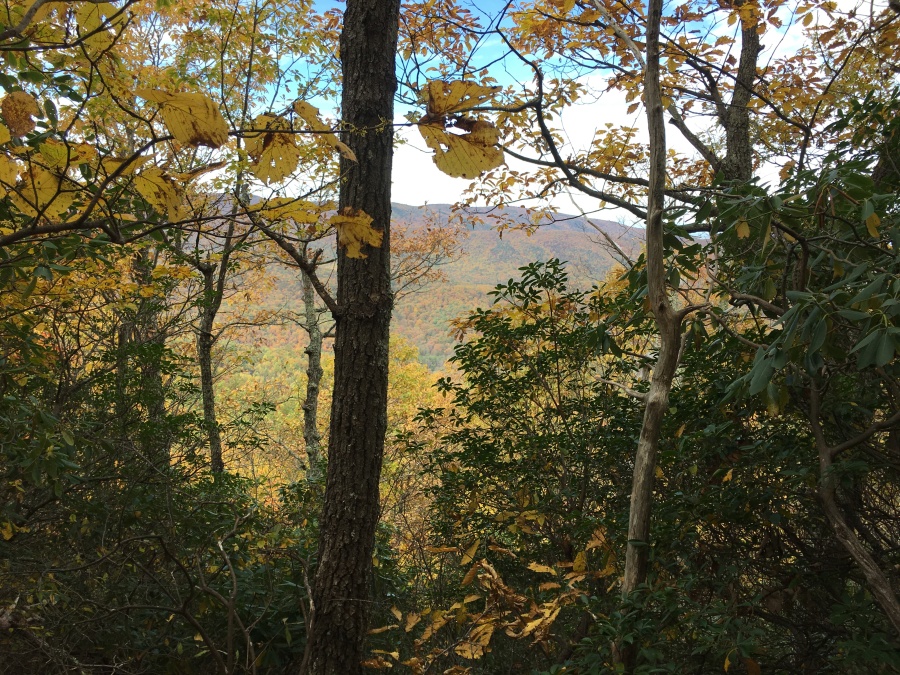
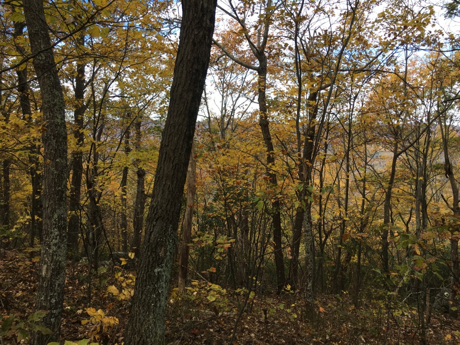
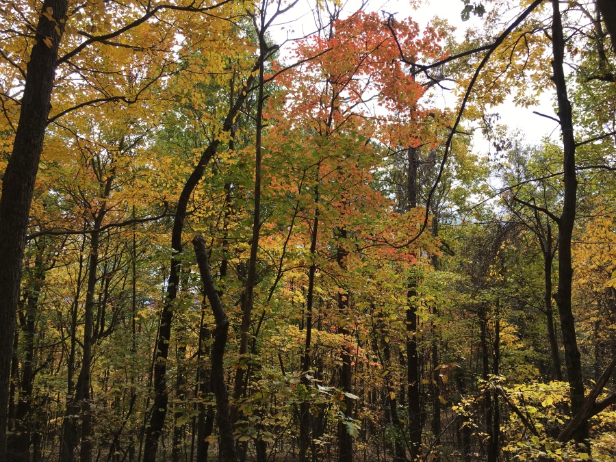
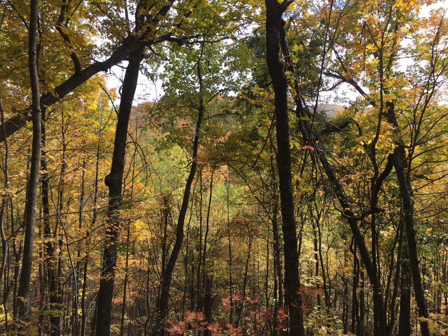
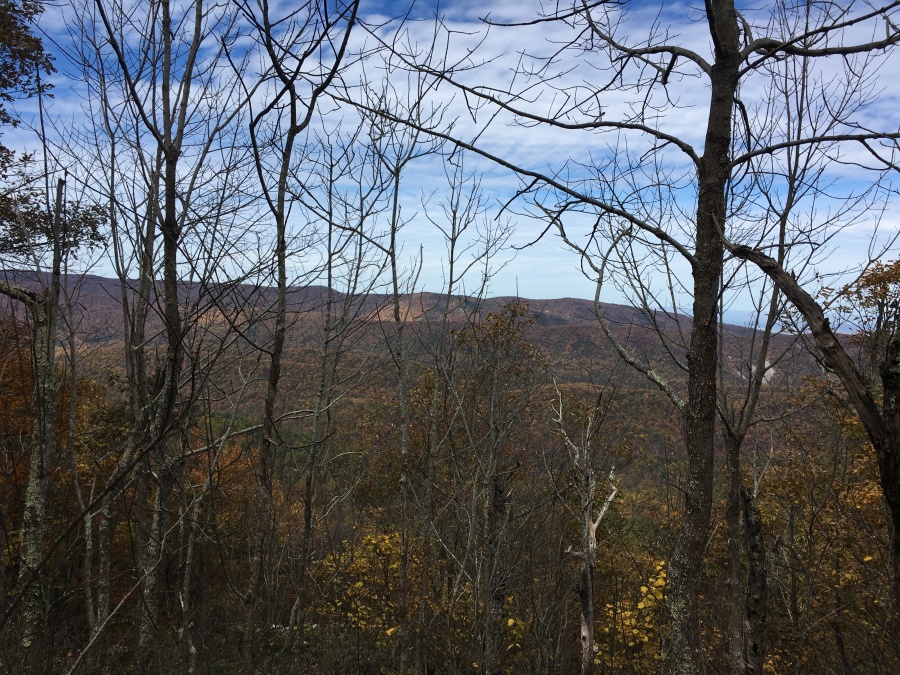
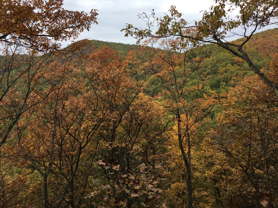
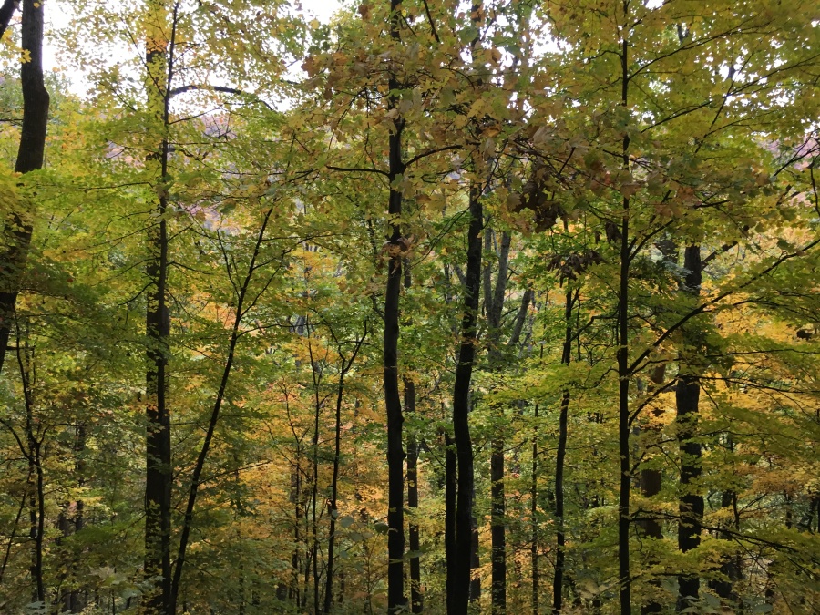
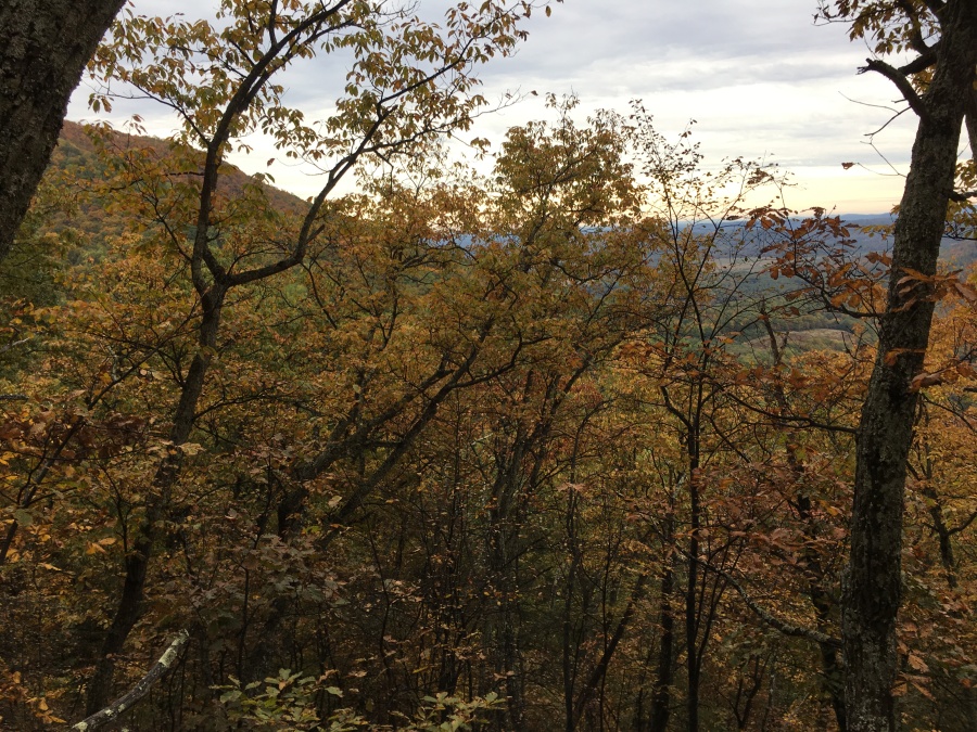
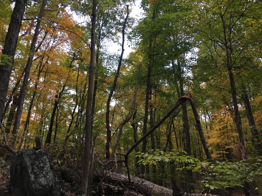
Fortunately this section is fairly short, maybe 200 yards at most; above this it gets a little easier, flattens even, and some partial views appear through which we could glimpse the splendid costume of fall foliage adoring adjacent ridges. This is really a very beautiful circuit of trails, despite how tough it is.
But no section of this whole hike, stays easy for long; soon the Mau-Har turns upward again attacking another slope with considerable aggression, though with less awful footing. Topping this ridge, the trail swings round and begins descended through a gorgeous patch of forest, the main arm of the Three Ridges Mountain visible through the trees looming above.
This fine looking view also proved to be somewhat dismaying to us, because we had figured the Mau-Har would deposit us on a high col on that ridge where the shelter might be found. Instead, it was clearly descending into a narrow valley cut by Harper’s Creek. Brian realized that we would likely start the second day with a sharp climb, and began to wonder if his water calculations would prove inaccurate.
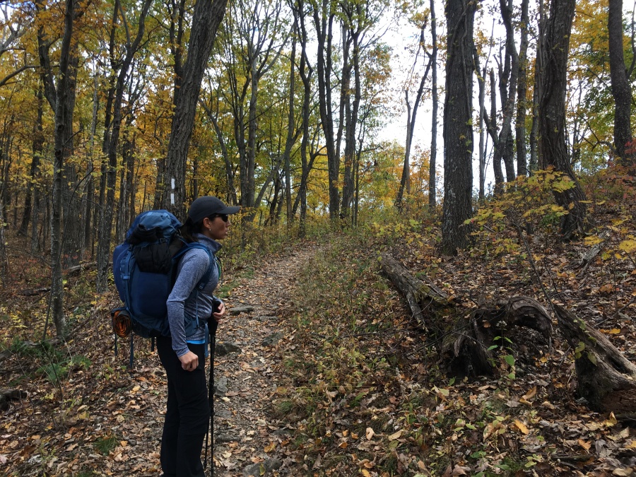
But the Mau-Har Trail soon ran its course, and we at last found ourselves topping a slight rise to see a junction in the distance. We had returned to the AT, 6.2 miles further along its meandering route. From there the AT continues South, or right, to a crossing of VA 56 and the other entry to this loop. The opposite direction reaches to Harper’s Creek Shelter in a mere three quarter’s of a mile. We did not absolutely need to go there to find campsites; there were actually plenty right at the intersection. But there was no water there, and Brian for one was still somewhat anxious about this fact. And so, left and north we went.
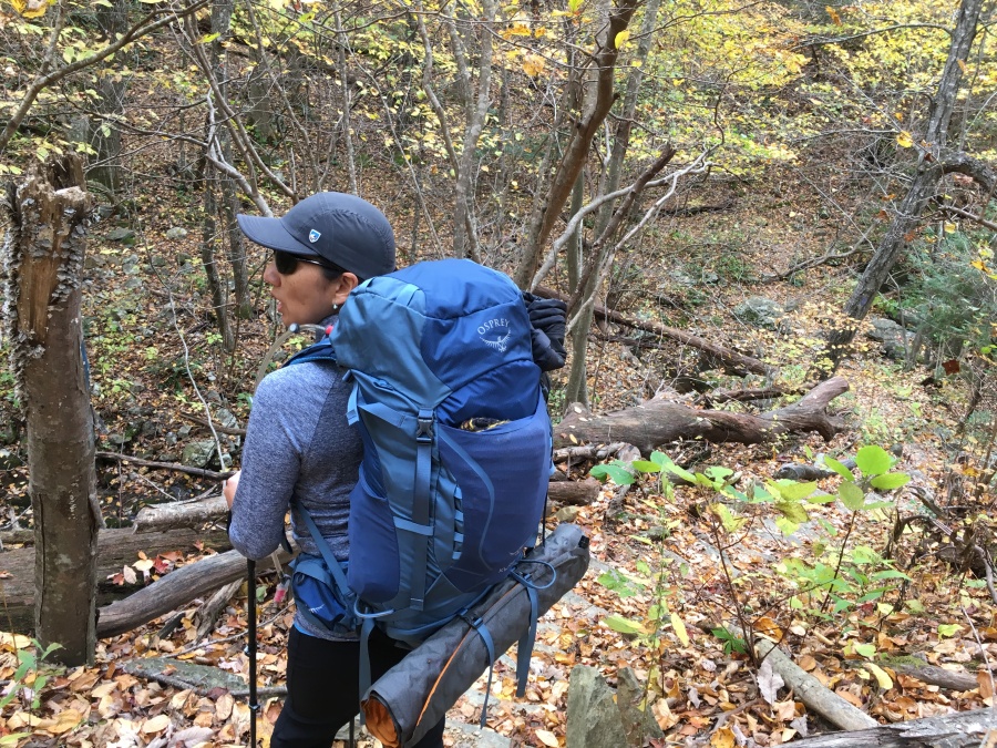
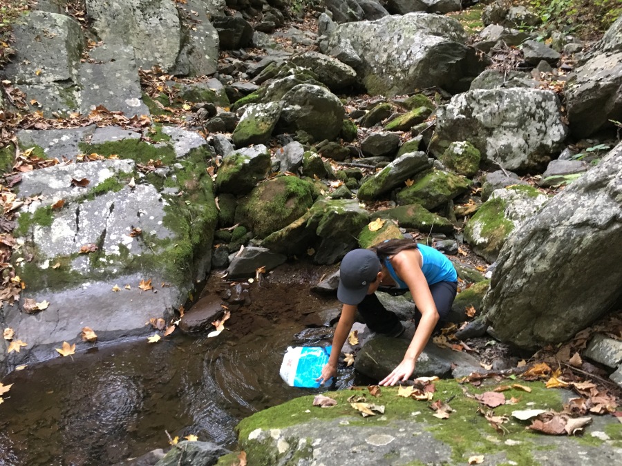
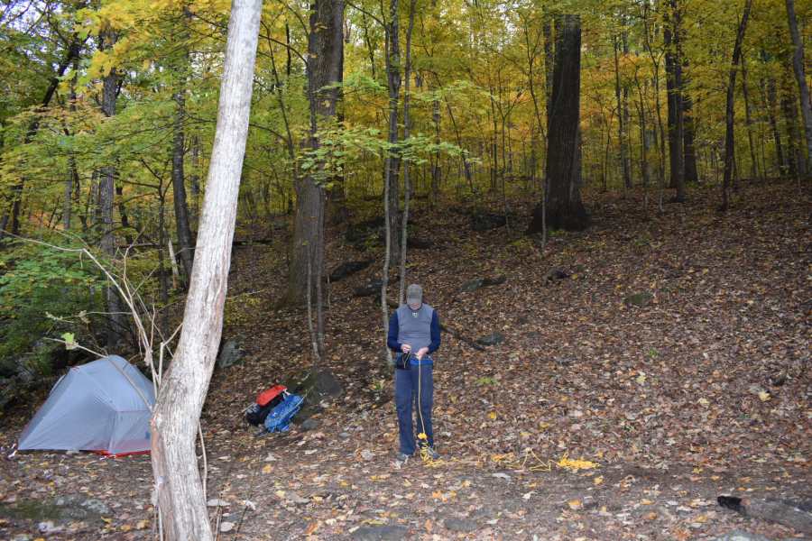
It was not long before we began to smell smoke, and then crossed a very wide stream which could only be Harper’s Creek. Immediately Brian spotted water trickling down in the stream bed and let out a sigh of relief; we immediately stopped to fill up. Again we had with us our low-budget gravity assisted Sawyer hydration system, in whose efficacy Brian for one is convinced. But we did not even necessarily need to filter any of this water, since we had the JetBoil with us. We could easily boil what we needed for cooking and cleaning, then let the rest cool overnight.
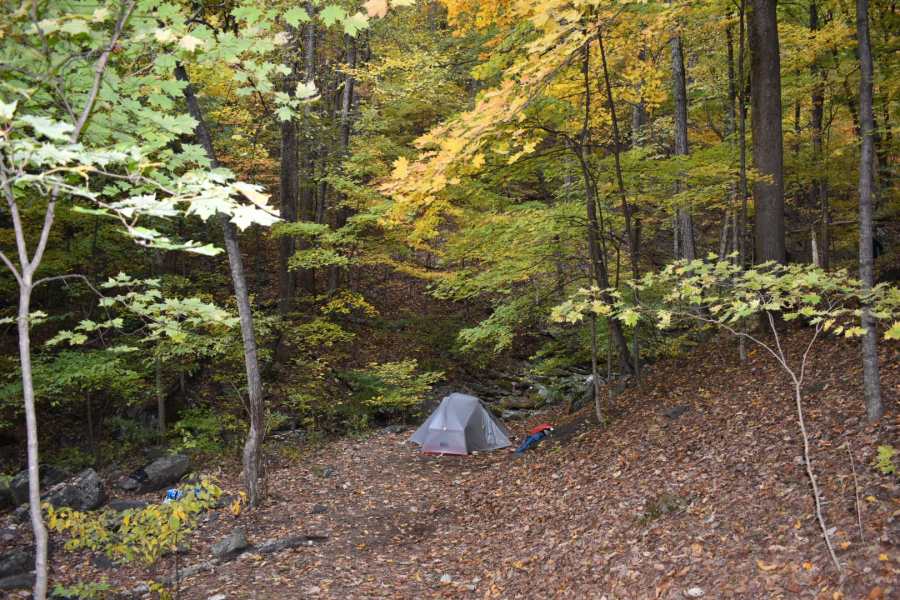
After crossing the stream and ascending the opposite bank we arrived at the sprawling complex of campsites that lies between the creek crossing and the Shelter; there are dozens of sites here. We chose to walk a little past the Shelter to the last viable site right beside the creek. We had complete privacy; perhaps a half dozen people were already in residence in the vicinity, some busily setting up tents and other already setting up and playing cards.
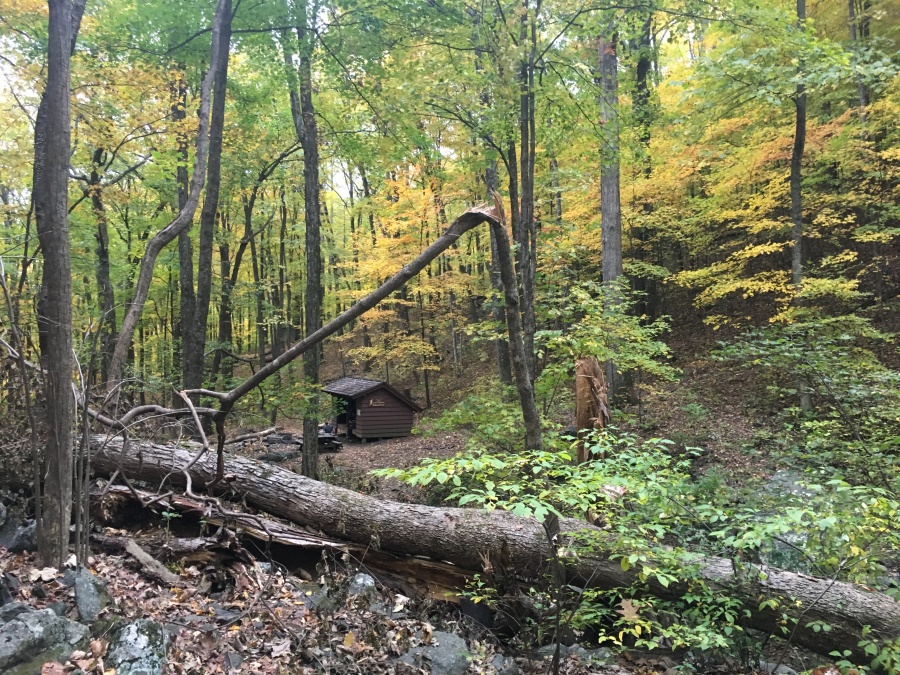
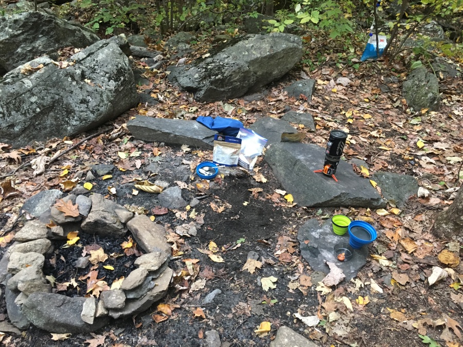
Unlike Maupin Field, the Harper’s Creek Shelter, which is quite small, has no contraption we could see for hanging food safely. So we pitched camp and quickly hung our bear bag. (Brian has decided this is the last makeshift bear bag he will hang; he is either getting a bear vault or Ursack.) Once set up there remained only one last piece of business which was dinner; so we set up the JetBoil on a convenient flat rock and set to it.
As it turned out, there was running water in the creek just twenty feet from our campsite. Our fear of a dry camp was entirely unfounded. But certainly not unwarranted. Upon checking Brian found that our water was much lower than he had figured. If we had failed to find water in camp, forget cooking; we would probably not have had enough for the next day’s hard climb, which would have been a serious situation.
Everything else went without a hitch that night. Well, almost; Brian’s Thermarest has a tiny puncture somewhere and keeps deflating. The Hydration system had a crimped hose necessitating that we trim of a short section with Brian’s Leatherman in order to make it work. Sylvia nearly fell over trying to haul a squatting Brian, whose knees had chosen not to respond after a hard day’s hiking, to his feet. And our Mountain House Lasagna did not constitute as well as we had hoped, making somewhat of a mess, in fact.
But apart from that almost all had gone well. We had survived the dreaded Mau-Har Trail, coming up it rather than down, just as one might sneak up a back stair. We were entirely well fed and had plenty of water.
Tomorrow, though, we had yet another climb ahead of us. And then there was the question of the weather…would it hold until we reached the viewpoints, or would we awaken to clouds and rain? All would soon be revealed.
Up Next: One, Two…Three Ridges!