The Three Ridges Loop Via the AT, One Of Virginia’s Best Hikes
With Patagonia fast approaching, we are faced with the dilemma of how best to prepare for the challenges in the little time that we have, especially with all the other commitments we have at the moment. We expect the hiking on Torres Del Paine’s ‘W’ to be mostly moderate in nature as compared to, say, the Tour du Mont Blanc. But still, we will have to eat up a good chunk of miles for five straight days with relatively heavy packs. The trails in Glaciers National Park (Fitz Roy) may be somewhat harder, though we at least have the option of doing these with lighter packs.
There is also the fact that virtually everywhere we go, we will be lugging big packs around with us…on every plane, airport, bus station and taxi. Excepting the days stating out of El Chalten, everything we have with us must go with us everywhere we go.
And to top it off is the weather conditions of Patagonia, which we expect to be brutal. We expect rain and high winds, with cold temperatures and even snow possible. Our gear will have to withstand the strongest tests its every withstood. If something is in need of improvement, or about to fail, we need to know that now.
All of which boils down to this…to get our bodies and equipment ready, we need more than a shakeout hike, and we need it now.
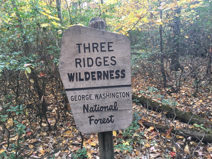
For this, we need mountains. Fortunately we have them — a range that in fact does a passable impersonation, in terms of altitude, roughness and conditions, of the Patagonian Andes we will be hiking in. And that’s our own Southern Appalachian Mountains.
The only question was which trail to hike…because we needed a major one.
A year or so ago Brian recalled that Outside Magazine Online had published a list of the top trails in each state in the union – all fifty of them. Unlike much of the dreck that OO puts out this was actually a pretty good list, but a few of the choices did seem puzzling. One that stood out was the Three Ridges Hike, named by the magazine as the best in Virginia.
Having hiked extensively in that state, the choice took us by surprise. Better than Old Rag? Better than the Grayson Highlands? It seemed a stretch that this hike, which I barely heard of, could possibly overtop these more famed options. (We considered Old Rag to be the best hike in all of the Southern Appalachians, in fact.)
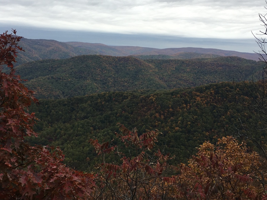
However the more we researched the hike, the better it looked. It was challenging, had many great views and a lot of interesting terrain. And being both relatively short (14 miles or less, entirely doable as an overnighter) and fairly close to home (3 hours and 28 minutes by Google Maps) it seemed like this might be exactly what we were looking for.
There are few developed campground in the area (the closest is probably Sherando Lake, which we are unfamiliar with) and so we decided to stage out of the Peaks of Otter, some eighty minutes to the South. This was save us having to stay at a hotel in the Charlottesville area.
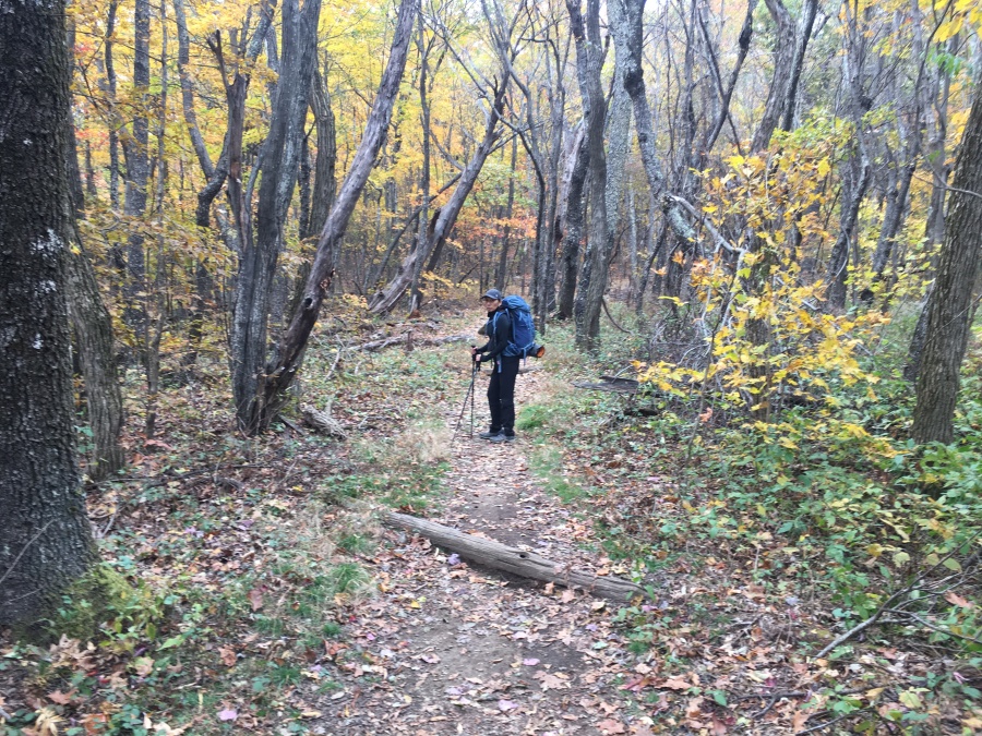
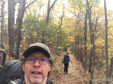
We set out the last weekend of October. We figured to be past peak as far as fall colors went in this part of Virginia, but as we reached our destination realized this was far from the case…in fact, it appeared we had hit the peak fall colors square on.
It boded well for a great trip…the only factor being the weather. The forecast for the first day of the two day hike was cloudy…the second, rainy.
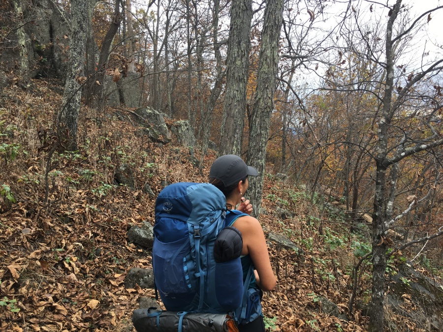
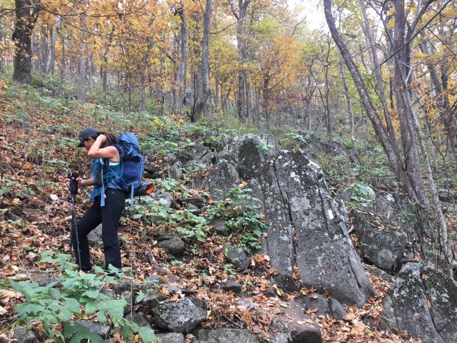
The Three Ridges Hike is a loop comprised of the Appalachian Trail and a side trail called the Mau-Har Trail. The main corridor, including the entry/exit point and almost all the views, is on the AT. The Mau-Har cuts across the ridges, making a shorter, though rougher, arc from one point on the AT to another further along. There are many campsites along the circuit, and two shelters. Both shelters are on the AT, but also near the intersections with the Mau-Har trail.
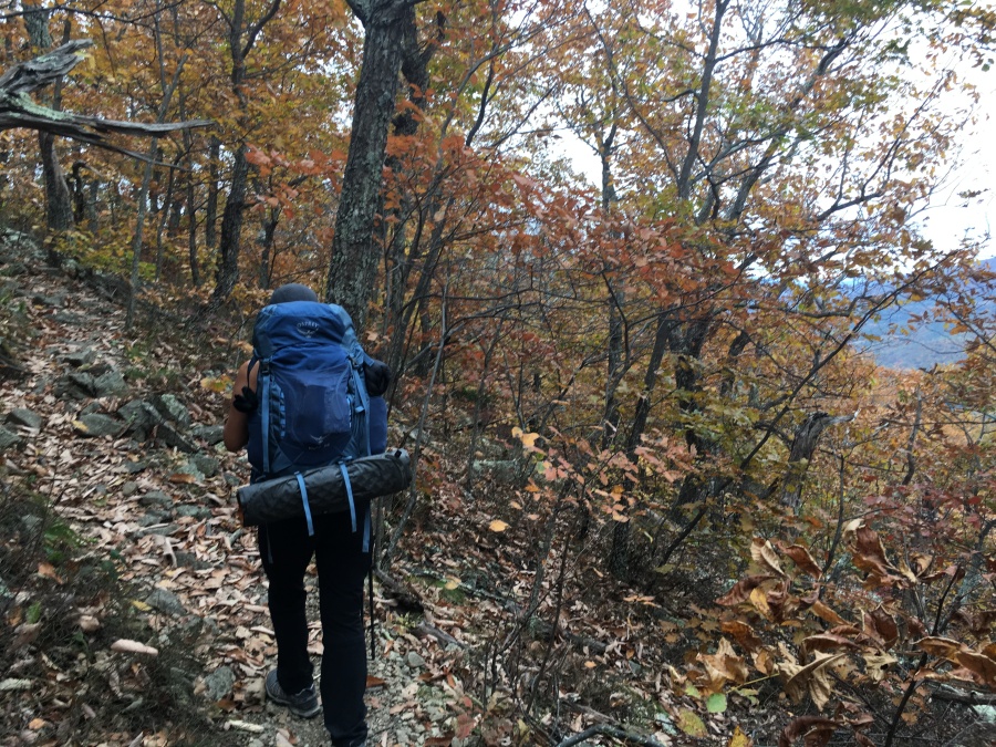
After some discussion, Brian and Sylvia decided to do this loop in the opposite direction (counter-clockwise) than most hikers typically do it. This was for two reasons, both having to do with the fact that the Mau-Har trail is universally considered to be rougher and steeper. First, we had need of a challenging uphill to get us into hiking shape. Second, we had NO need of a challenging downhill to make our old injuries and achy joints any worse. Our experience is that most hikers prefer to go down steep sections; we’re clearly the exceptions to this rule. Steep up hills don’t bother us much; steep downhills on the other hand do.
We had many questions going into the loop. Would our equipment hold? Would our bodies (which had not been challenged by a multi-day hike since last August in France) hold? Would the weather (rain was forecast on the day we figured to hit the best viewpoints) hold?
And would out plan hold? Much remained in doubt as we set out on the Three Ridges Hike, to the last, furthest ridge and back.
Next Up: The Back Stairs: The Mau-Hair Trail