Three Ridges Hike Day II: Harper’s Creek Shelter to Reid’s Gap (and out!)
**Note that none of these photos is doctored or enhanced in any way…this is exactly what we saw, just as we saw it.**
During the night we thought we detected the faintest fall of rain, seeming to dampen our wishes for a clear day to take in the best views of the Three Ridges Hike.
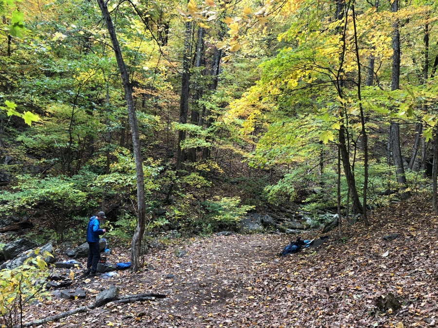
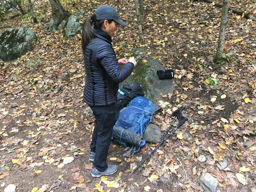
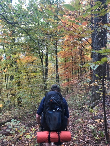
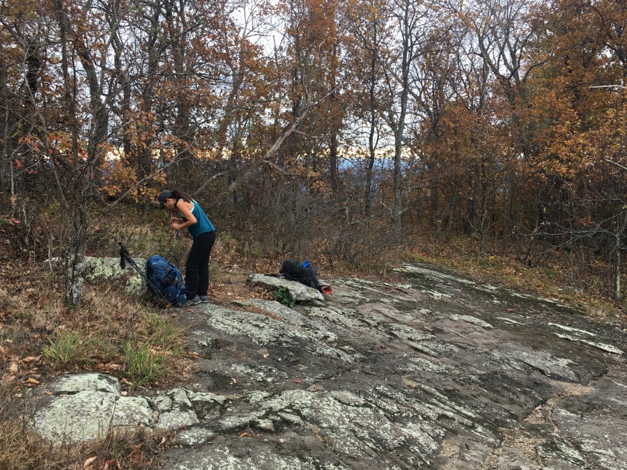
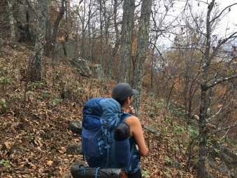
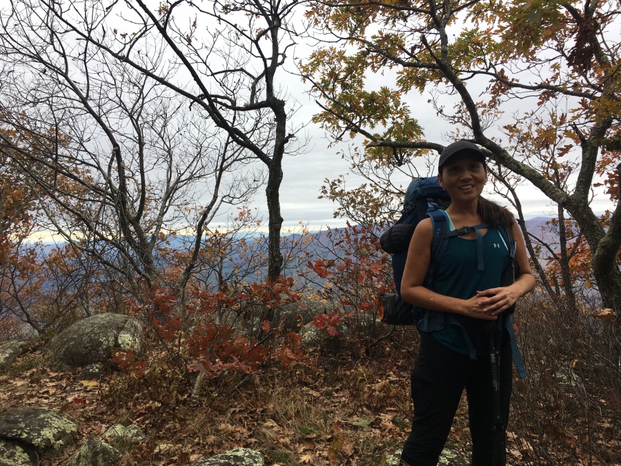
But when we emerged from out tent at first light, the ground was quite dry; either the rain we had thought we heard had been insignificant, or perhaps what we heard was just falling leaves. In any event, we made haste to cook breakfast, filter some much needed water and depart, knowing we had a serious uphill directly ahead to overcome.
For some odd reason the shelter was one of the few places on the entire loop where we were able to get a solid phone signal; this despite its being in a somewhat deep valley. We were able to use this access to pull down a weather report, and were encouraged by what we learned. The latest forecast for nearby Waynesboro, just 14 miles away, showed no rain until sunset.
Nonetheless this was the Appalachian Mountains, and here anything could happen. And soon it did. We had gone barely a few hundred yards down the trail when we noted a hand-written sign affixed to a log warning of ground bees ahead, directly on the trail. (We had read something of the sort in trail posts.) We hurried past this area mindful of any unidentified flying objects, but in the event saw none. The bees had gone for the year or were at least dormant. We passed unstung and in peace.
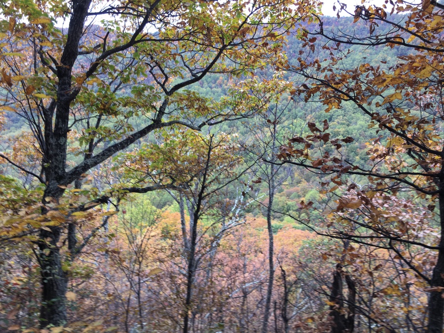
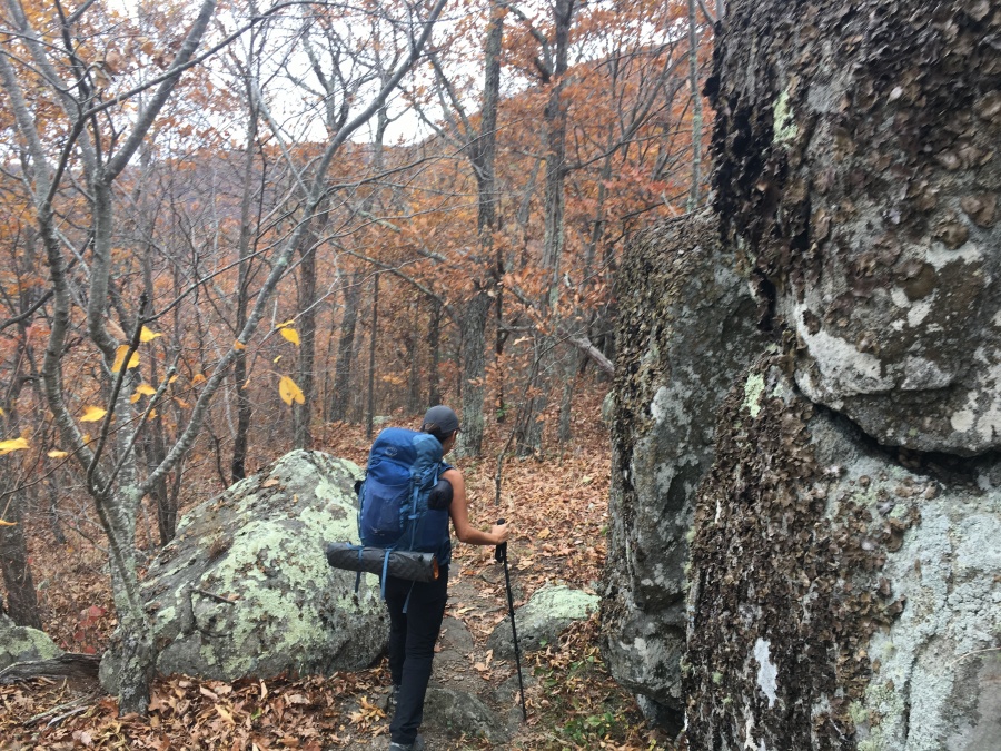
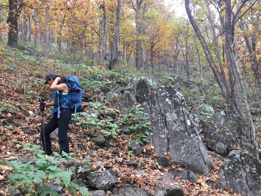
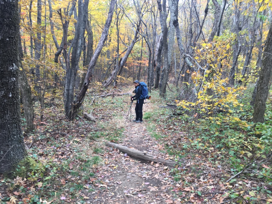
The AT climbs steadily for nearly three miles North of Harper’s Creek, before reaching the first of the three humps that gives this trail its name. The forest throughout is gorgeous, though the lowlands below – the same valley through which VA 56 runs – is populated and some noise does intrude. In particular someone down there appears to have a large kennel of hunting dogs and we were treated to continual barking for much of this section.
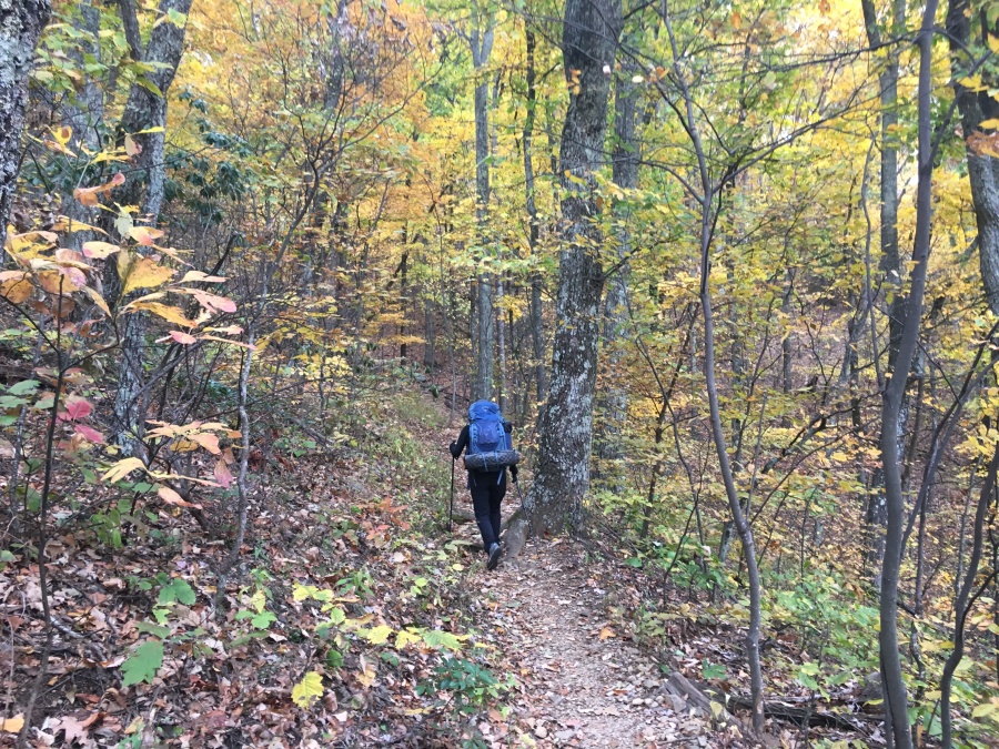
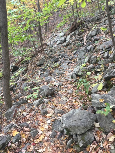
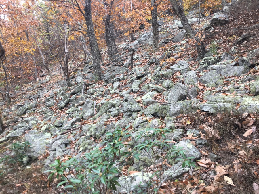
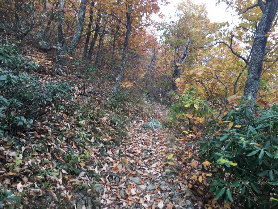
It is also here that the AT passes through several rocky minor slide zones. Footing here is somewhat treacherous on the uphill and would likely be more so on the down; we got through it all without incident but were forced to take it slow. It was but one reason why our pace on this trip, rest and scenic stops includes, was just a little over one mile an hour (on day hikes we often average better than two.)
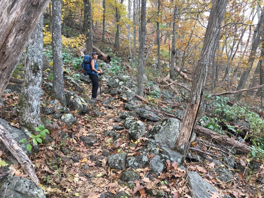
As the trail approaches the first and lowest hump, the first view partial viewpoints appear. There are side trails by which even more views could be reached if an intrepid hiker was of a mind to explore, and some of these also have campsites situated nearby.
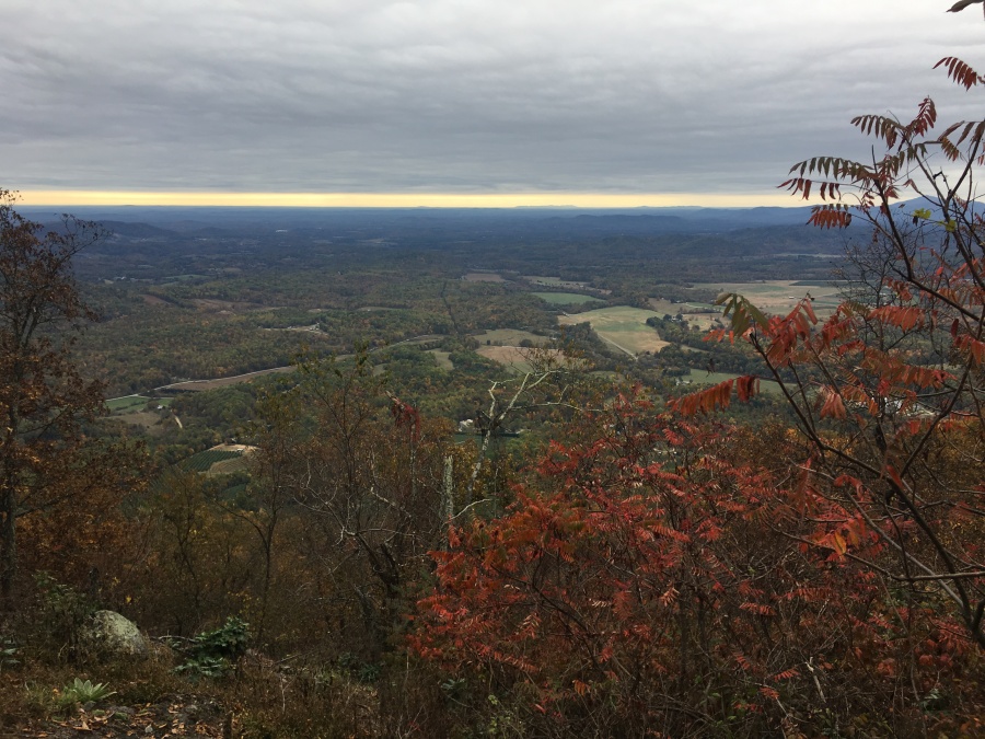
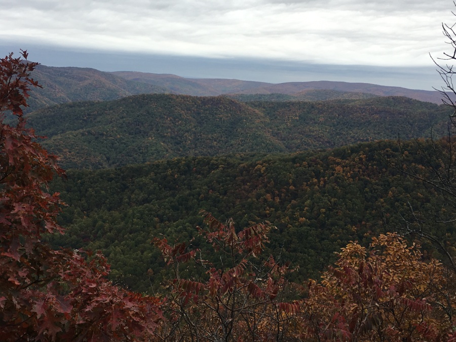
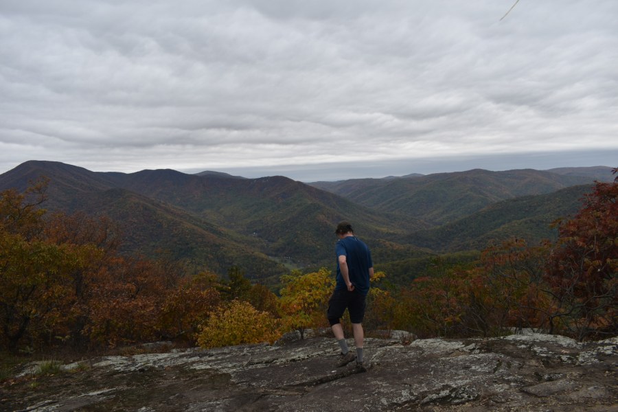
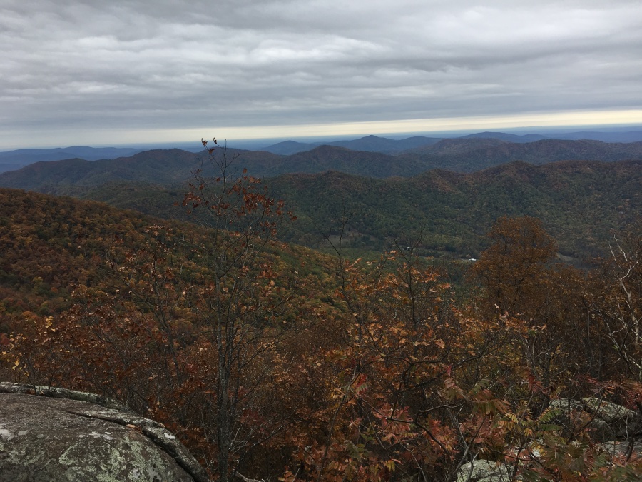
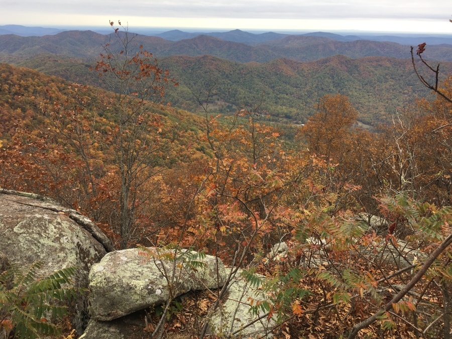
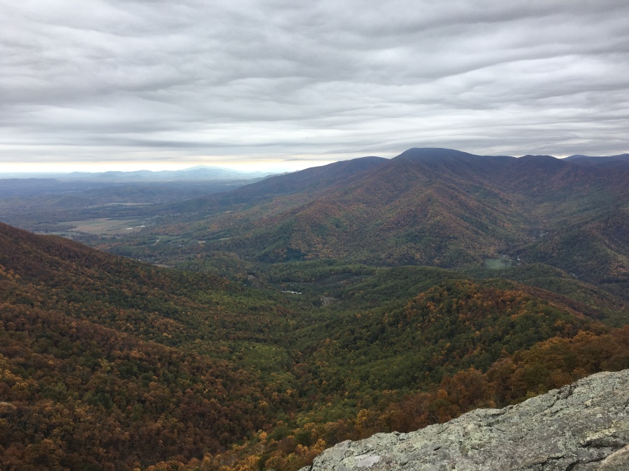
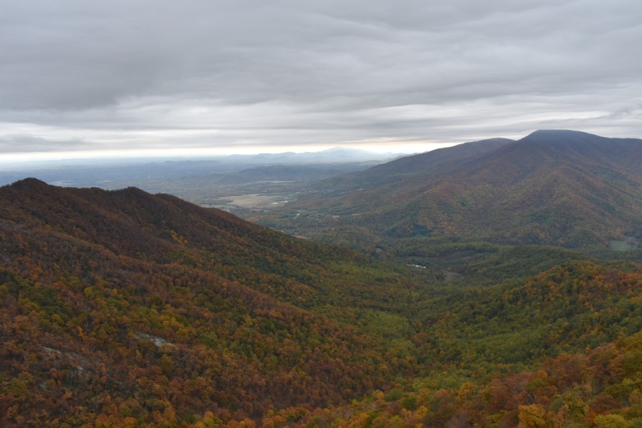
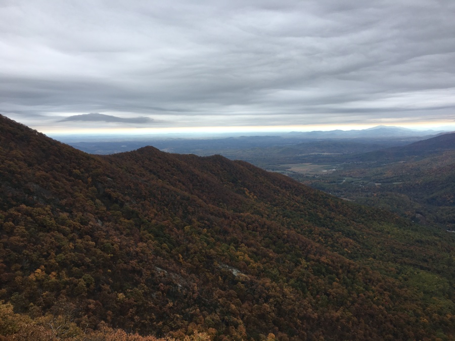
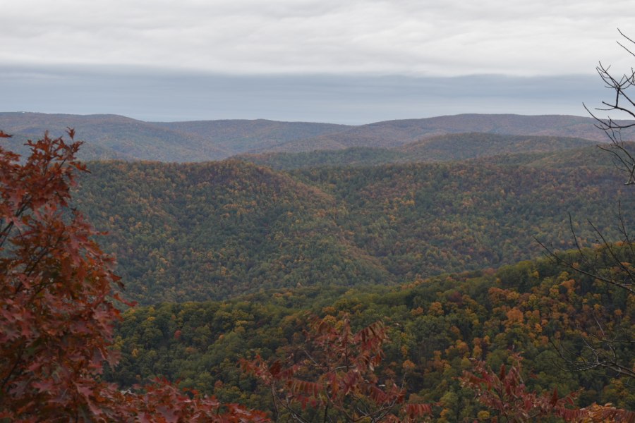
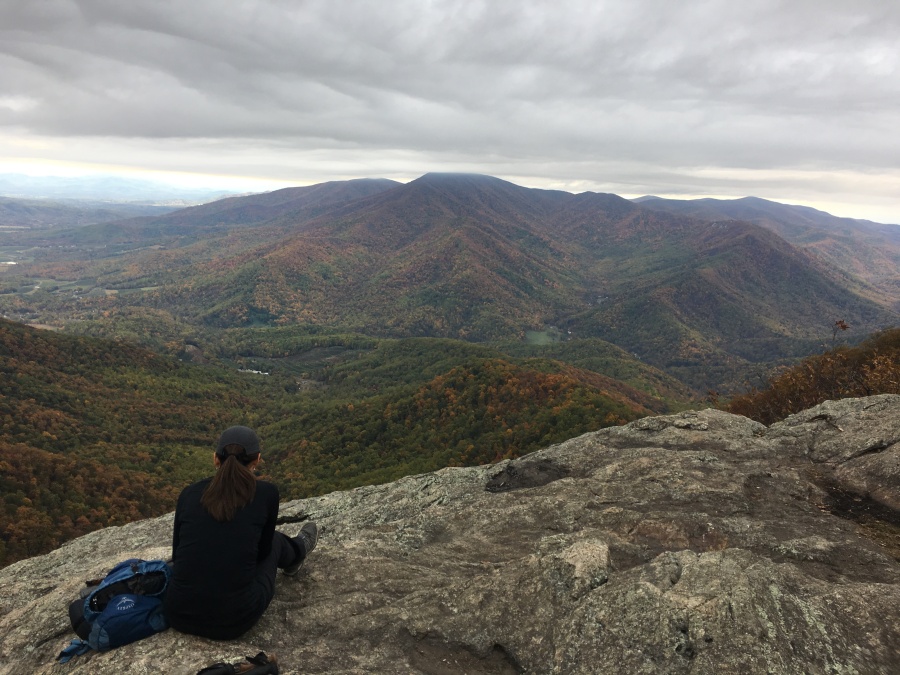
As the AT swings the last switchback to the ridge, the first A-list view appears, from a small but open rocky ledge. This view alone across the valley to the mountain known as The Priest, which dominates this area, made the hike worth its while. We had reached the first view before the weather turned. Things had worked out better than we even expected!
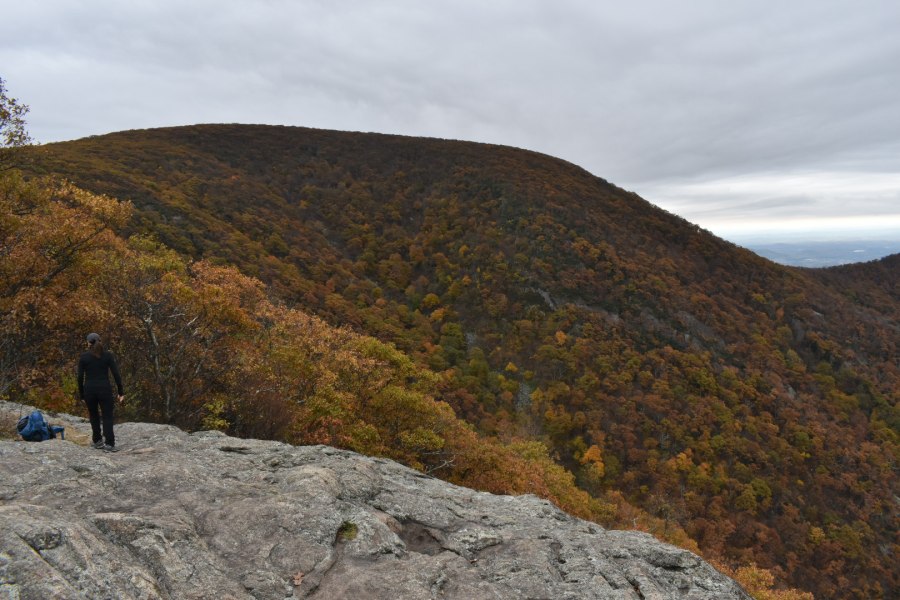
Having the viewpoint completely to ourselves – a rare thing in the Appalachians – we sat and simply soaked up the views for a while.
After a time we moved on, and began encountering the first of what would be many people – first in small groups which got progressively larger, eventually becoming a virtual deluge of people.
A short but somewhat difficult pitch with scrambling over ledges proceeds the second hump, where there is a partial view. The small stone boulder summit itself was occupied by a group of students so we pressed on.
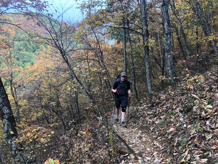
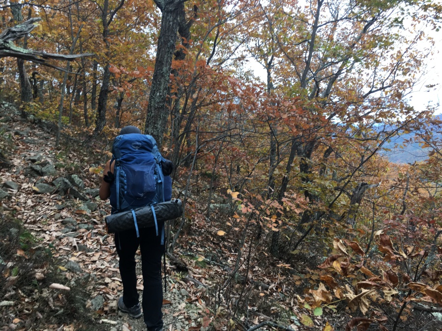
Looming ahead of us was the broad flank of the largest hump on the ridge – the summit of Three Ridges Mountain. Though it looked imposing, we’d stood on ridges just like this and looked up at mountains much bigger than this (3970 feet) many times before.
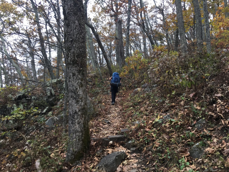
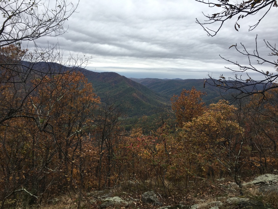
As expected, the trail left the rather chilly and windswept ridge, plunged into the forest and began an ascent of this last summit via a series of moderate switchbacks. Soon the views open up somewhat as the trail reaches a broad, thinly wooded, but brushy plateau. There is a false summit not far from the top, where we stopped for a bit before realizing we weren’t quite there yet.
But soon we were there, reaching a signed turn in the trail where a number of side trails diverge off to camping areas (there are hundreds of potential campsites off this loop, though most are dry) and ledges with partial views. We searched around in this area but were unable to find any truly outstanding viewpoints. With more time to search around one probably could find some, but we decided to just simply on.
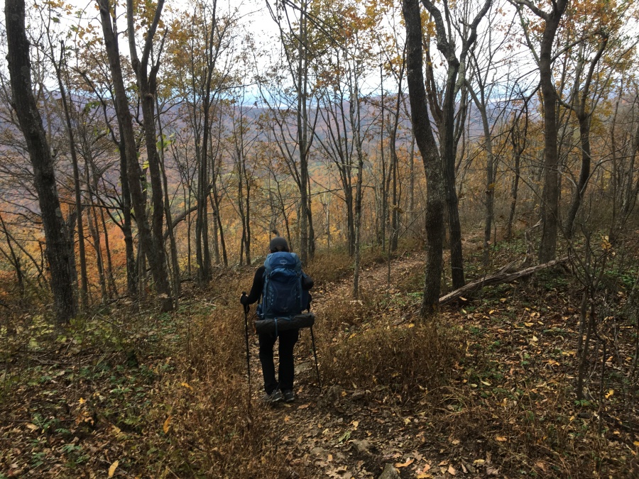
It was after this rather unremarkable summit area that we started to pass really large groups of people, mainly students likely up from the Charlottesville area. The trail continued down at a modest grade, often passing through meadows, sparse woodlands and areas that looked as if they were recovering from past burns, passing yet more campsites but offering few open views.
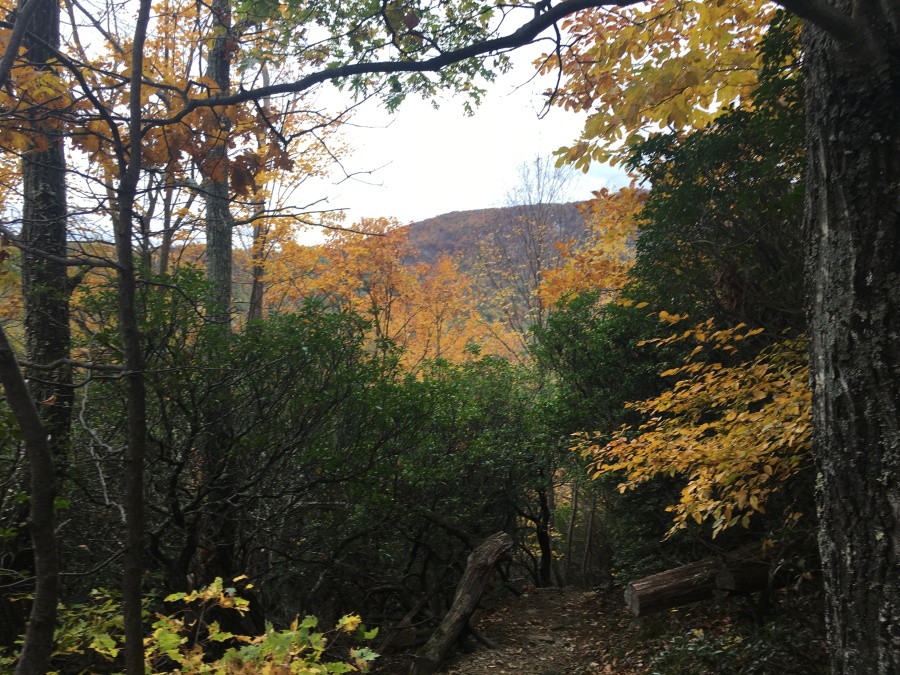
But, we knew that there was at least one more great view on this loop. Most descriptions of this hike speak of the first major viewpoint right off the trail in the clockwise direction as being the best of the whole hike. We had still yet to pass this point, and so we kept one eye on the weather (Still holding) and soldiered on.
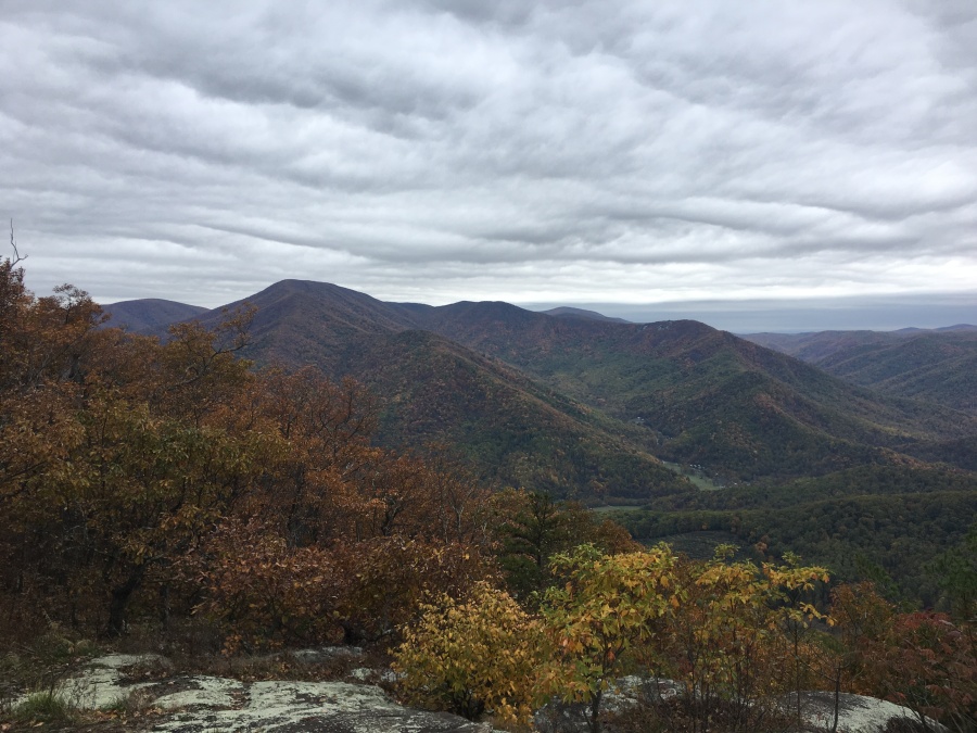
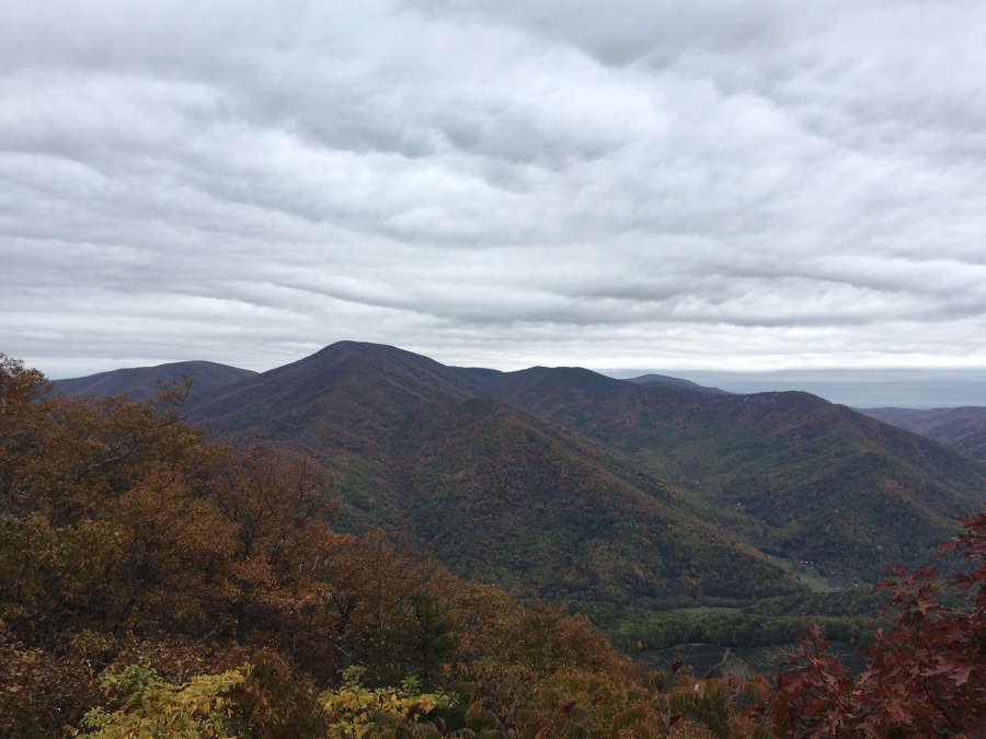
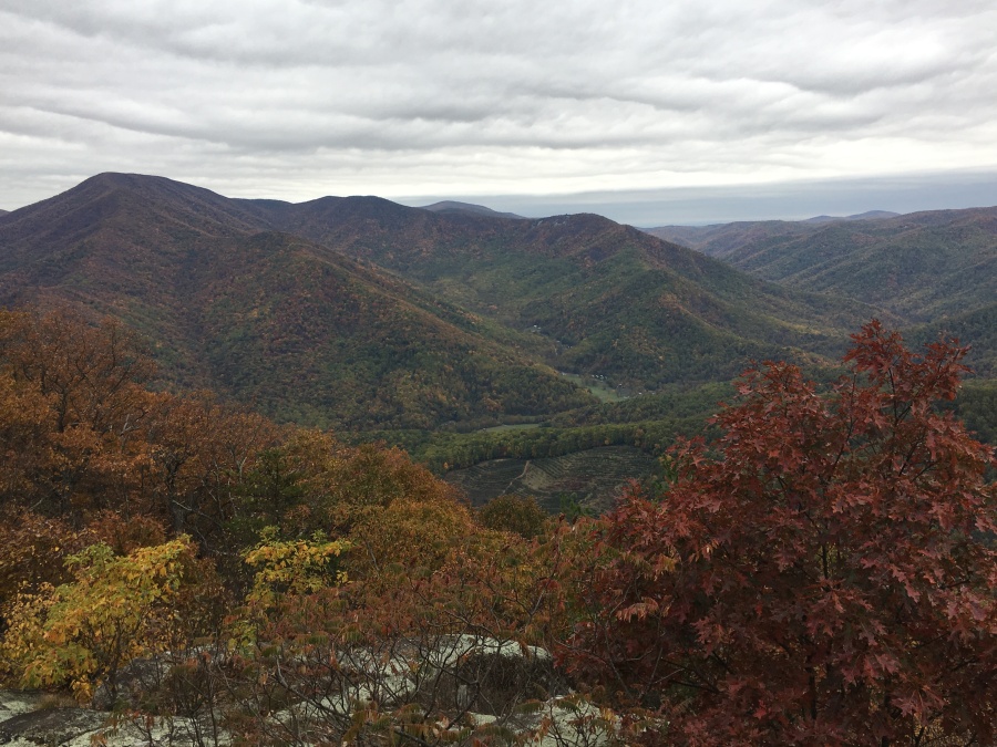
Finally, we reached a modestly sharp and rocky descent, passing some more student groups. At the bottom of this we found a rock knob that seemed to be hiding something. We went around this rock and…oh boy! There it was, the best and most dramatic view of the hike. And we had reached it before the rain came!
(In fact, barring the minor sprinkles that might have fallen during the night, it never rained on this hike at all. We saw no rain until we were driving home, well after dark, in the area of Richmond VA.)
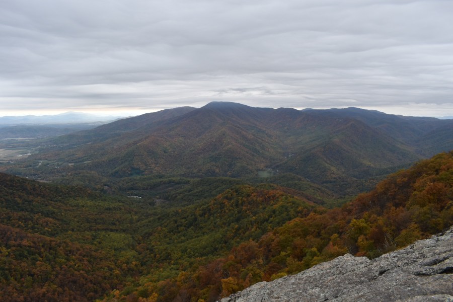
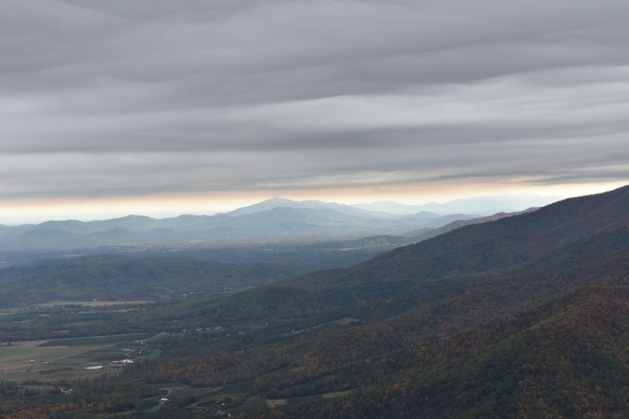
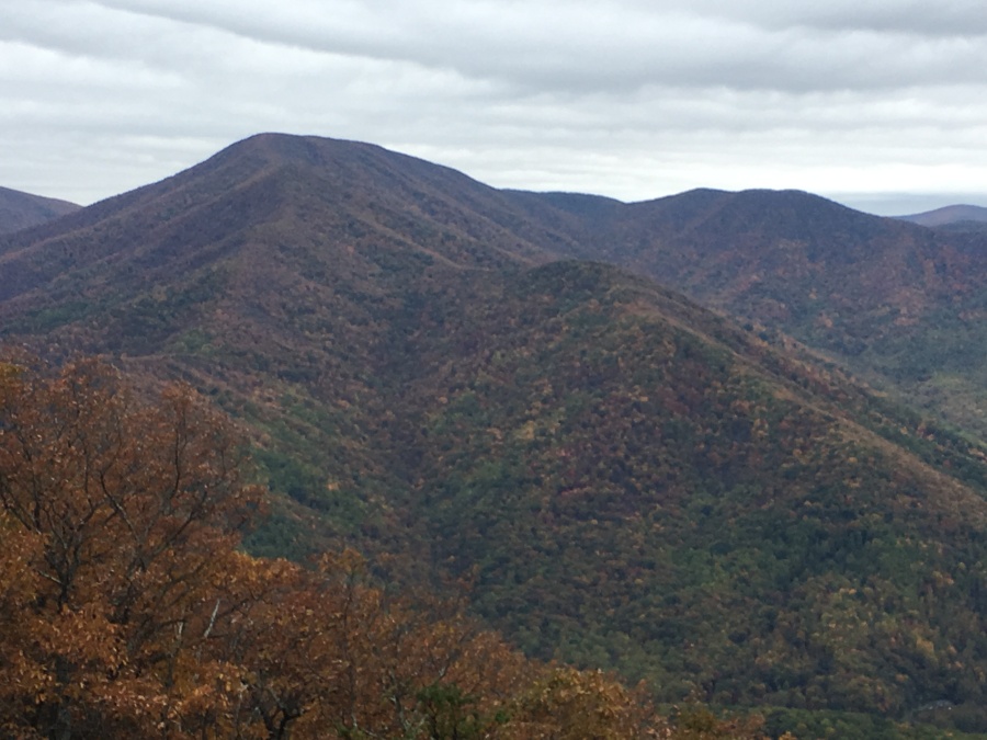
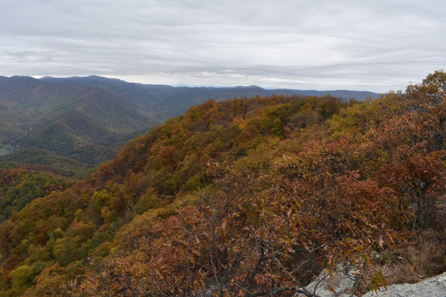
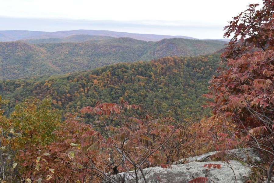
The view here from a tall rock ledge is similar to the one at the first viewpoint but is wider and more dramatic. The Priest again dominates the view, its head stuck temporarily in the clouds. To the left is the complete arm of the ridge visible from end to end, dotted by a surprising number of rock ledges; The valley below was largely still green, but the mountain sides showed band after band of wonderful fall colors, many close to peak. This spot alone was worth the whole endeavor!
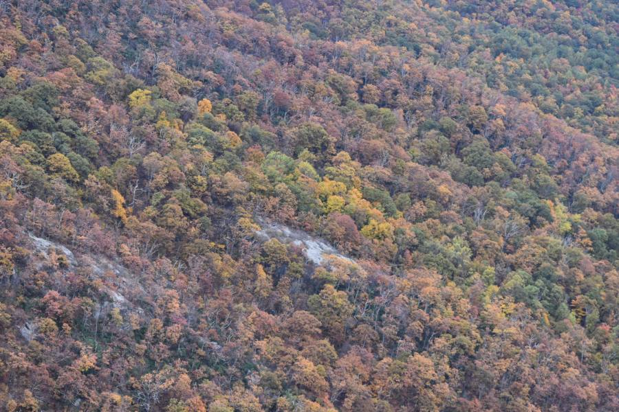
As we stepped out on the ledge a man helpfully asked us if we’d like to see a bear. He offered us his binoculars and pointed to one of the rock ledges, perhaps a mile and a half distant and four hundred feet below. True to his word, standing in plain sight on the ledge was the unmistakably ink-black form of a smallish bear, probably a yearling by the look of it. It might have come onto the open ledge in search of blueberries or blackberries, which often grow in sunny clearings.
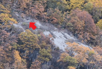
The pictures won’t do it much justice but…we saw a bear. Of course, a couple years back while hiking Old Rag, just to the North, we saw three bears…and all of those were much closer. But alas no pictures of those.
We lingered on the ledge a while as one by one, the people in residence there packed up and left, including our man with the binoculars. After a while even the bear had gone…once again, we found ourselves alone with a great viewpoint straight ahead of us.
But all things must end, and it was getting both cold and late. We hefted up our packs and left behind this last and greatest viewpoint of the hike.
The rest is a laborious descent through admittedly beautiful forest. Though nowhere very steep, to our tired bodies this part seemed long, painful and unrelenting. We were quite tired by the time the Maupin Field Shelter re-appeared…here, a day earlier, we had parted ways with the AT. It was pretty easy going from there on out, but we also knew that a mile and a half of trail and at least one uphill still stood between us and our jeep.
By the way the shelter was now packed – and we mean, sardine can PACKED. Not only were there several tents set up right off the opposite (right) side of the AT (the shelter is actually over a hundred yards from the main trail) but there was a HUGE tent city that had sprung up on the left. Apparently a large troop of boy scouts was in camp, and they were running around everywhere, yelling and screaming and hitting each other with sticks and fashioning makeshift spears and bows and arrows, and generally engaging in all the sorts of character building exercises the Boy Scouts of America engage in. Suffice it to say, good luck getting any rest to those camped in Maupin Field that night. Our advice is, do NOT do this loop on Saturdays. Begin it any other day and avoid the crowds.
The last tedious climb back up and over Bee Mountain seemed, not surprisingly, a hundred times harder than when we had crossed it on the first day. Some campers were set up on the ridge, and many more were on the way up, though it seemed to us to be a bit late to start (after 5 pm now) and there was no water anywhere nearby to be had.
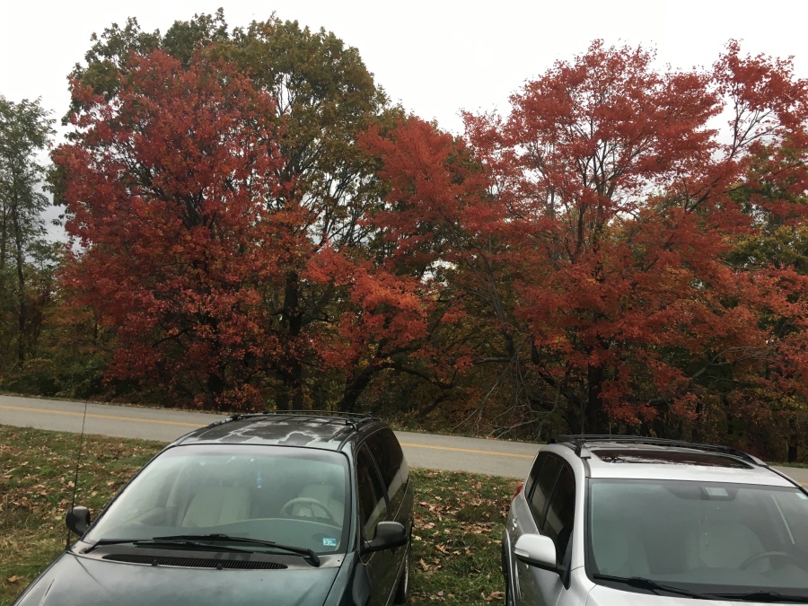
Finally, a road appeared beside us – the Blue Ridge Parkway, now busy with holiday leaf peeping traffic. We arrived back to busy Reids Gap to find three times as many cars as when we had left, and people swarming everywhere. A couple was having wedding photographs taken in a field across the way, and other people were simply shuffling about, staring at fall colors and whatever else there was to stare at.
We packed up, headed down to Waynesboro for dinner at the Green Leaf Grill, and then out on the road for the three hour trip via I-64 and 85 back to Raleigh.
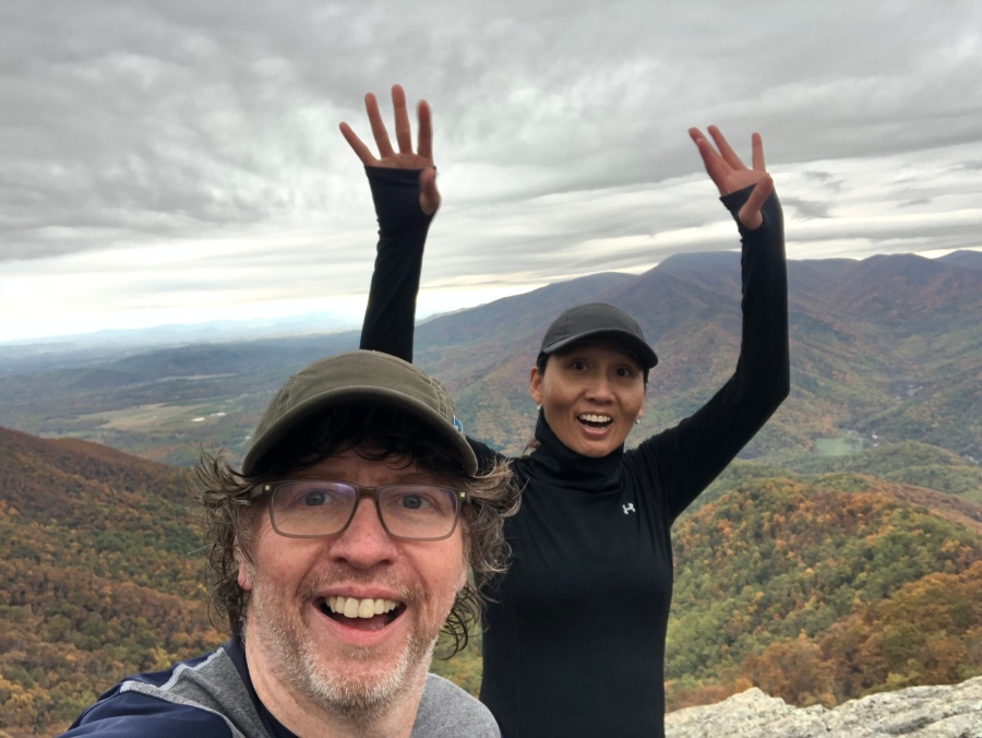
Another one in the bag, and this was a memorable one. We had completed the Loop…One, Two, Three Ridges and out!
Next up: The Three Ridges Hike Logistics and Planning