Via Kimsey Creek, Appalachian and Long Branch Trails (in counter clockwise direction)
*One of our Top Ten Hikes in the Southern Appalachians!
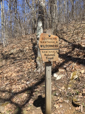
- Nantahala National Forest, NC
- Approx. 24 miles
- All Trails lists elevation gain as 4,419 ft; add a little if you take in the true summit of Standing Indian
- Our Time: Two and a half day backpack
- Difficulty: Strenuous (due to distance and one tough scramble; most is moderate)
- Best done in fall or spring
- B.I.T. Rating (****)
Directions: Access is from the back country bulletin board at Stand Indian Campground near Franklin, NC. Click here for details. Parking here is free but use of the facilities is NOT (there’s a $2 day fee, and more if you stay at the campground.)
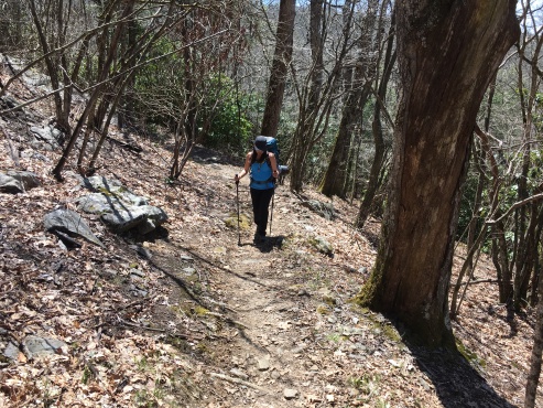
Brief Description: A southern classic, one of the very few places where you can do a true loop hike using the AT as the main corridor. Most go in the counter clockwise direction (which we recommend) using Kimsey Creek Trail to ascend to Deep Gap, then follow the AT over Standing Indian Mountain to Glassmine Gap, returning to the start via the Long Branch Trail. Apart from one very intense scramble on Albert Mountain, most of this trail is surprisingly moderate. There are numerous alternatives to this loop.
Why do it?
- The SIL is a good introduction to the AT
- Suitable for hikers of all abilities assuming they can carry an overnight pack
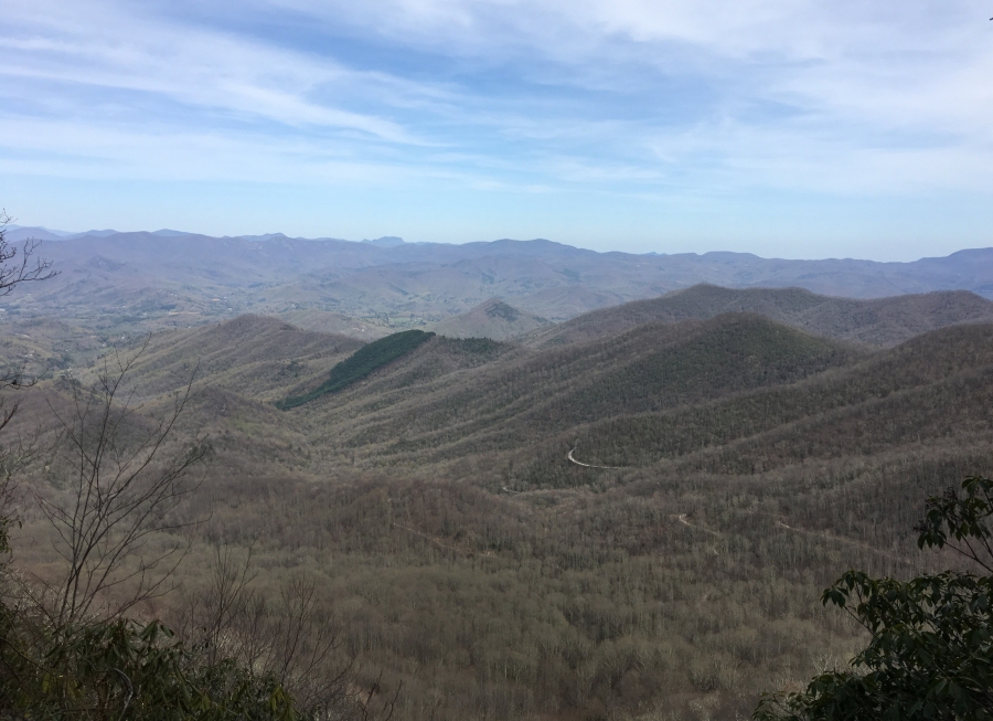
- Viewpoints at Standing Indian summit, Ridgepole Mountain area and (especially) Albert Mountain
- Generally good footing and modest grades
- Exhilarating short scramble up Albert
- Fire Tower on the Albert Summit
- TONS of good camp sites along the way
- Three shelters en route
- Conveniently loop back to your car!
- Experienced hikers will enjoy challenging two day option
- Network of roads, trails in the area make for many possible itineraries
- Very remote Southern Nantahala Wilderness
- Most sections of this loop lightly traveled
- Serious wilderness character in places
- Real chance of seeing bear or other wildlife
But first, consider…
- While it’s a fairly modest backpacking trip, the SIL is NOT easy
- You have to carry a full pack
- Brief (150 yards) but VERY steep scramble up Albert Mountain
- Descent of Albert on the backside not a scramble but also pretty steep
- Not recommended in clockwise direction due to the scramble
- 5499 ft Standing Indian Mountain a formidable obstacle
- Though water is continually available, sometimes finding it is hard
- Campsites abound but many are dry
- A guidebook helps here
- Profusion of side trails/roads sometimes confusing
- Many of the side trails take you far from where you started, limiting usefulness as a bailout option
- Though the trails may not be crowded the shelters oft are, especially in April (thru-hiker season)
- Summit of Albert Mountain is near road access and can be overrun with people
- Older Maps/Guides may still list the shelter at Big Spring, which was relocated to Long Branch nearly two miles further up the trail
- Parking area for this trail is on a little used forest service road; we had no problems here, but this is NOT a place to leave valuables in a car
- Though there are many viewpoints, 95% of this trail is in the trees
- Entirely possibly you will see noting but trees and clouds
- Prepare for heat/bugs in summer, snow/freezing conditions in winter