Patagonia: The W Hike, Day 2
**Completed in November 2019, The Torres del Paine ‘W’ hike is Sylvia and Brian’s fifth BucketList adventure completed together. It is also the furthest they have ever ventured for a hike.
The first day had ended poorly, and day two didn’t start out any better. It had rained almost all night. But we were encouraged by a weather forecast given to us by a couple young hikers at breakfast, one from Chicago, who reported the skies were supposed to clear later on. We might not have seen the Towers of Paine…but there was still a chance we might see the Horns.
Our tent had stood up well to the Patagonian winds, but these had had come up to blow hard a handful of times during the night.
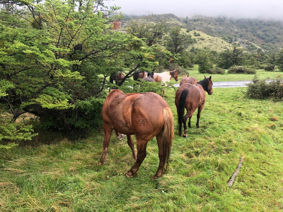
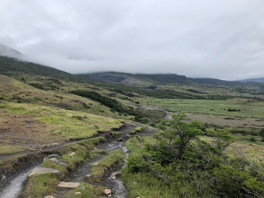
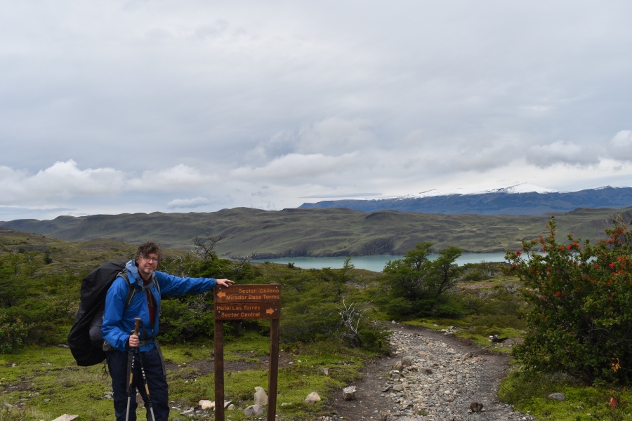
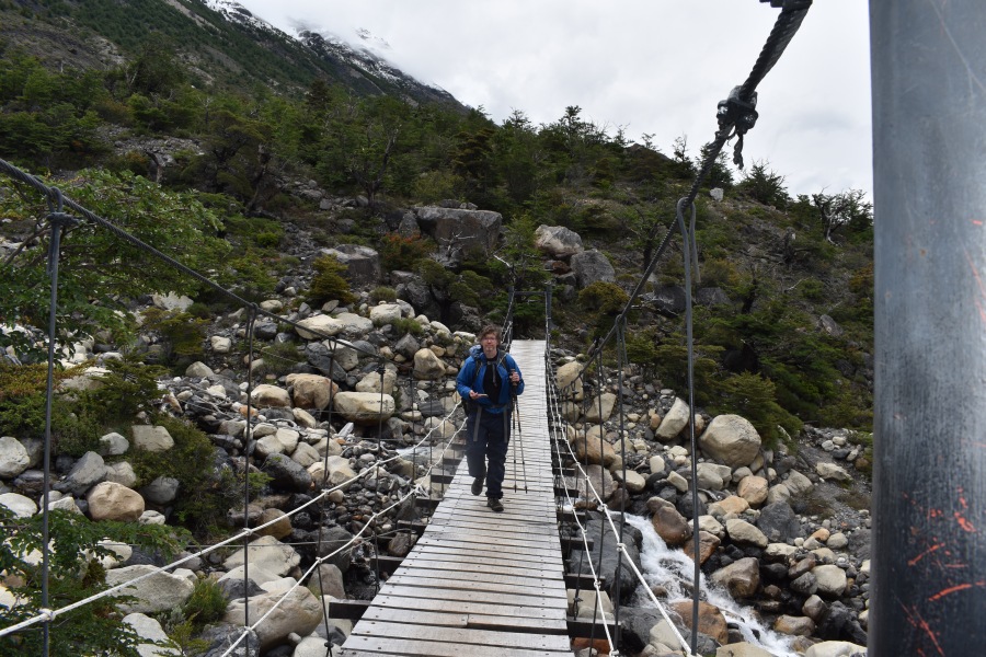
We packed our sopping stuff and slogged off down the same way we’d gone the day before, though not before getting turned around a bit looking to the cutoff for the Cuernos. We found it soon enough. Sylvia, who loves horses, managed to find some of those too. There were no shortage of clouds, or puddles. Or mud.
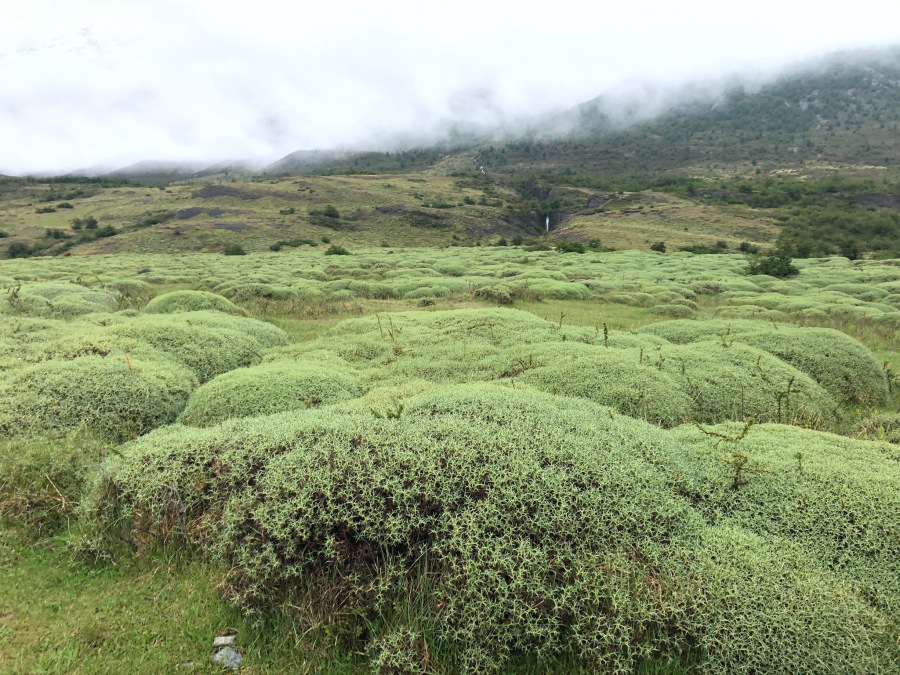
After diverging from the trail that leads up the Valle Ascencio to the Towers, the trail enters into an open, treeless area of weird, tussock-like shrubs which have clearly evolved to withstand high winds. We seemed to be the only thing moving in this landscape.
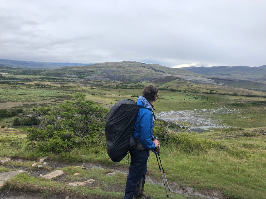
This, so we hoped, would be one of the easier days on the W…a fairly straight shot to the Refugio Cuernos (Horns), perhaps four hours hike away. We expected no major challenges on this day, apart from whatever the weather might throw at us. A relatively moderate day would help us to prepare for the challenges of Day 3 — our longest and most ambitious day by far on the Trek, which included an assault on the French Valley.
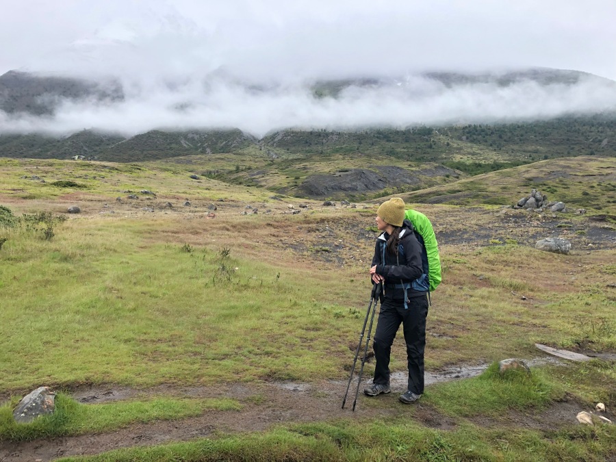
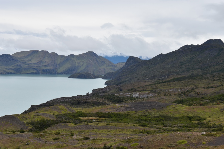
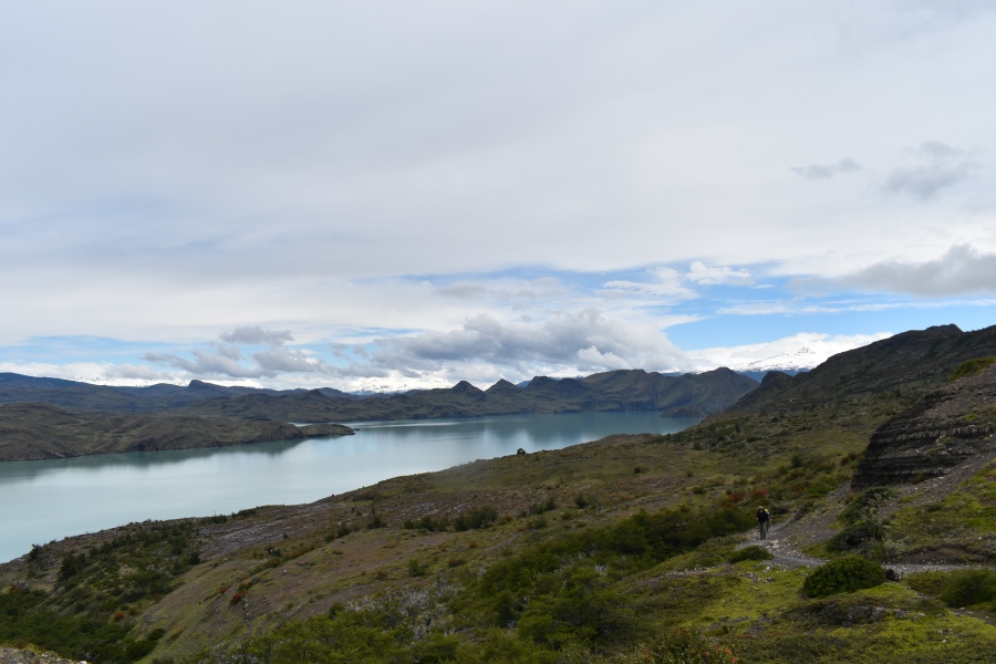
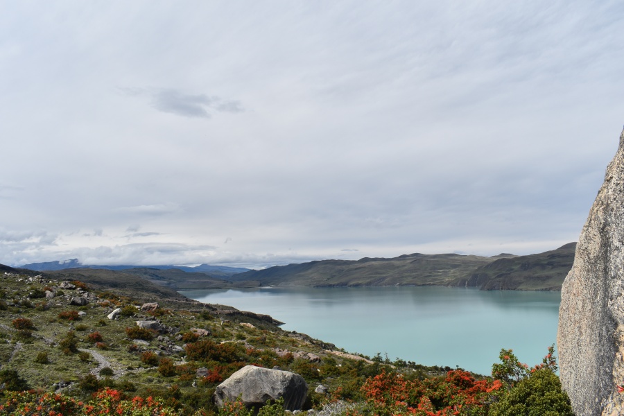
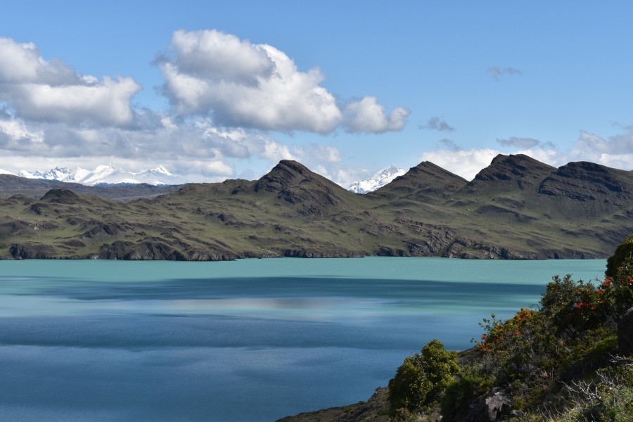
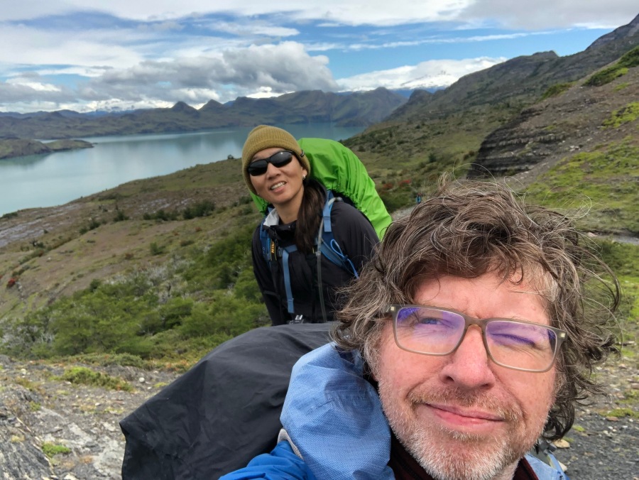
After a bit the trail rises to a rocky shelf, then sidles along a fairly good sized lake. We could see and hear some people camped down there along its shore. After passing this seemingly big lake, it comes around a bend to a view of an enormous lake. This would be Lago Nordenskjold.
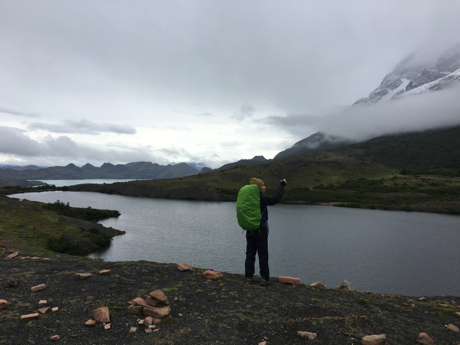
We found a viewpoint, got out the camera and started shooting pictures. Even as we did, the sky began to clear, the clouds start the fragment, and the light to shift in strange ways. What a strangely picturesque lake!
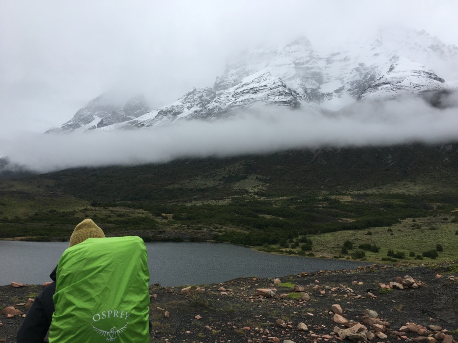
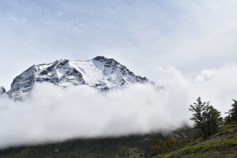
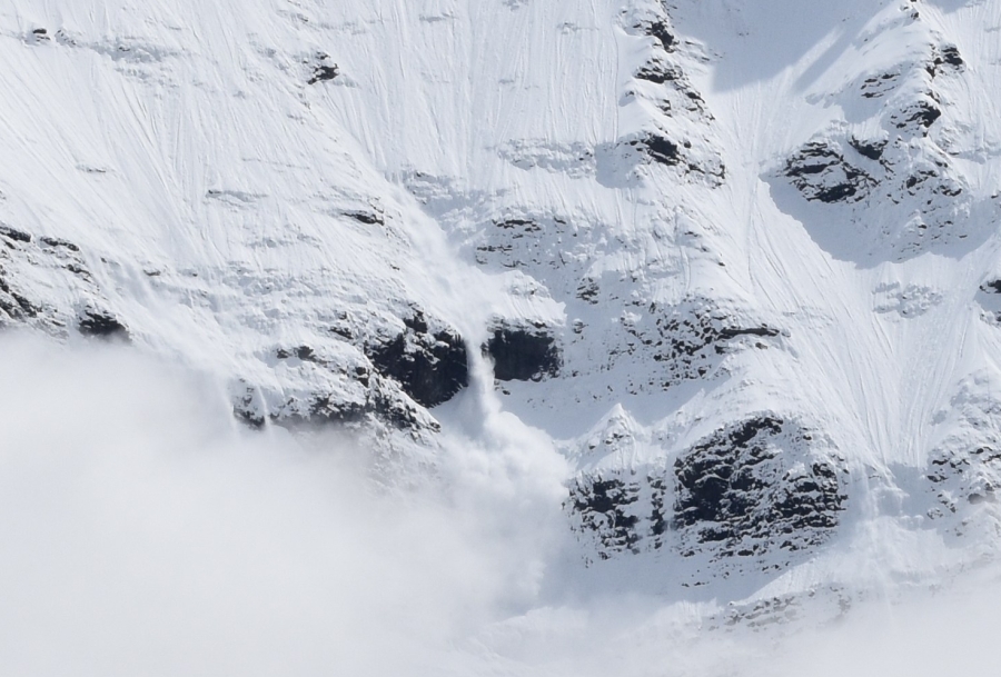
Suddenly, behind us, we heard a boom! followed, after a few seconds, a deep rumbling sound. The sun, though almost invisible to us, was shining above the clouds on a nearby snowfield on Monte Almirante Nieto; and it had triggered the first of dozens of avalanches we would witness on this trek, all at a safe distance.
With the prospect of clearer weather opening views of remarkable things, the spoiled plans of yesterday were soon forgotten. Brian’s greatest fear — that he would return home with pictures of only clouds — was fading away. For the first time, we began to truly enjoy simply being in the place that is Patagonia.
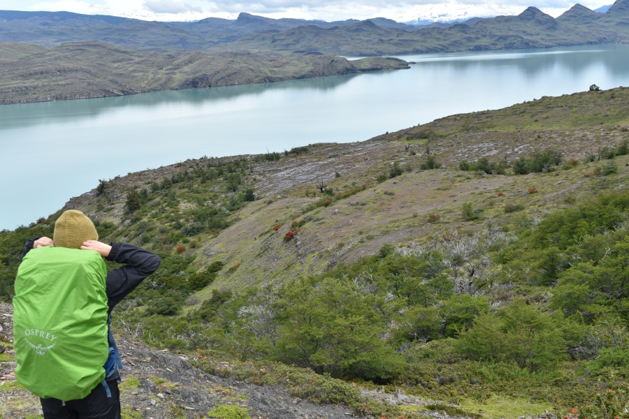
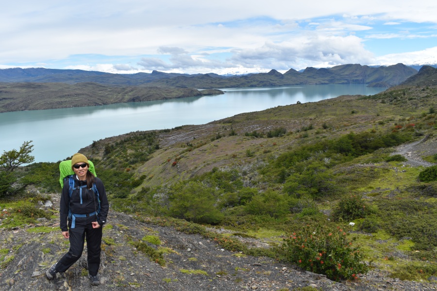
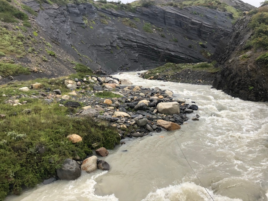
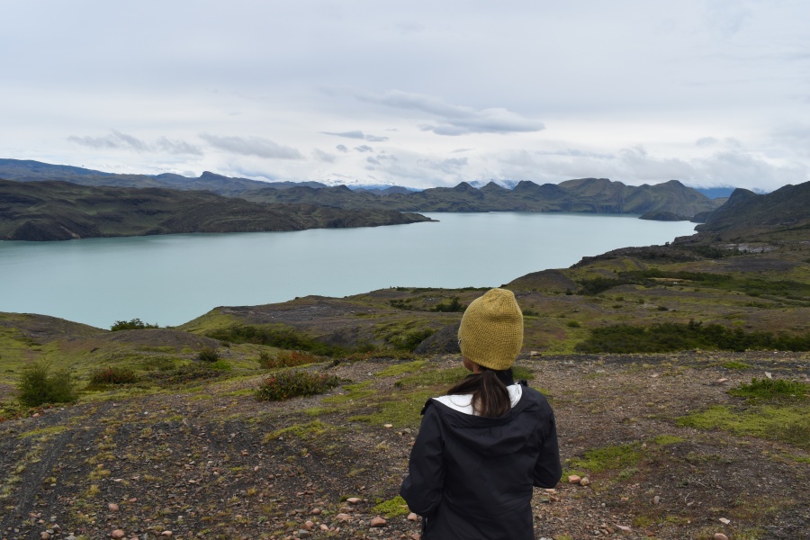
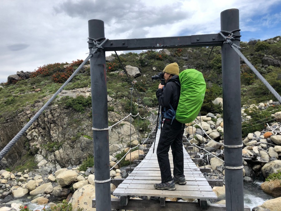
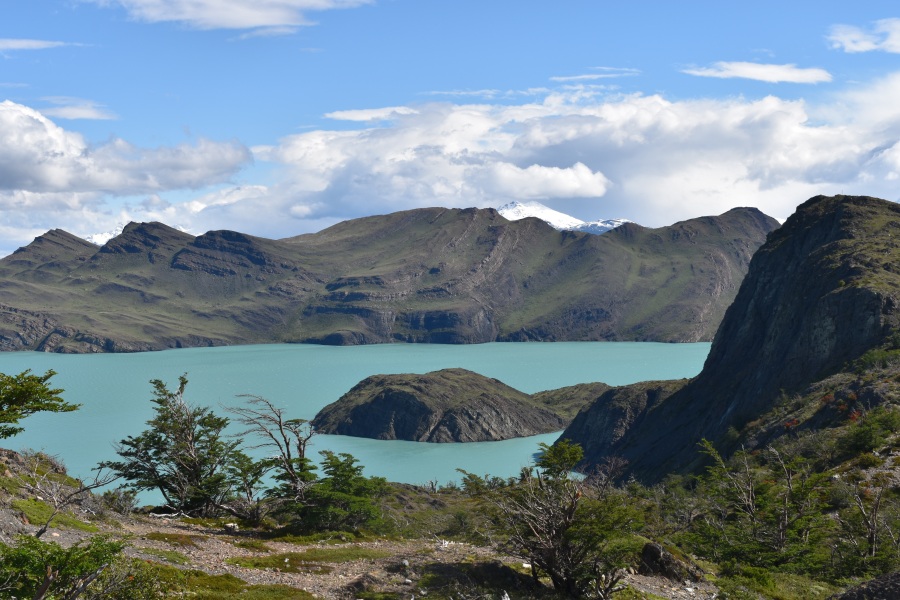
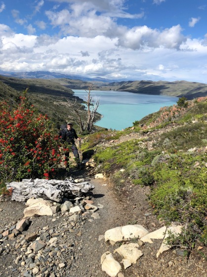
After watching the light shift and change for some time, we kept on down the trail. From this point on the entire section parallels Lago Nordenskjold, staying well above it, sometimes passing behind crags and heights of land but always re-emerging with an even better view. There are many stream crossings on this stretch, and most of the streams were going pretty good from all the rain. But Brian only recalls one that was dicey, and this mostly because a badly positioned branch nearly poked him in the eye.
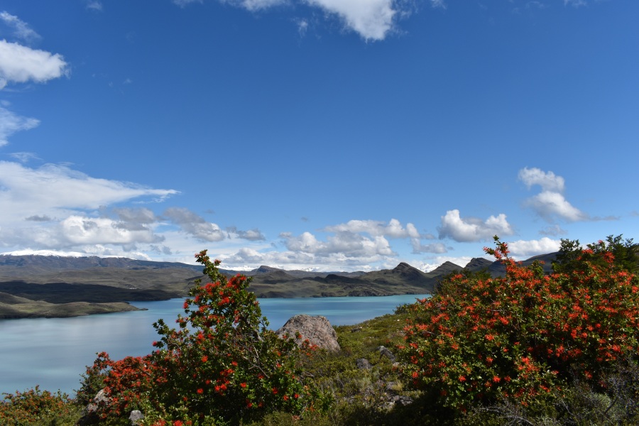
Strangely enough, the weather began to clear to such an extent that we were force to delayer. It felt like…well, like spring back home. The sky over the lake was almost free of clouds, while a few feathery ones still clung to the higher peaks (which never seem to be entirely clear.) The weather was almost ideal for hiking…and the light made for some of the mostly wildly beautiful photographs we have ever taken. Patagonia is awesome!
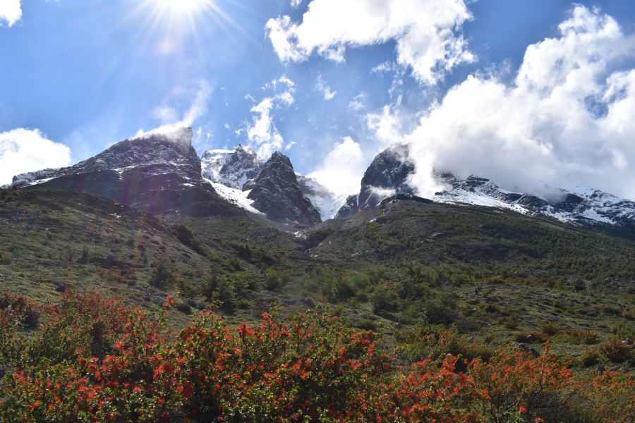

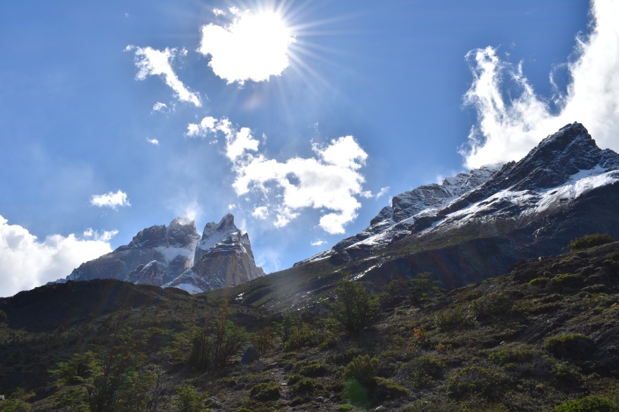
It did not take long for this to change. Patagonia is not so much a place of bad weather as it is a place of highly volatile weather (though certainly it can be VERY bad.) The restless skies are ever changing; nothing ever remains as it is for long.
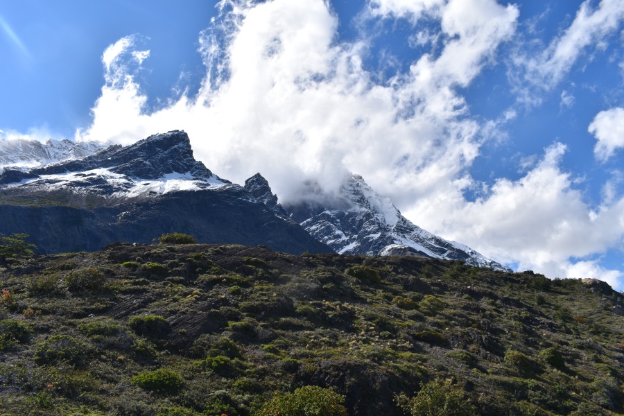
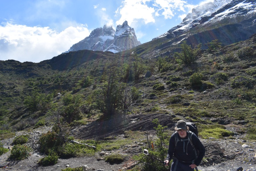
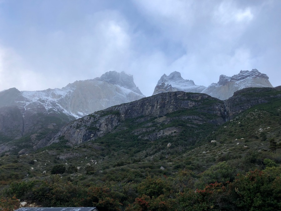
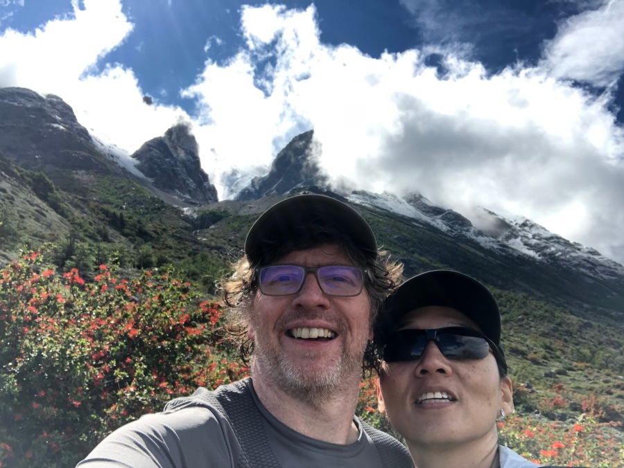
The trail ducked behind a large head of land; the Horns of Paine now towered above us, almost in full view. Emerging from the other side of this headland, a cold strong wind suddenly came rushing down the valley from the Horns and hit us square in the face. We were surprised to look down and see whitecaps on what had been an almost glass smooth surface of the lake, and rollers striking the gravel beaches.
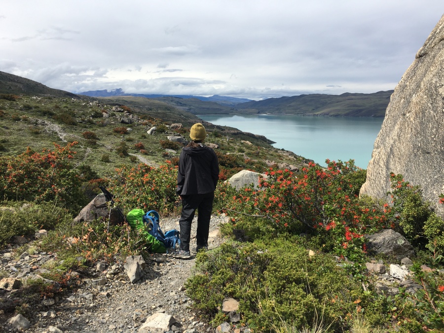
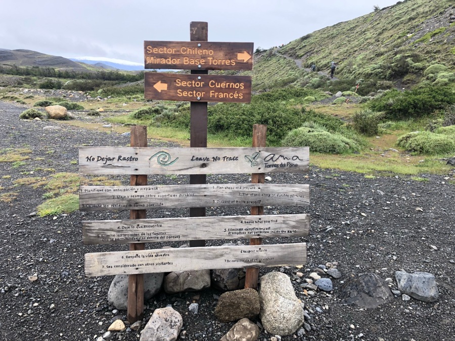
We thought we had to be close to the Refugio, but we were not sure how close. The only sign we had seen recently had been one admonishing hikers to pack up their toilet paper. This seemed a deserted section of trail; there was no telling how far we had to go, and no one to ask anyways. We could see a distant group of buildings but it seemed much too far away, hours by our calculation. (this turned out to be some sort of newly built structure between the French and Italian Camps, many miles ahead.)
We layered back up, and then the trail began to turn down…and then, REALLY went down. We knew for a fact we were close to the Refugio now — we could see signs, buildings in the near distance — but the angle of the descent surprised us. This was a hard and steep trail at the end of a fairly long day and it took us by surprise. There were even sections of it with chain assists…looked like some serious washouts had occurred. We had been hoping for easy, and this wasn’t easy. But we were learning fast — easy trails are relative in Paine. The hiking here, contrary to some descriptions you will read, is quite rugged an challenging, and the character of the trails quite primitive.
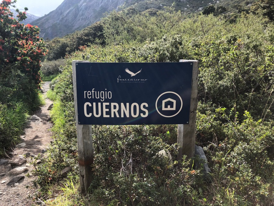
At any rate, we soon checked into Refugio Cuernos, tucked into the trees and scrub at the head of a sloping valley with the Horns looming above. This was by far the best view of any refugio we stayed at, with a remarkable panorama from our tent platform. Directly before us was a view of the lake over the roof of the hostel building. Behind us, the Horns of Paine; to the left was a waterfall in full view; and overhead, circling lazily, was an Andean Condor. You can’t beat that for a front porch.
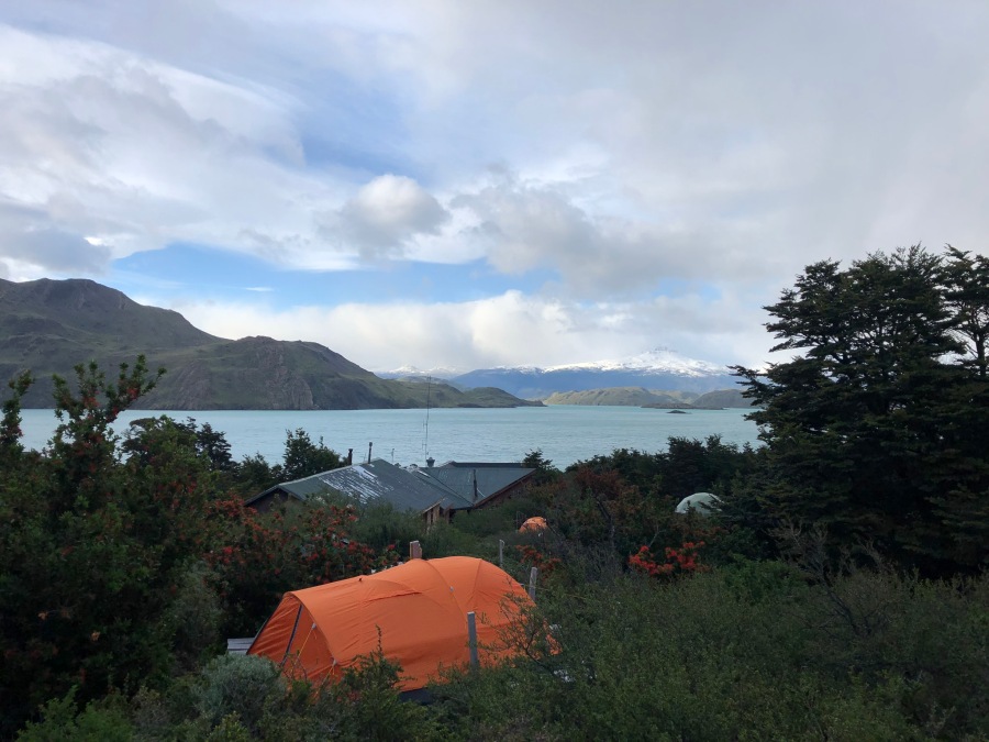
We have never tented on a wood platform like this one, which was basically an inverted pallet on legs. On being shown the platform, Brian was handed a hammer by the camp warden and asked, “How many nails, senor?”
Brian, which no idea what to say, replied, “Uh…six?” Was I supposed to nail my tent right through the neoprene fabric right to the platform? Were the winds really THAT bad?
Actually it turns out there is an art to nailing a tent down, using the nails to pinch the guy lines; the camp warden seemed surprised we did not know this. Oh, those Gringos! Brian at any rate chose to tie the tent down, using other nearby examples (some good, some definitely not good) as inspiration. The result was more than adequate; the tent stayed down without the need for any nails.
We had dinner and a few beers in the hut that night, but Brian — having exerted himself in the setting up of the camp, which had been rushed due to the need to get in for dinner — did not enjoy it at all. Sylvia enjoyed still less Brian’s unceasing complaints during the camp setup (which would continue throughout the W) and the fact that the Refugio’s roof had a leak right over the USB power charging station, a fact the staff seemed utterly unconcerned about. (Hey, it’s Patagonia, right?)
This had not been an easy day, and Brian was a bit concerned about this, because the next day would definitely not be easy. It was much longer, and included a hike up the French Valley to…as far as we could make it, basically. We’d need to get an early start the next morning and then make good time, and have something left in the tank after the French Valley for the final two and a half hour slog to Refugio Paine Grande on Lago Pehoe.
Many thoughts were passing through his head as he rode out the windy night…but uppermost of them was…should I have nailed this damned tent down?
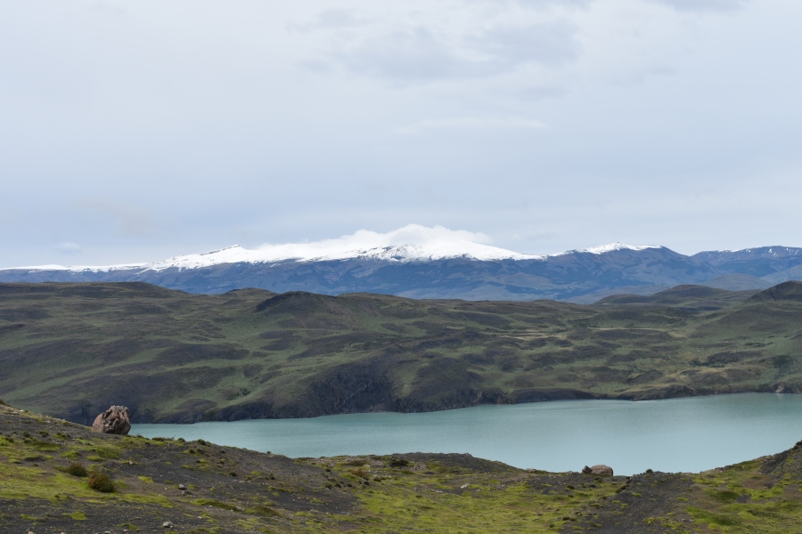
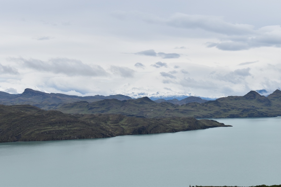
***Did You Know? The Weird coloring in Paine’s lakes is caused by glacial ‘rock flour‘ (or silt); the same phenomenon can be witnessed in the US and Canadian Rocky Mountains.
Next Up: The French Valley, AKA The Day that Would Not End