The Great Shenandoah Trip Part I
Sometimes a bit of serendipity falls upon one disguised as bad luck. For example…Last week we were supposed to go away for a weekend trip, which would have been the subject of this blog post. Unfortunately, Sylvia’s business commitments prevented this from happening.
In search of something to write about, site Editor Brian found himself looking through some old field notes and photographs. He stumbled across what you are about to read, something he’d very nearly forgotten about.
This trip to Shenandoah National Park in Spring of 2011 isn’t greatly consequential in itself. We didn’t do any world shattering hikes or anything like that, though the skies threw everything at us that possibly could. Mostly it was developed camping, site seeing and some light hiking.
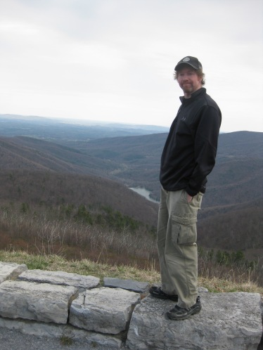
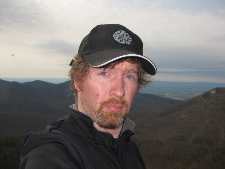
But it was important to us. The trip marked the first real multi-day excursion in the outdoors since Brian badly injured himself in a fall in summer of the previous year, requiring two operations, a ten-day hospital stay and nearly six months of convalescing before he was right again. At the time Brian had some questions about whether he’d ever be fit to do any sort of serious hiking again. It was this trip, humble as it was, that restored his confidence in himself…that signaled he was back in business.
A year later, we would hike the Inca Trail to Machu Picchu. But the rebuilding began here, in the Great Valley.
Site Editor Brian first glimpsed the Shenandoah Valley in the late 1990’s. Finding himself bored on a February weekend in freezing Boston, Brian got up early one morning, threw some stuff into his used Mitsubishi Gallant and drove South, figuring it might at least be warmer. He had no particular destination in mind.
He ended up driving all through the Mid-Atlantic states, visiting the Gettysburg Battlefield, walking the route of Pickett’s Charge (and getting lost in the bushes a few times) and driving down some winding highway, over and through the spine of the Appalachian Mountains and eventually up and over Shenandoah National Park, crossing Skyline Drive probably at Thornton Gap. Near where, years later, he would hike Old Rag with Sylvia.
At the top of the Gap came his first view of the Shenandoah Valley…it must have been one of those days, more common in winter, when the prevailing wind blows the haze in the air away…the sky was clear and the valley below bright and beautiful. He remembers it clearly, one of the finest things he had seen to that point.
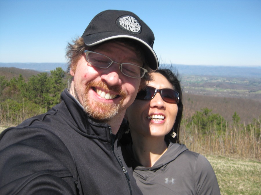
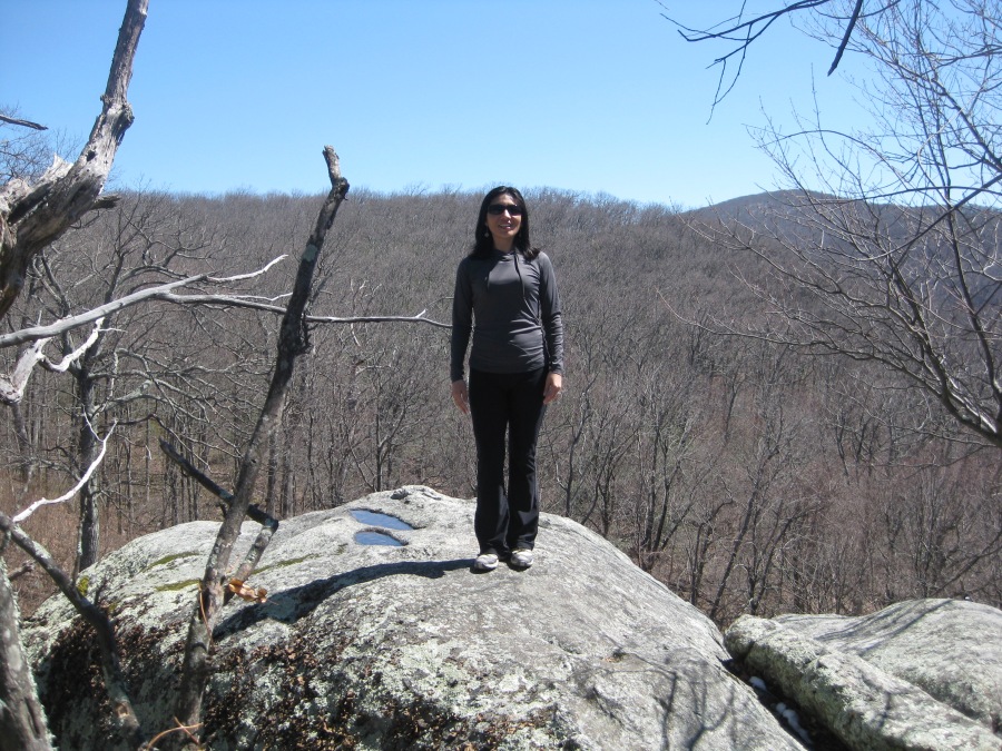
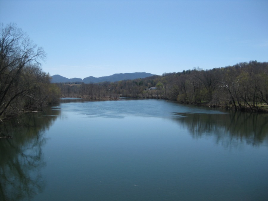
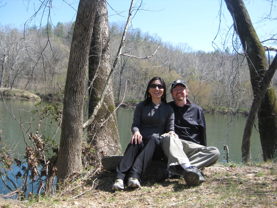
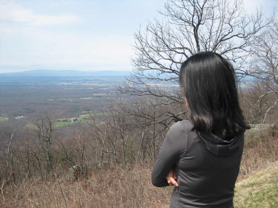
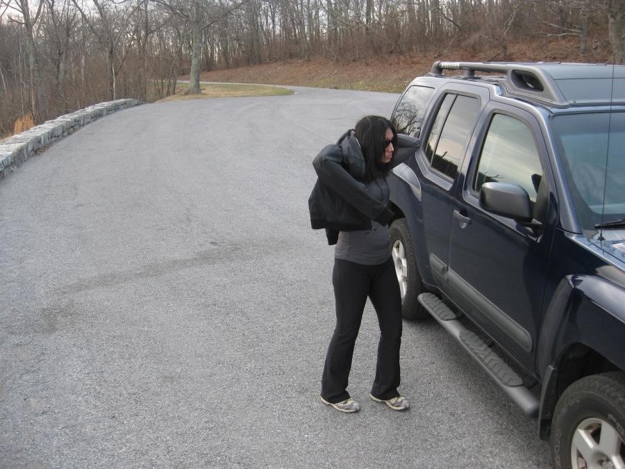
Years later with Sylvia came his overdue return to them there parts. Except this time, we would set out driving NORTH to reach to park, from our home in Raleigh, NC. Our intent was to pick up the Blue Ridge Parkway in Roanoke, VA and drive along it north to the Park…completing the last section of its 469 mile length that we had yet to drive.
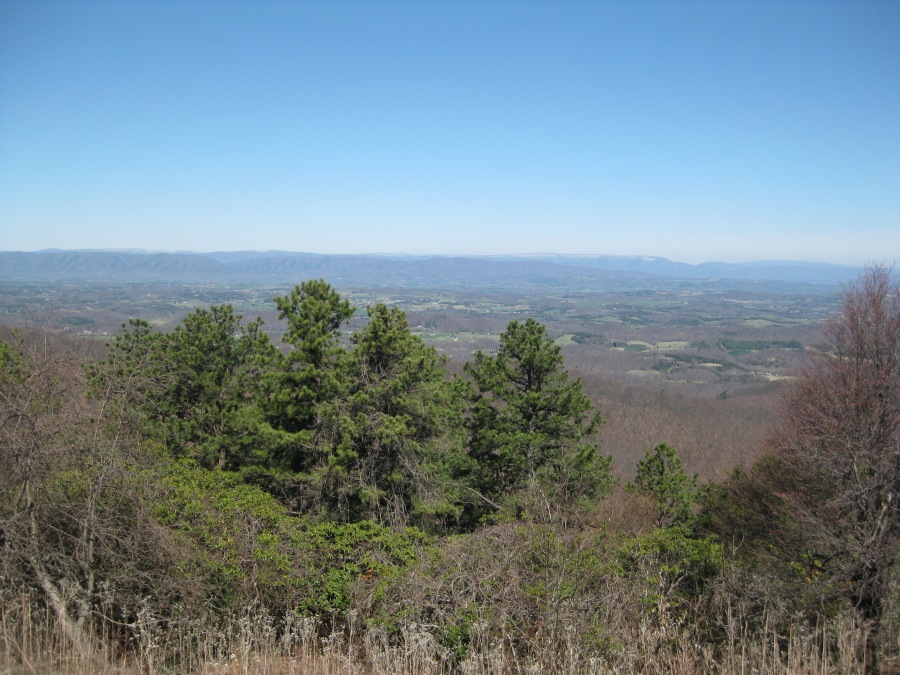
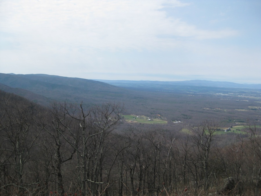
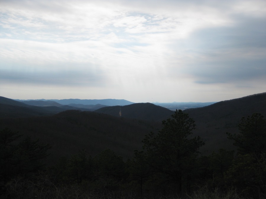
One of our first stops was this one…The Great Valley Overlook at Mile Post 99 (Thanks to https://www.virtualblueridge.com/ for the assist on that one.)
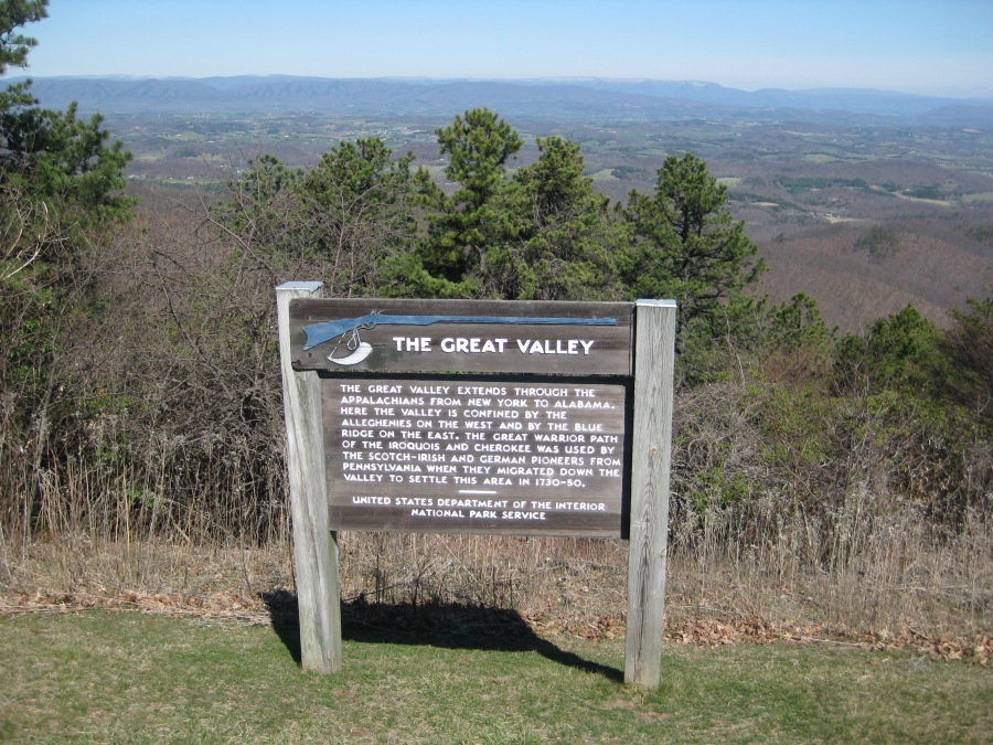
The Great Valley described by this sign, by the way, refers to the Great Valley of the Appalachian Mountains, the long flatland between the two eastern and western arms of the Appalachian mountains, running all the way from Lake Champlain south to the Tennessee Valley. The southern part of the Valley between Blue Ridge Mountains and the Cumberland Mountains (pictured here) is perhaps the most picturesque section. The Shenandoah is a side valley to the Great Appalachian Valley.
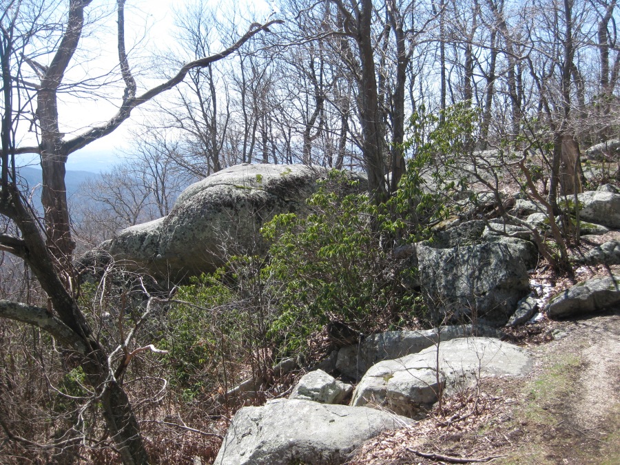
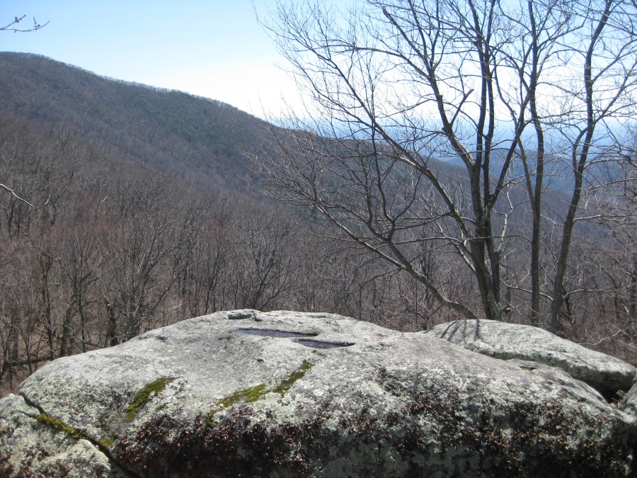
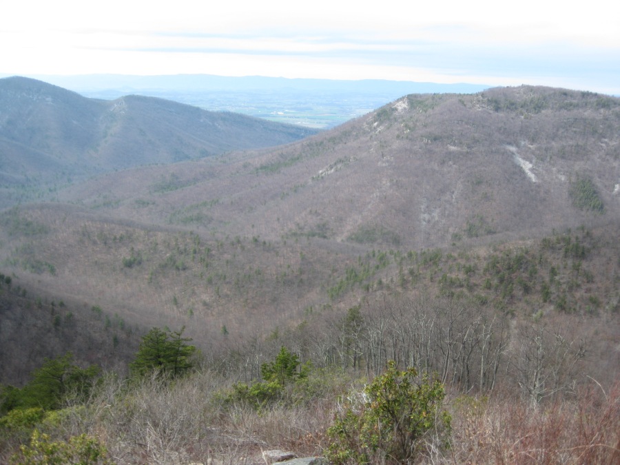
There’s no shortage of things to see along the parkway…these rocks were somewhere in the area of the Great Valley overlook.
Not far up the road is the Peaks of Otter recreation area. We climbed Sharp Top here as we prepared for the Tour due Mont Blanc in 2018, and later staged out of this campground to climb House Mountain. However, on this trip we were passing through. We did stop at the restaurant at the Peaks of Otter Lodge for lunch, against Sylvia’s will. Brian recalls the average age of the diners was about 103; Sylvia gave it two stars out of five.
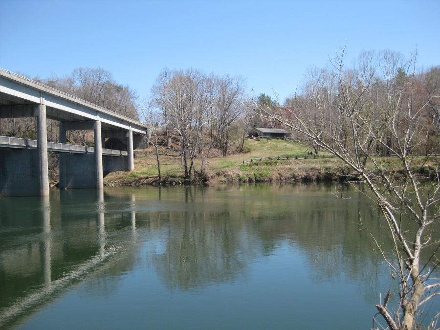
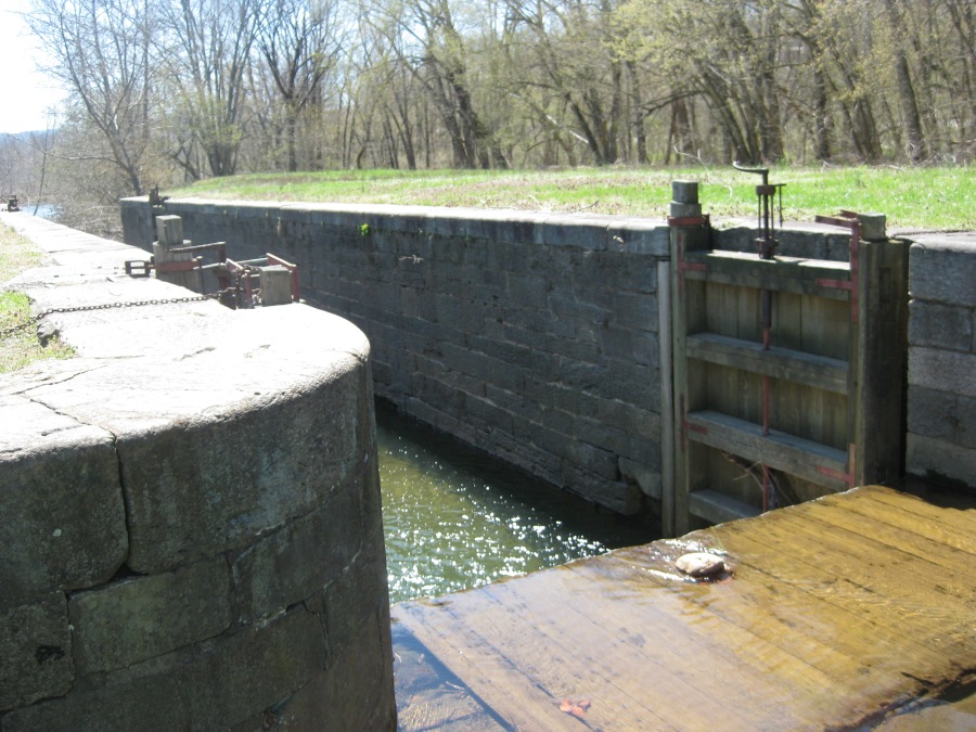
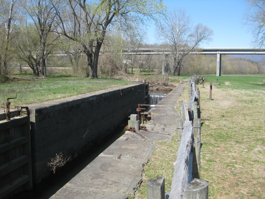
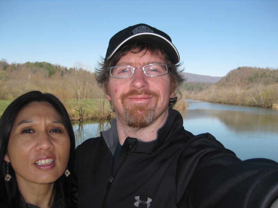
At Mile Marker 69 the Parkway drops down to the James River, which at 650 feet is the lowest point on its entire length. Here, you can still see parts of the old James River and Kanawha Canal system, which was dug beside the river (if you are wondering why they didn’t just use the river, well, remember that rivers flow downhill to the sea…with many breaks and rapids between. Canals with their lock systems allowed barges to float, or even be towed by oxen or mules, in either direction quite easily.) The canal connected what is now West Virginia with Richmond, and was in its time an important avenue of commerce. The idea of the Canal by the way was the brainchild of a Virginia surveyor by the name of George Washington.
The day was memorable for the number of bluebirds and butterflies we saw, most of which did not make there way into the photos.
We continued North to Rockfish Gap where the BRP transitions to Skyline Drive, and one enters Shenandoah National Park. Here, unlike in Great Smoky Mountain National Park, there is an entrance station and one pays a fee to enter. Some of the last sections along the parkway north are, by the way, some of the nicest in Virginia.
We headed for the large developed campground at Big Meadows. In season, this place is usually quite busy. Being that it was early April, it was no exactly deserted. But most of the campground was closed, and the sections that were open were mostly taken by RV-ers.
We put into camp just before sundown and Brian brought some firewood back from the camp store. Two of the people in front of him at the wood shop had been from New Zealand and were auto touring the US. new Zealand…What in blazes were they doing here?
At any rate, we were determined to do some hiking the next day. Speaking of Blazes…the Appalachian Trail runs right past this campground.
Next Up: Dark Hollow Falls and the AT