Eno River State Park, Durham, NC
*We have added Eno River State Park to our list of the best local places to hike in the Triangle Area. In fact, all things considered, sprawling Eno River might have the best overall experience of any park within an hour of the Raleigh-Durham area.
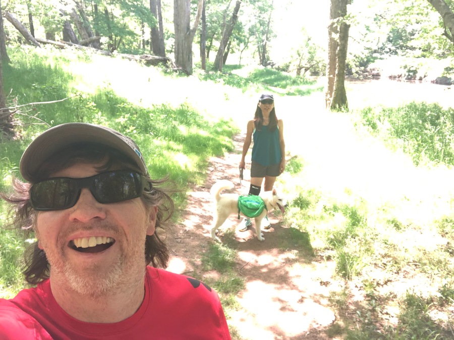
We found ourselves with nothing in particular to do on a Sunny, warm spring afternoon. The previous night, Sylvia had dropped a hint to Brian that she wanted to do something fun with the day. “You said we were going to go hiking,” she said, unconvinced. “But, with you I never know.”
Not to back away from a challenge, Minister of Expedition Planning Brian loaded himself, Sylvia and expedition sled/surf dog Fitz Roy into the Jeep and we headed for Eno River State Park.
Eno River is located on the outskirts of Durham, NC, though Some parts of it actually extend into neighboring Hillsboro. It has some similarities to William B. Umstead State Park on the Raleigh side of the Triangle; both are surprisingly large park units for being so close to a major metropolitan area.
Umstead is larger, and because its acreage is contained with a very well-defined border, is more concentrated. The interior feels much further away from civilization than it really is.
Eno River is somewhat sprawling, extending as it does along 14 snaking miles of the river that bears its name. This makes its impoundment long and narrow, and so development can encroach much closer to the park’s heart.
Nevertheless, it is in some ways superior to the more popular Umstead. For one thing it gets half the crowds. (if you throw out the nearby co-managed Occoneechee Mountain State Natural Area, less than half as much.) Not only do more of the trails here follow the river, but there are actually more impressive heights of land here than in Umstead. In short, we think the overall experience of Eno River is maybe just a bit better than that of Umstead.
Like Umstead it is often crowded on weekends, especially when the weather is good. Expect to have to search for a parking spot in the main lot, if any are available at all. Fortunately there are some less used side lots.
Sylvia and I headed for the main visitor center off Cole Mill Road in Durham. This is the most popular entrance point to the park but by no means the only one…in fact, there are five separate access points. Cole Mill Road is the most developed and has the most parking but is also the busiest.
We hiked this area on a frigid winter day some years back when we did the Cox Mountain Loop, probably the most popular hike in Eno River.
(Cox Mountain, by the way, like nearby Occoneechee Mountain, is generously a fair-sized hill. There seem to be no shortage of fair-sized hills in central NC that style themselves mountains. We give these hills credit for being ambitious, but the truth is there are no true mountains in NC east of the Blue Ridge, and while there are a few very good-sized hills, all of those are within spittin’ distance of the blue ridge anyway. Suffice it to say, central NC is mostly flat.)
Today our itinerary was to hike the Buckquarter creek Trail, which is an interesting name for a creek. Likely it was named back in the days when a quarter was worth about a buck today. How did they know? Wise these old ones were.
Buckquarter Creek Trail is about a mile and a half loop that takes the hiker out along the river and then back again. Alas, we never made it to this trail. For one thing, Minister of Expedition Planning Brian once again became ‘misplaced’ and failed to recognize that the best way to access this trail was to park in one of the side lots near the ranger station, and not the very full main lot.
We still could have reached the trail from the main lot without too much trouble. But when we finally got a space, we realized we’d brought no water…and the temperature was soaring to 82 degrees and the sun was shining. (Just that morning it had rained.)
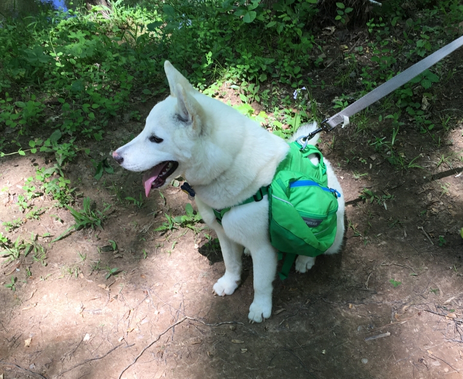
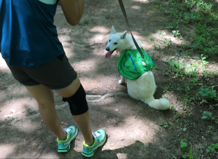
The lot was busy, with many people and many dogs coming and going. A lot of people were obviously out for a hike, and many others were enjoying the large family picnic area nearby. It was some time before we could get Fitz Roy, who is often excitable just after arriving at a new place, calmed down.
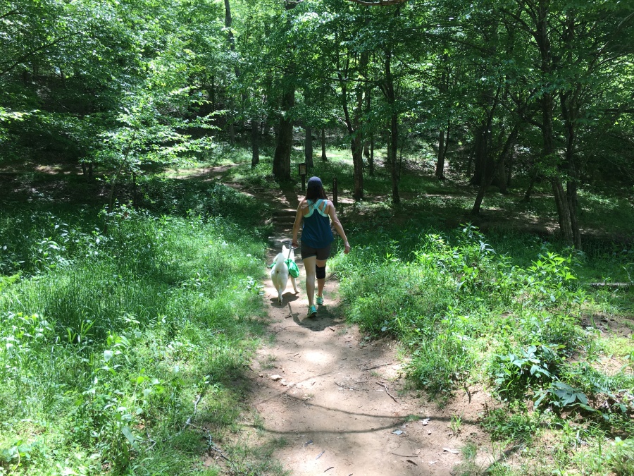
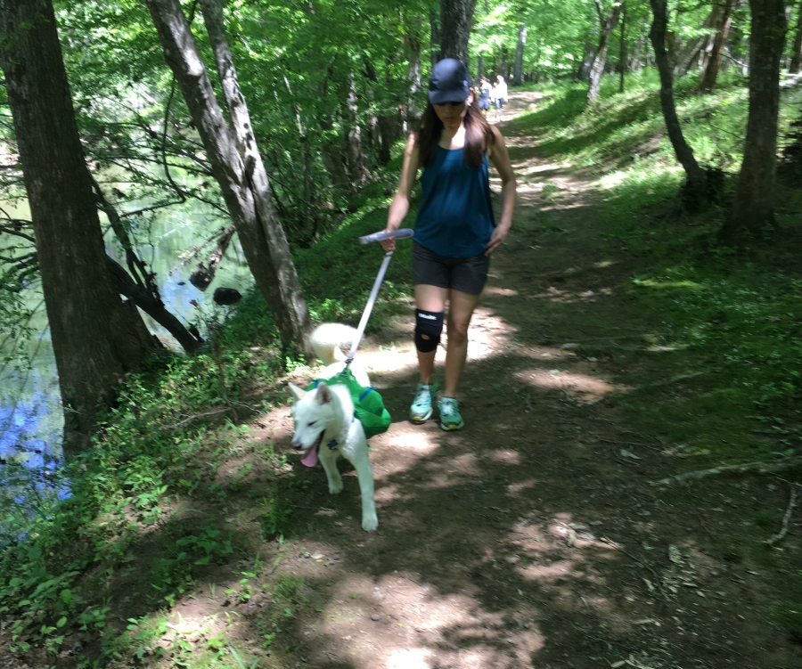
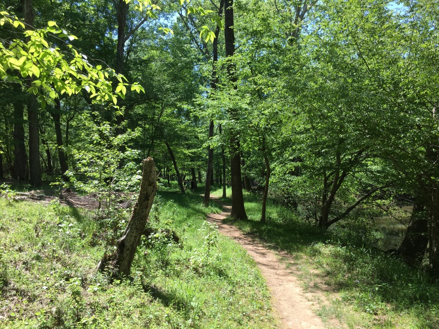
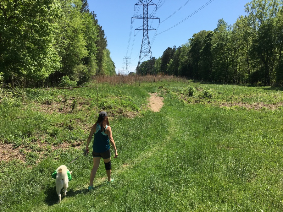
Once that was done, we set of down the nearest trail toward the river, found it at the bottom of an eroded set of stairs, and then just kept walking away from most of the crowds, meandering along the river.
This turned out to be the Eno Trace Trail, a relatively east loop that winds along the river for a way, then diverges and runs inland to loop back to the parking area using old roads. It’s not long, being less than a mile around.
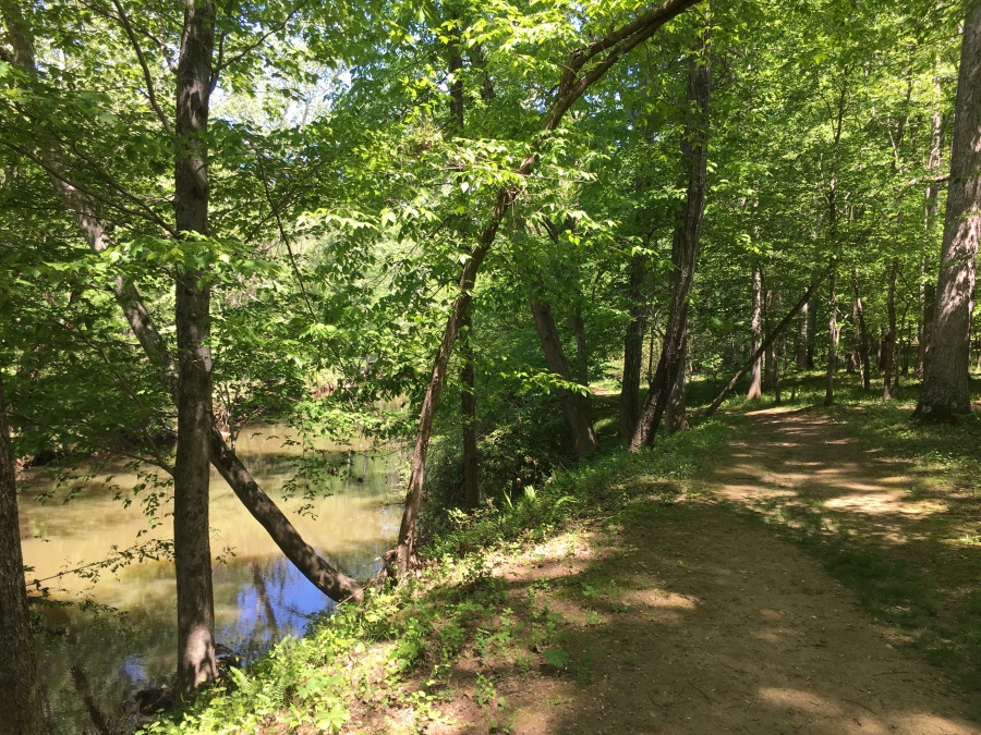
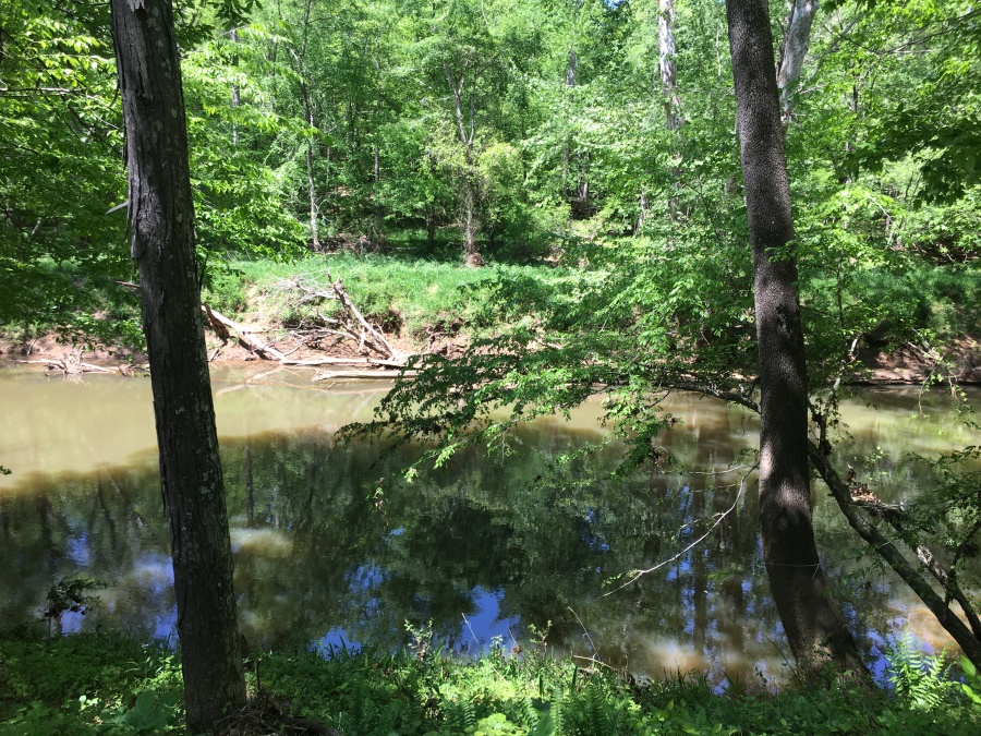
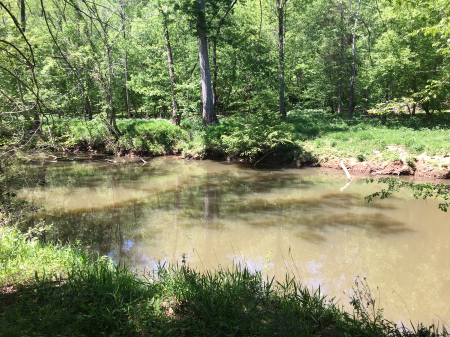
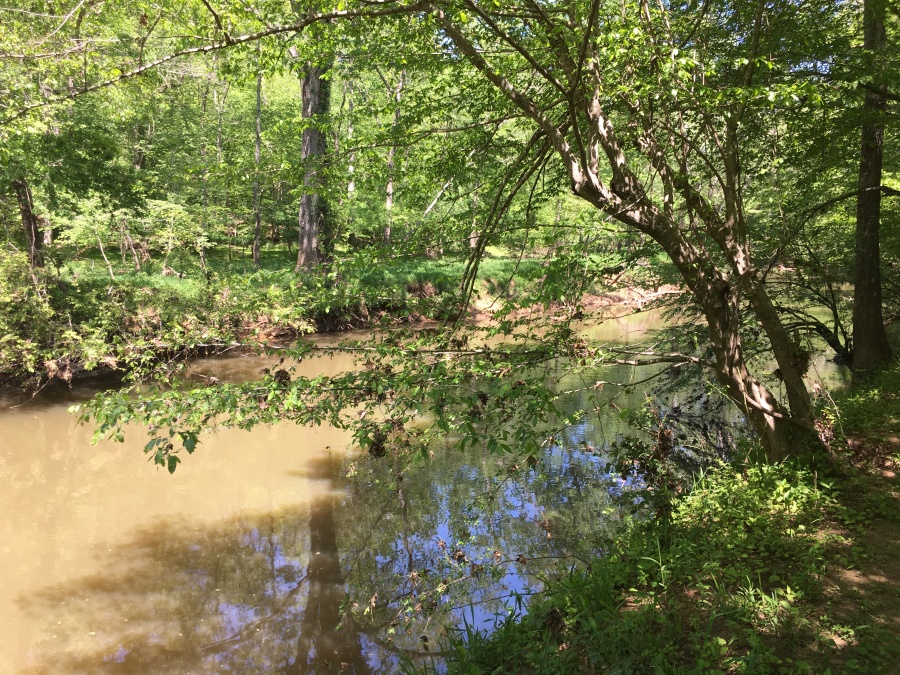
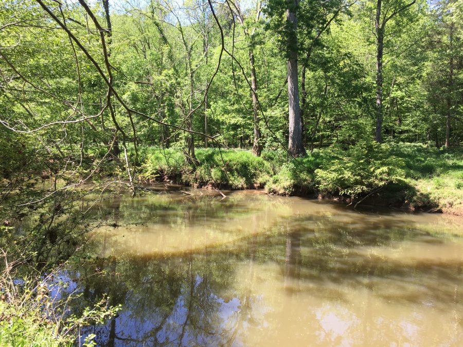
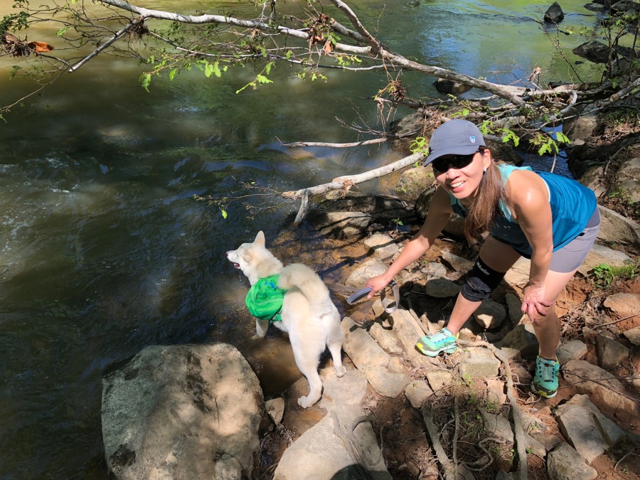
We walked along for maybe a little more than half its length and saw only a few other hikers on this busy day. The river, like most in the Eastern Carolinas, is muddy, but views of it were still plentiful and pleasant.
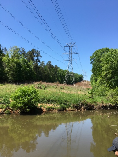
After about a third of a mile the trail swings left and crosses some power lines, the proceeds alongside the powerline right of way for a bit, before swinging left again in a clearing and into the woods to hook up with the old road that takes it back to the parking area.
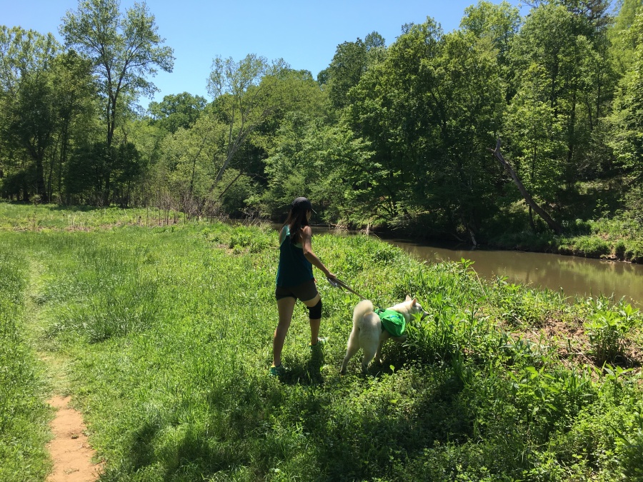
There are no more views of the river after this, a fact which my All Trails app confirmed; so we turned and headed back they way we came. But not before Fitz Roy had a ‘refreshing’ break first.
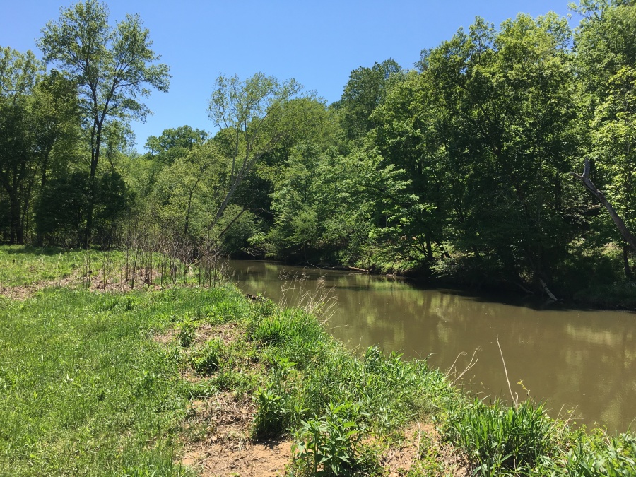
Once we’d retraced our steps back to where we’d joined the trail, we kept on a bit further. This area has a network of trails in it, and one could probably spend several whole days hiking here. While we walked, we could see people across the river doing the Cox Mountain Loop.

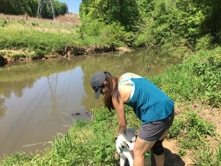
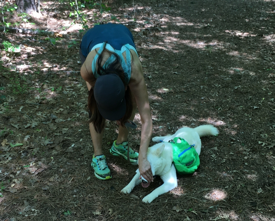
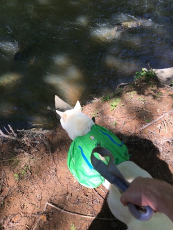
Eno River sustained considerable damage from the flooding that resulted from Hurricane Florence. This section, which negotiates some steep, rocky and muddy banks, is likely one that was damaged. But it’s a short section. Fitz amused himself with a (brief) dip in the river. Generally speaking we don’t want Fitz drinking too much water from local rivers, which are known to be polluted. The water from the Eno River is, however, considered to be fairly good.
https://durhamnc.gov/713/Eno-River-Watershed
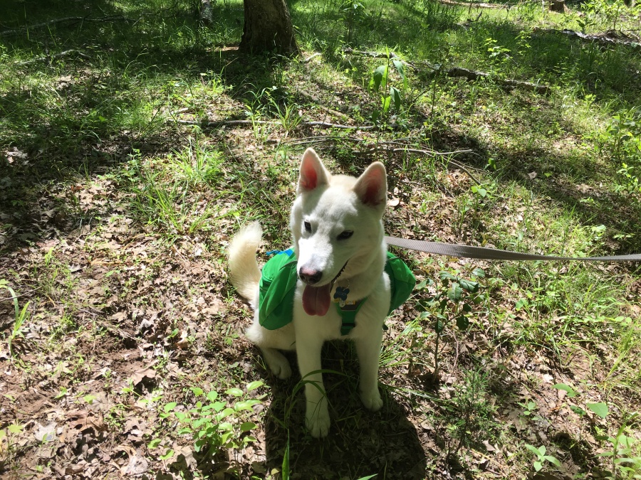
We reached the point where the Cox Mill Trail diverges, heading towards a crossing of the river on a suspension bridge. From there one can reach many other trails in the area, including Buckquarter Creek and the Holden Mill Trail. But Fitz, locked in a fur coat in the afternoon heat, looked quite tired out. We decided to head back to the lot and call it a day.
There are many possible hikes along the Eno River. In fact, there are a good 28 miles of trail within the park. One of the more interesting would seem to be the Laurel Bluffs Trail, which is part of the ubiquitous Mountains to Sea Trail. This a 6 mile plus excursion following the river…and in fact, you don’t have to stop at the park boundary. The MST keeps going, eventually all the way to the Mountains! (or sea, depending on which way you go.)
The excellent site https://www.enotrails.com has a lot of details on this any many other hikes in the park, including what they call the “Grand Eno River Trail”, a 25 miles, three day/two night backpacking trip through the park that includes little used side trails and even fords the river. And yes…primitive camping is allowed at certain designated sites along the trail.
Oh…and you can also paddle the river. The fishing is supposed to be very good.
We’d certainly like to return many more times and do Laurel Bluffs, Bobbit Hole, Holden Mill and many of the other interesting trails in the area. And perhaps we’ll tackle Buckquarter Creek for real this time!