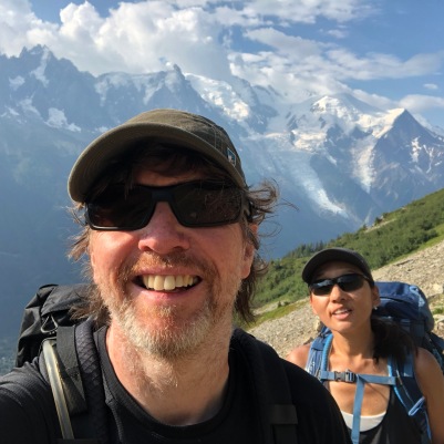
Getting Ready for Patagonia, the Hard to Get to Place
(Featured image Cerro Fitz Roy by Martin St-Amant – Wikipedia – CC-BY-SA-3.0)
The departure time for our Patagonia Trip is approaching.
Last year we embarked on the Tour Du Mont Blanc in mid July. Knowing we would likely face severe logistical challenges we booked everything well in advance…most of the important stuff was begun in February and completed by May. A few things held out on us until right before the trip began, but mostly we were done sixty or more days beforehand.
The challenges for this year are likely to be just as complex, perhaps more so. In Europe we could at least count on an excellent transportation network to get us to and from the trail head.
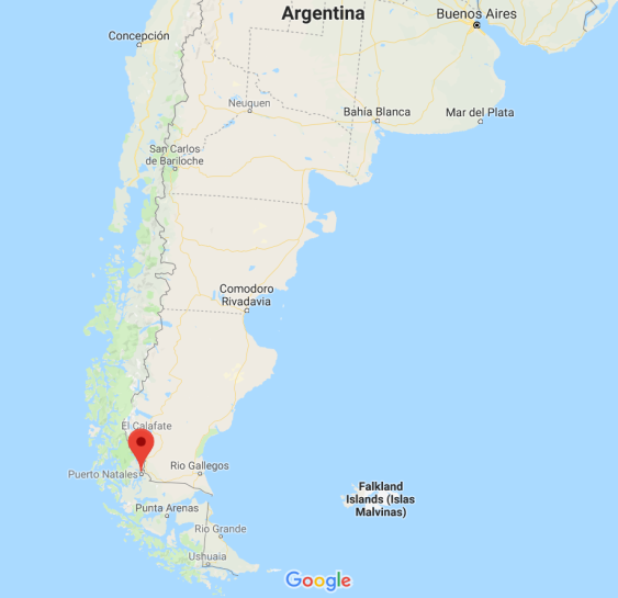
In the part of Chile and Argentina we are headed to, we can count on the opposite. In fact, just getting there is a severe challenge. Here’s some examples of the approximate logistics we’ll be facing on our travel hops, assuming we fly by way of Miami and Santiago, Chile:
- RDU to Miami (plane, 2 1/2 hours)
- Miami to Santiago, Chile (plane, 8 hours)
- Santiago to Punta Arenas (plane, 3 1/2 hours)
- Punta Arenas to Puerto Natales (Bus, 3-4 hours)
- Puerto Natales to Torres Del Paine NP (Bus, 3-4 hours)
…and that’s just to get to Torres Del Paine. To get to Los Glacier’s NP is yet another 8-9 hours further away by bus. 🙁
We’re going to rack up some serious miles, and serious hours travelling. Minister of Expedition Planning believes it will require two full days and maybe part of a third to reach Puerto Natales, the typical jumping off point of the ‘W’ hike.
The remoteness of this area cannot be understated. Punta Arenas is almost the southernmost point of South America; it lies right on the Straights of Magellan. And the parks are more remote still. This isolated place is over 1,800 miles from Santiago, Chile’s capital…further than Raleigh is from Denver. And Santiago itself is nearly five thousand miles away.
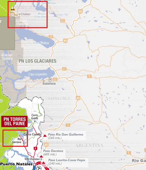
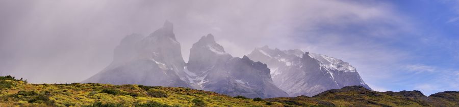
Our plan, as stated previously, is to hike the abbreviated version of the Torres Del Paine circuit known as the ‘W’. Look at the map below if you want to understand why.
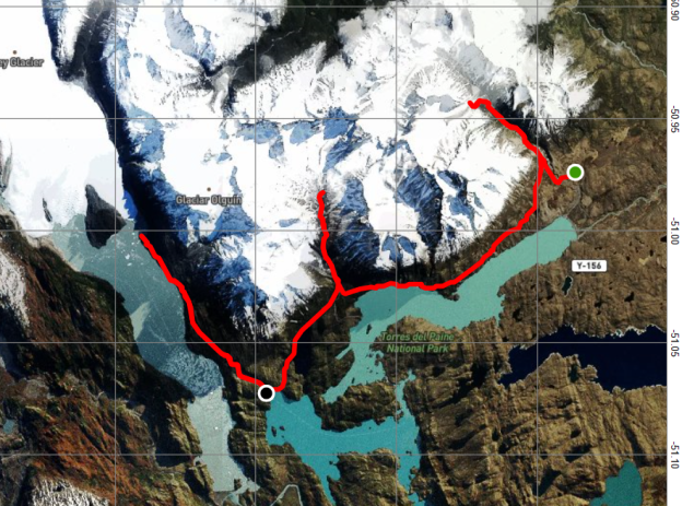
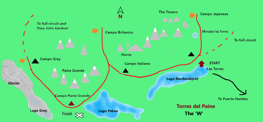
The ‘W’ is one of the world’s most popular hikes. Most of the people who come here come for this alone.
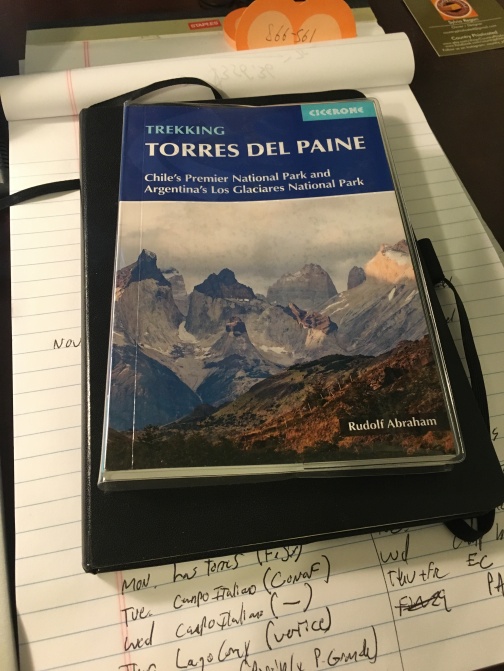
Less popular is Los Glacier’s NP across the border in Argentina. Our intent here is to do the hike described as “Cerro Fitz Roy and Cerro Torre” by guidebook author Rudolph Abraham, whose book we will be following quite closely. This is sometimes known as “Around Fitz Roy.”
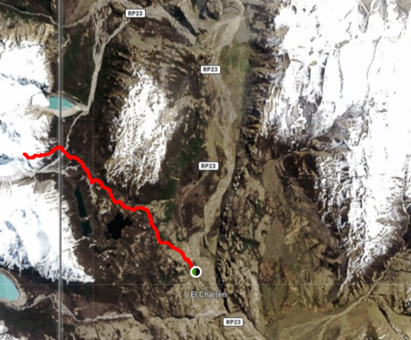
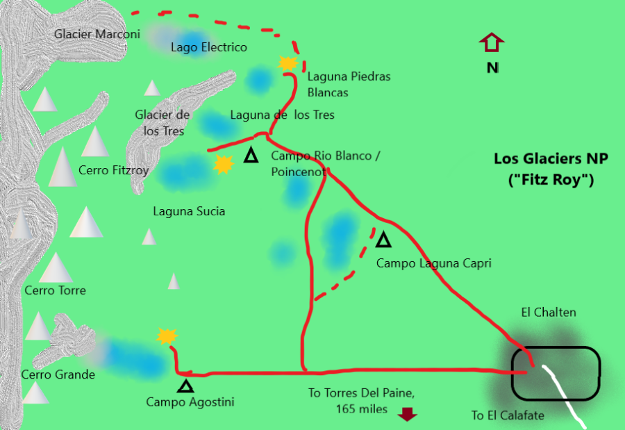

However, we are not entirely committed to this itinerary. There are indeed many hikes possible right out of the town of El Chalten; we may play this one by ear.
The logistical challenges do not by any means end with the travel. Reservations in Paine NP are notoriously difficult to make; three concessionaires control the parks refugios and campsites, and all of them use their own systems for bookings. The immense popularity of the hike makes bookings in peak season mandatory. This is a tightly controlled hike.
Los Glaciers should be easier to manage, but still, we have it on good authority that the town of El Chalten has grown immensely in popularity. It is a hikers Mecca.
And once these challenges are out of the way there is challenge of the hikes themselves. Patagonia has some of the worst weather in the world; we expect high winds, rain, sleet and maybe snow.
We’ll cover some of the other logistical challenges in our next post.
Up Next: Patagonia (or Bust): Staying There