We Expand the Blog With Trail Maps!
Today’s subject is trail mapping apps in particular. But first, let’s digress for a bit and discuss maps in general.
Back in Brian’s days as a hiker in the White Mountains, he never left home without one of his set of excellent maps published by the Appalachian Mountain Club. In fact, he studied up on each hike beforehand using his AMC White Mountain Guide. To this day, this wonderful guide is Brian’s all-time favorite hiking related book; he could read it all over again cover to cover for its wonderful descriptions of the trails, the mountains themselves and the history of the White Mountains region.
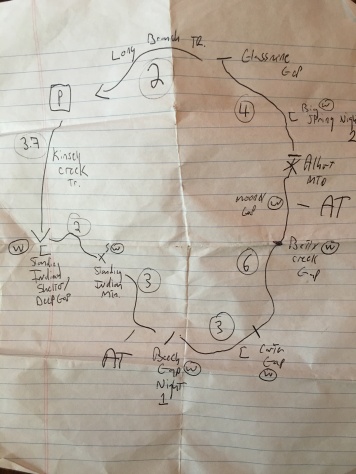
Here is the actual field copy he used back in the 1990s…the paper maps are the originals that came with the book, but he had his own separately purchased weather proof copies he took with him on each hike.
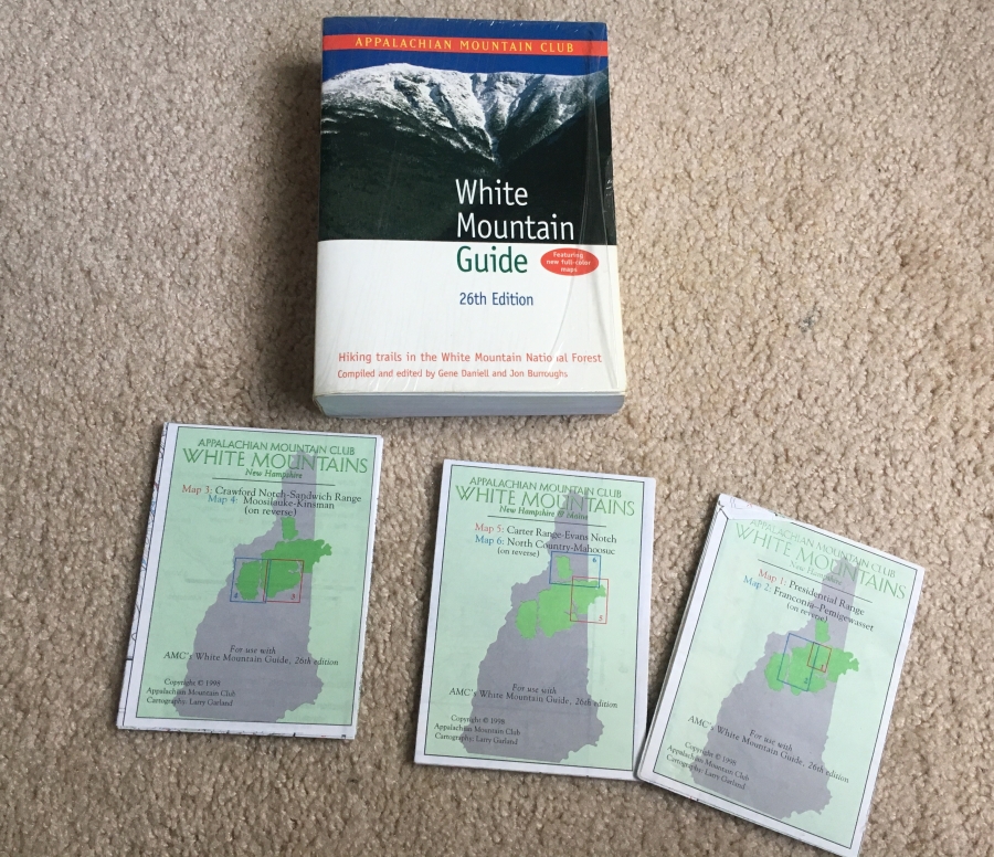
The AMC isn’t the big presence here in the South that it is in the North. We have an AMC guide for the Southern Appalachians, but it’s simply not as good as the White Mountain Guide.
This is all a lead-in to the subject of maps. For some time, we’ve been meaning to start regularly using a mobile trail mapping app with the idea of incorporating it into the blog. Part of the reason we have put this off so long is Expedition Cartographer Brian’s traditional suspicion of any new technology, which he considers to be the work of the devil (this despite, or maybe even because, of his two decades plus as an IT professional.)


However, there comes a time when even an old dog must accept that there is something to be said for new tricks. With all the usual caveats about not becoming overly dependent on technology, there is still no arguing with the fact that the ability determine exactly where you are on a map using a lightweight device is quite handy.
In fact, we could make an argument that a mobile phone could be regarded as one of the most important pieces of gear a hiker can carry. Consider…Assuming it works, a mobile device can:
- Allow you to call for help
- Serve as a beacon leading rescuers directly to you
- Allow you to stay in touch with friends and loved ones
- Find and make bookings on the fly
- Arrange a ride at the trail head (if its not too remote)
- Take the place of ALL the following devices, which individually were often quite heavy and took up space…GPS, camera, camcorder, tape recorder, weather radio, music box, journal, flashlight, compass, map, altimeter, thermostat, guide book, even a credit card
That is a TON of utility for something about the same size as and weight as a wallet.
The operative phrase here is…when it works. All mobile technologies, even those that get signals via satellite, are prone to gaps in coverage. There are simply going to be some places they will refuse to work, and this is especially true in remote areas. They are also slave to power, which can be hard to come by in many areas. Even if the juice is flowing you need an available power outlet, not always easy to find.
The reliability of mobile phones has greatly improved of late, but still, they can be operationally unstable at times, picking bad times to freeze or reboot or decide to launch an upgrade. And they don’t operate well in extreme conditions such as cold, windy mountain tops or monsoon rains.
Of course, the same can be said about almost any piece of gear…everything works when it works. Tents, sleeping bags, stoves and such only work in the conditions they were designed to work in. You wouldn’t have any success trying to set up a tent on a windy mountaintop, you wouldn’t try to set up a stove and cook in a downpour. Sometimes the fact that something represents state of the art technology gives us the illusion that it’s both continuously available and fool proof, when in fact the opposite is true.
But the bottom line is, a mobile phone can come in darned handy in a lot of situations.
One of them is trying to figure out where you are. Over the years Brian has resorted to some rather ingenious, some (himself mostly) would say brilliant, methods of doing this. However, there have also been some high profile failures.
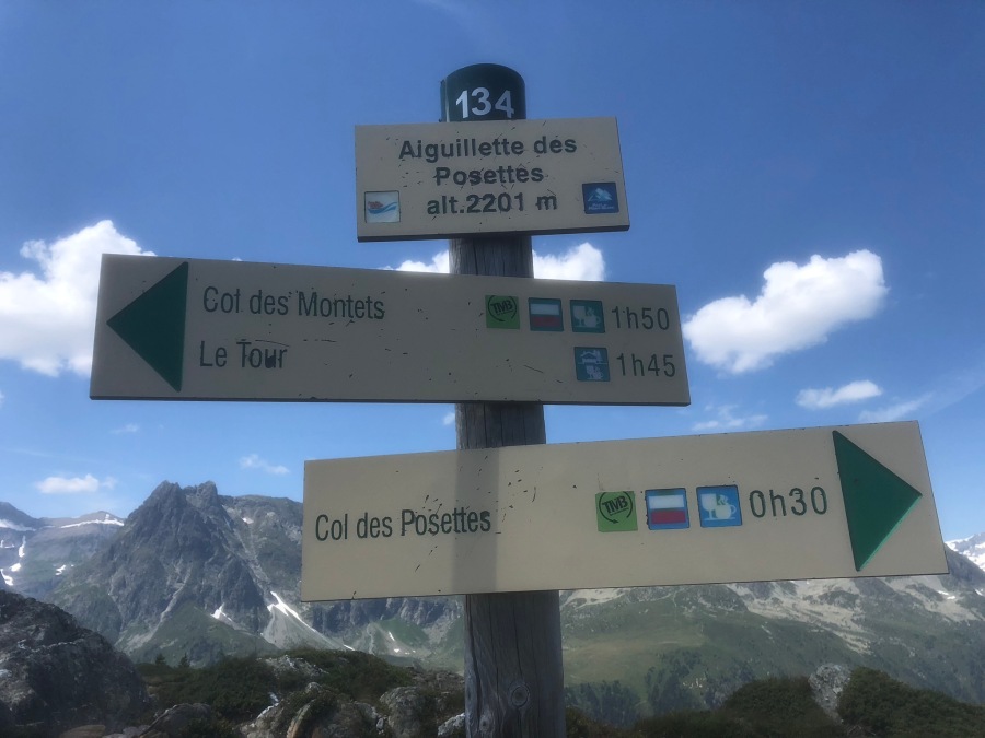
When we embarked on the Tour du Mont Blanc last year, Brian had originally planned to use AllTrails, a popular trail mapping app, to guide the expedition. This turned out to be somewhat of a flop; he’d had little experience using the app prior to the Tour, and by the time he figured out what he was doing it was too late. Problems with his antiquated steam-powered Iphone made it virtually impossible to use the app anywhere but in a spot with wi-fi access, and even then, only in a limited away.
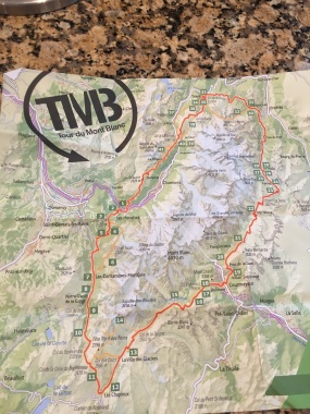
We ended up relying on our guide book and paper maps. We got through, but there were at least four occasions where we wished we had an interactive map with us.

Brian has however worked out most of the bugs and we are now routinely using mapping apps. We used the recently for our hikes in Elk Knob and Mount Jefferson.

We plan on adding maps from AllTrails into some of our featured hikes, such as the Alum Cave Trail, Mt. Cammerer and Old Rag. We also might experiment with some other trail mapping software. I have heard good things about Gaia, Peakfinder, ViewRanger and CalTopo.
Note that we are NOT affiliated with any of these brands and our usage of them is not a direct endorsement. We do however wish to give credit to the mapping companies for the use of images of their media in our blog. We intend to pass on any advice we have as we learn.
Stay safe (and found!) We hope you all have a Mappy Hike!