Rocky Mountain National Park IV: Trail Ridge Road
***Warning this post has a whole ton of photos and may load slowly.***
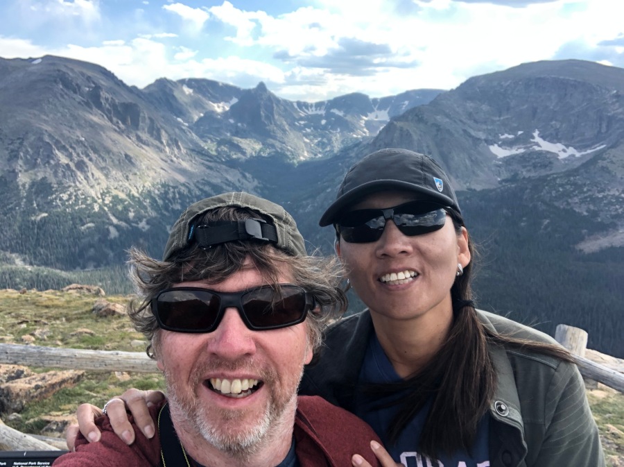
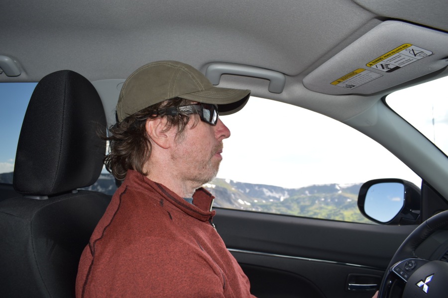
After our horseback riding adventures at Moraine Park, we had to high tail it out of Dodge before the sun quit. We had many miles to cover before we reached our next destination — the ski resort of Vail, CO.
To the high country! That way! (No, up a little.)
Thanks to some improvisation, we had managed a fairly restful nights sleep despite Brian’s folly of forgetting our Thermarests. In a rare moment of inspiration, Brian recalled a Survivorman episode where Les Stroud was playing the part of a motorist stranded in (of all places) Colorado in winter. Brian recalled Les cannibalizing his rented car for useful items, including the floor mats — which he used as blankets to ‘keep his kidneys warm’ at night.
Well, if floor mats could keep kidneys warm, so Brian reasoned, they should be able to keep a tent camper some distance off the hard pebbly ground. The floor mats were indeed pulled from our rental car and thrust experimentally under our tent. The effect was surprisingly good — at least we had something to cushion our upper bodies. Never say you can’t learn anything from television.
(This was especially useful because somewhere in the tossing and turning, Brian had managed to roll over onto his fist and bruised his ribs. An unfortunate accident. Damn that Blucifer!)
Though there are shorter routes from Estes Park to Vail, we decided to take the scenic one. In fact, many would call this the most scenic route in the entire United States.
But first, we must say a word or two about Estes Park, Colorado. To some it is one of the worst, most congested, most overrated, most overdeveloped, and least attractive gateway cities to a National Park in America.
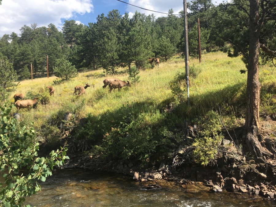
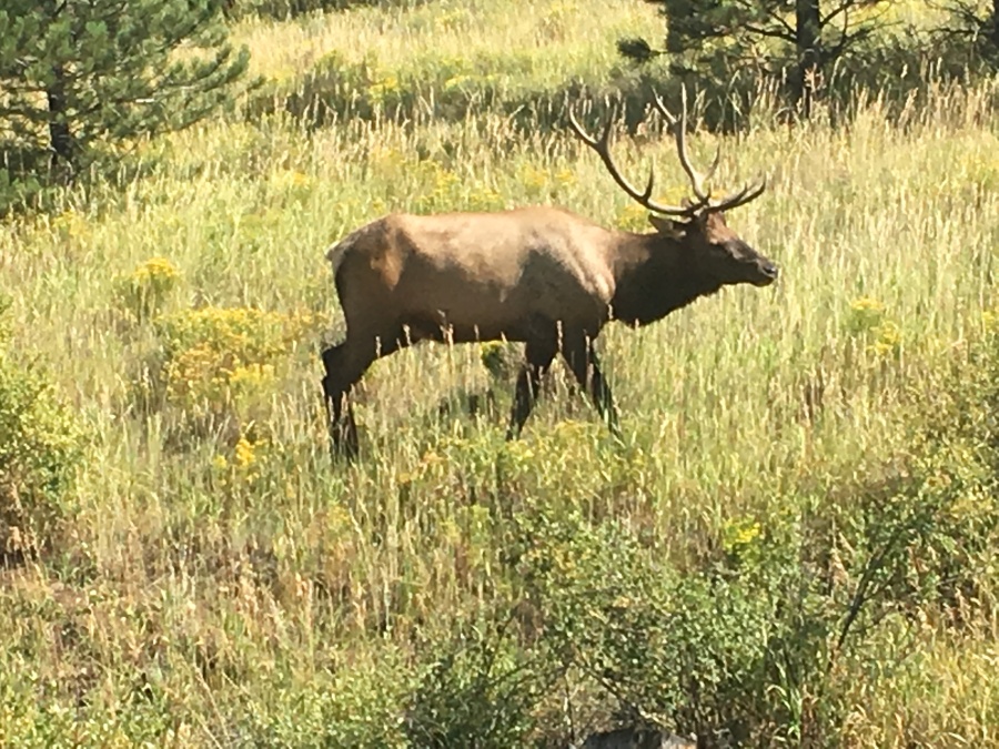
Those people apparently have not seen the wretched hive of scum and villainy known as Gatlinburg, TN. Gatlinburg sets the industry standard for abominations of the tourist industry; Estes Park isn’t even in the same league. In fact, while we found it to be admittedly a little overdeveloped and touristy, much of it was also quite charming, relaxing and nice. Where else can you see an entire herd of Elk in the downtown, right at a traffic intersection?
The obvious leader of this pack.
Now, one caveat about this…we visited Estes Park in the closing weeks of August as the tourist season is past peak, but before the final labor day rush. A lot of kids are now back in school by mid August, and families have adjusted their travel plans accordingly. If you visited on Independence Day weekend or Labor Day weekend, your thoughts on this might be totally different. But Sylvia and Brian actually liked Estes Park, and for Brian to give a stamp of approval to a tourist destination says a great deal. The list of places that are Dead to Brian is already long and growing.
One place in Estes Park that most people seem to have taken a Shine to is this one…
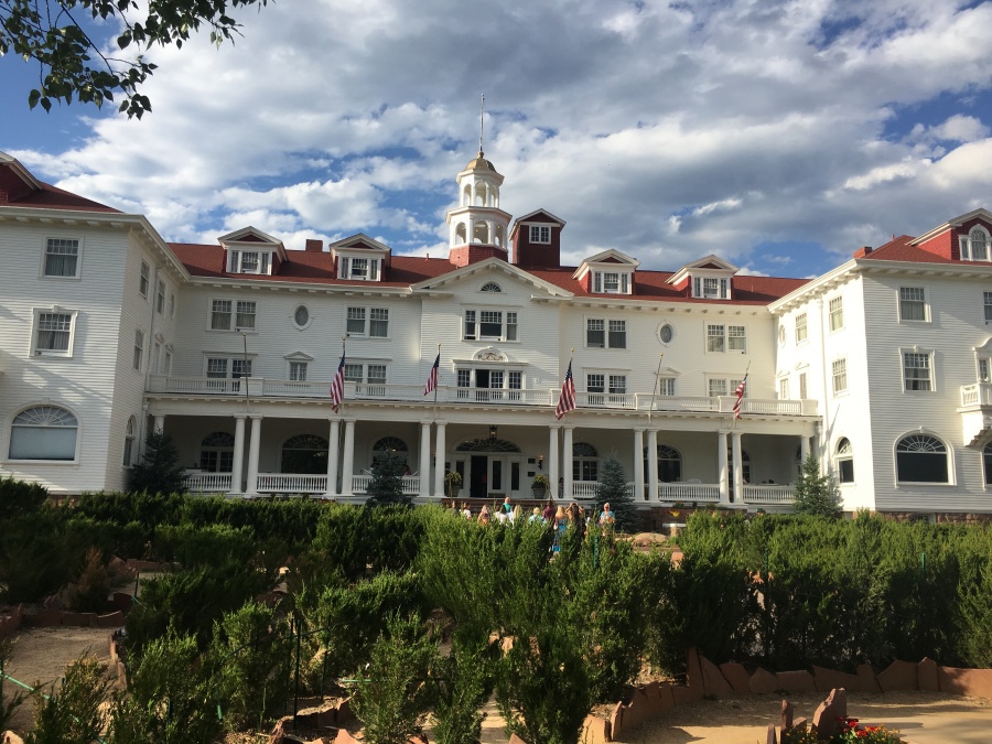
…Which of course is where the indoor scenes from the romantic comedy classic The Shining were filmed. (The outdoor scenes were filmed at Glacier National Park and Mount Hood, by the way.) Brian and Sylvia pronounced the lodge a disappointment; but not a big one to Brian since he wasn’t expecting much.
At one time in its history the Stanley Hotel was probably an impressive place, just as at one point of his life Willie Mays was an impressive ballplayer; but that was long ago. It was probably a lot cooler before they built the shopping plaza next door, and the ‘hedge maze’ that exists today for the tourists looks like it was assembled from potted ferns trucked in from Home Depot. We took some obligatory pictures and got the hell out fast.
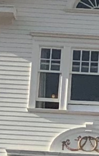
(Note that after reviewing the photographs our resident expert on the paranormal, nephew Mikey, spotted a ‘ghost’ in one of the windows. Brian is surprised to learn that ghosts look like window decals…but here’s the picture you can judge for yourself.)
Trail Ridge Road
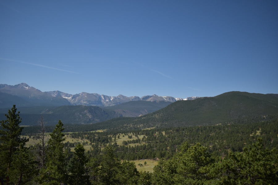
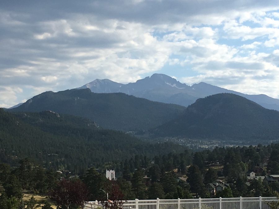
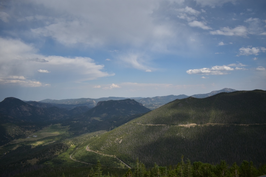
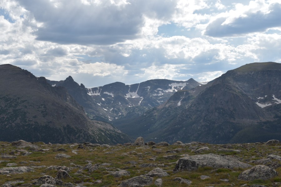
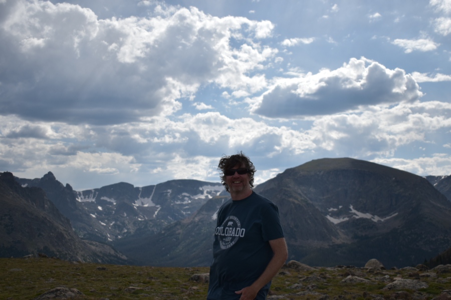
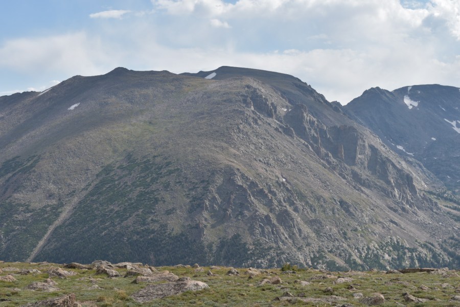
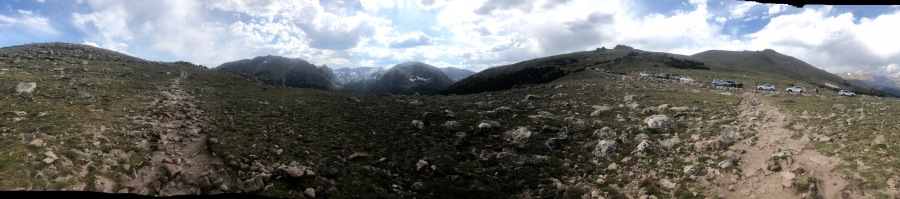
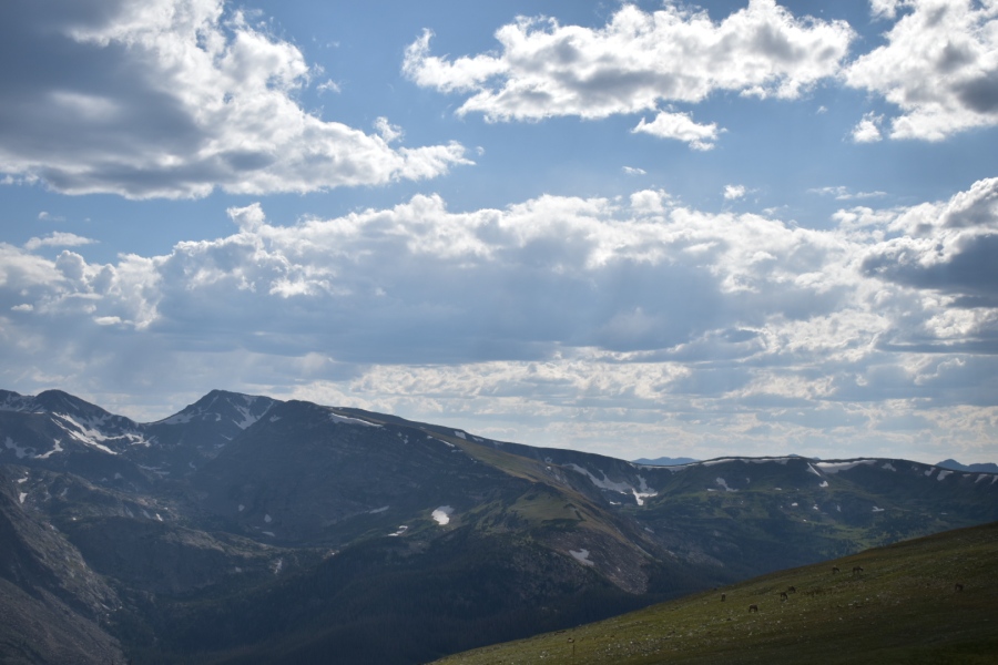
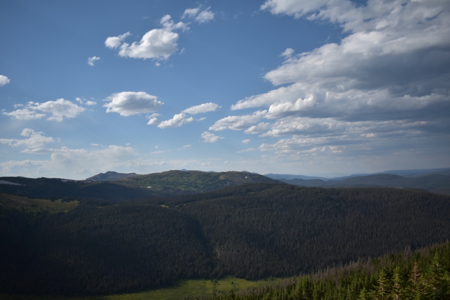
Far more Impressive than the shabbily haunted Stanley Hotel was Trail Ridge Road. Now this — the Park’s much ballyhooed ‘Highway to the Sky” — is worth taking a Shine to.
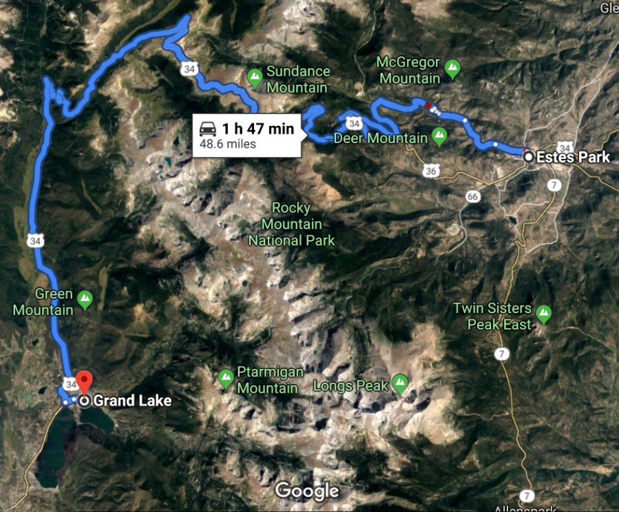
Trail Ridge Road, aka US Highway 34, connects the heavily visited eastern half of the park with the much less visited western half. It’s the only east-west corridor in the park for automobiles…and in fact, it’s the ONLY road through the entire Front Range between Denver and Fort Collins. To make a loop of this road, motorists would have to drive all the way South to I-70 and return to Estes Park via the metro-Denver area.
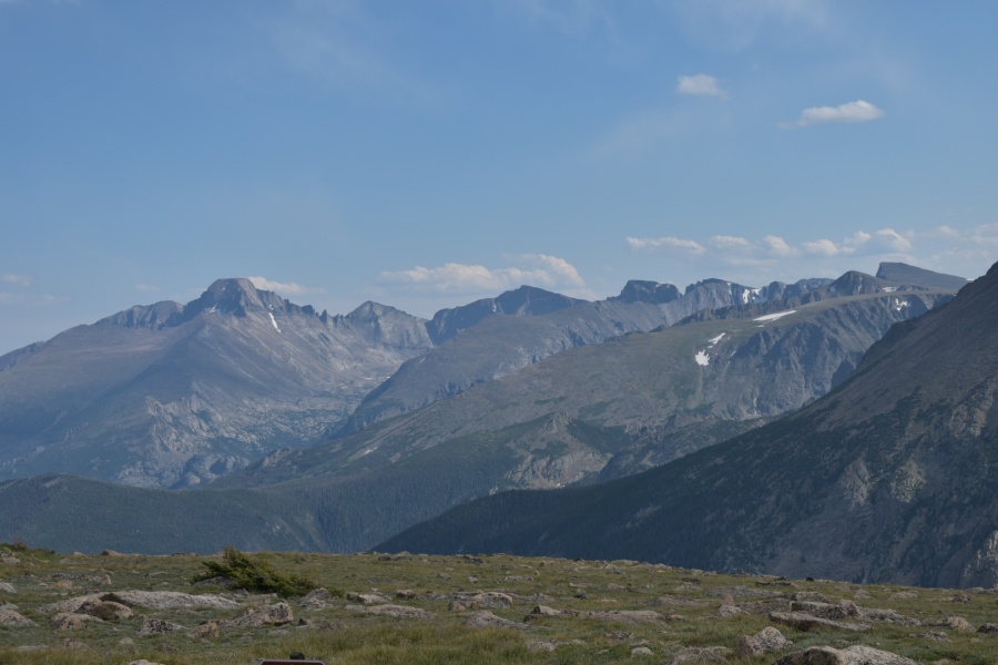
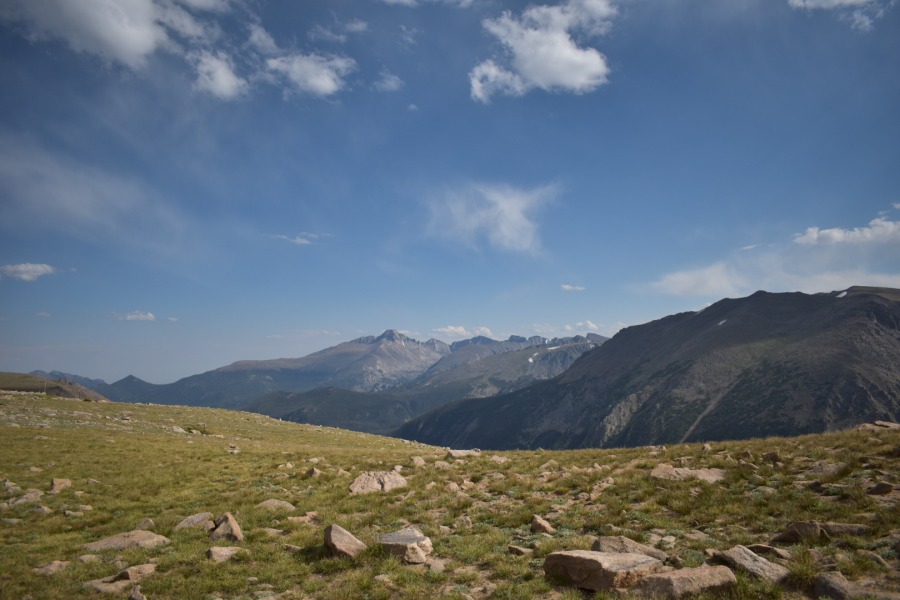
Trail Ridge Road features 11 miles of open above timberline driving, reaching a height of 12,183 feet making it almost unique in the united states. A few roads do go higher — the road to the top of Pikes Peak does — but most of these aren’t thru roads. One that IS a thru-road, sort of, is the Mount Evans Scenic Byway, also located in Colorado. Drive this one at your own risk — calling it a ‘paved road’ is almost hopeless flattery.
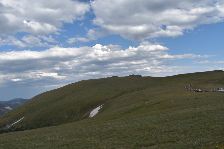
Though this road dates from an era in history when access to the landscape took precedence over preserving it, the NPS took great pains to ensure Trail Ridge Road blended in as well as possible with the landscape. It’s also entirely safe to drive, at least in good weather. And a good many do drive it.

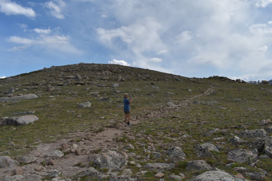
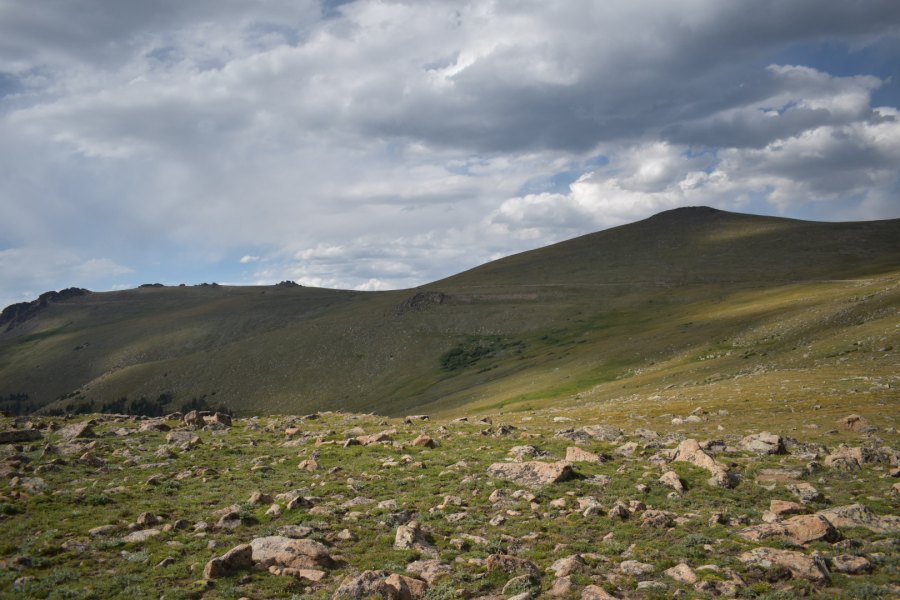
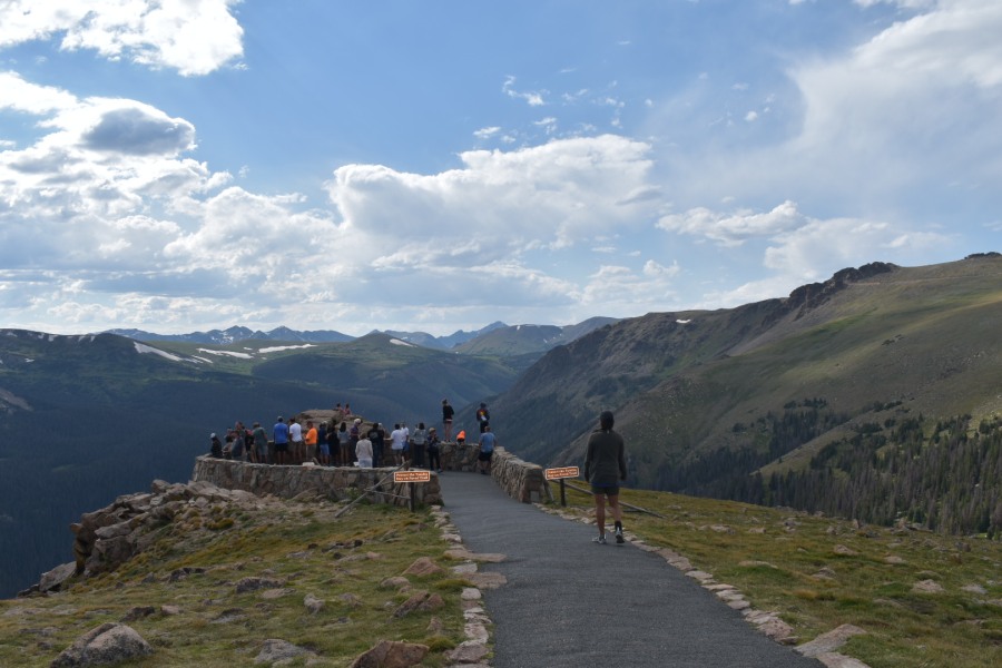
For many (actually most) people, this is the ONLY way they will ever enter the extraordinary alpine zone. Most people are happy seeing it, snapping a few pictures and driving away. And maybe that’s a good thing; some of course can’t do such a hike, and maybe it’s better than most of the rest don’t either. The trails will stay less crowded and the mountain rescue teams will have some chance to rest.
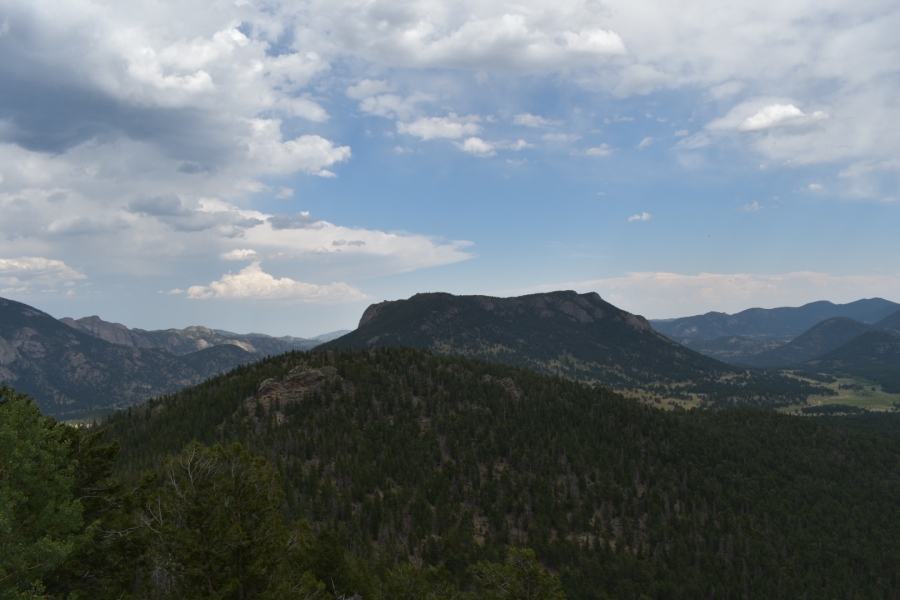
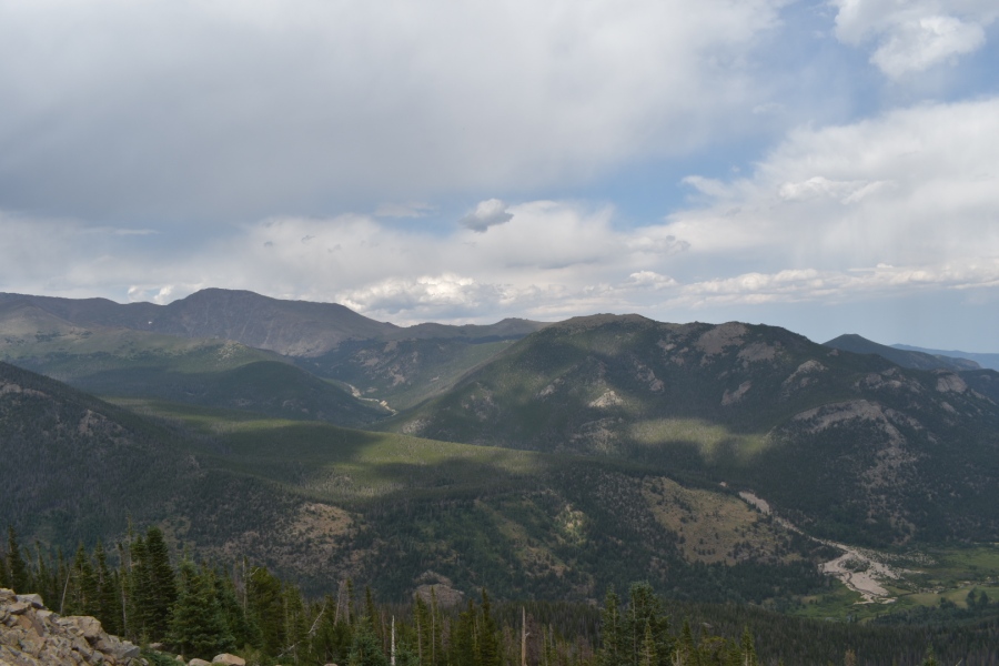
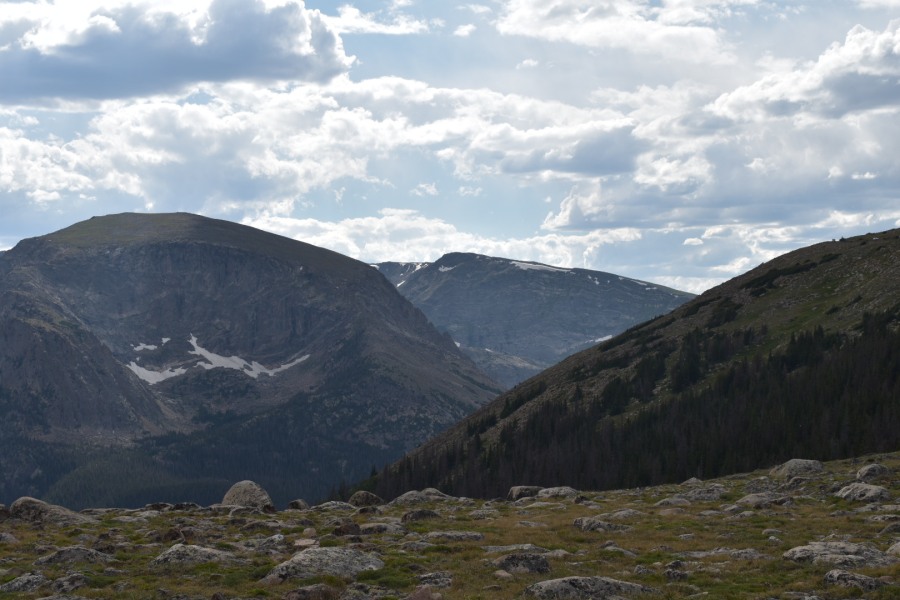
The views from this road are impressive. Brian has driven other great roads before — the Mount Washington Auto Road, the Going to the Sun Road, Hurricane Ridge in Olympic National Park, the main roads through Kings and Zion Canyon…none of them beat this one. The only road we have ever seen that MAY in fact beat this one is the Portachuelo de Llanganuco, which is the entry/exit point for the Santa Cruz Trek in Peru. Both these roads get WAY up there.
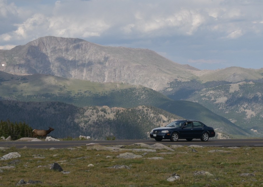
Even this high up, there are a lot of elk. In fact we were told that during the summer months, the elk keep to the high slopes, and only begin to make their way down to the valleys as fall, and the rut, approach.
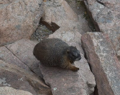
Marmots were also in abundance.
But the most common critter on this trail by far were homo sapiens. Don’t count on having this road to yourself, and expect lots of slow gawking drivers, crowds milling at the pullouts, and quite possibly construction equipment.
We were in fact stopped for over 20 minutes by a delay caused by road construction, which is not at all uncommon here. The road is also lined with tall wooden poles, which are likely used to mark the roadway during heavy snows (Trail Ridge Road is closed in winter.) The poles are 6-8 feet high at lower elevations; on the high ridges, they are sometimes over 25 feet tall, proof that this place gets absolutely dumped on in the winter.
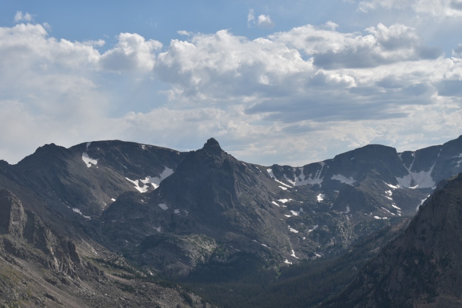

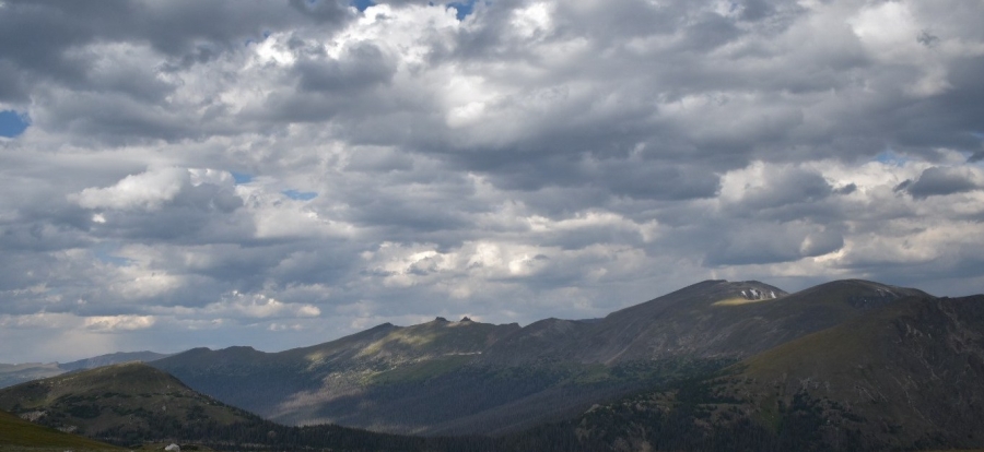
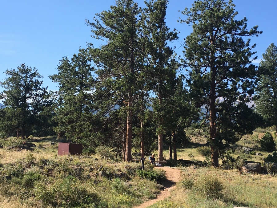
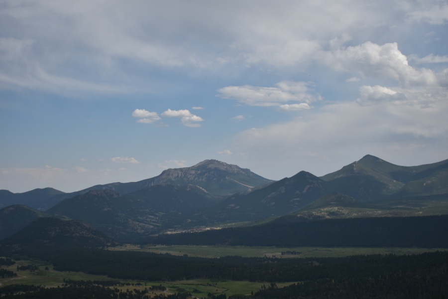
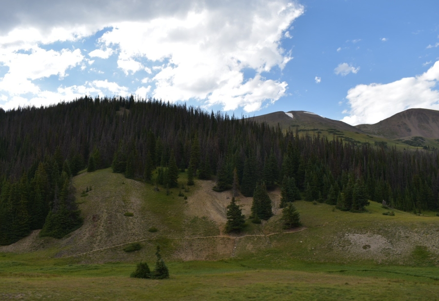
After the ‘Medicine Bow Curve’ (with views into the aforementioned mountains 35 miles to the north in Wyoming) the road heads down quickly into wooded country. Less views here on the western side of the park, but less crowds too.
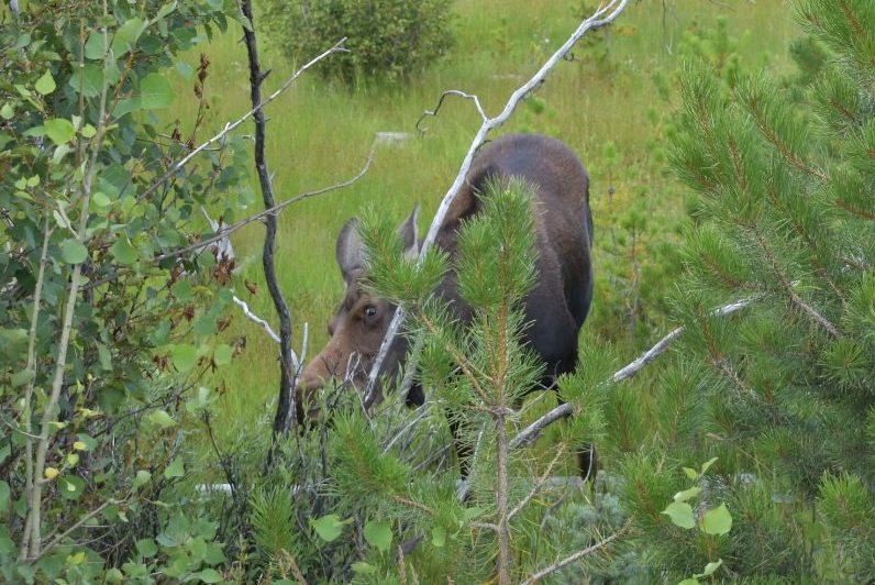
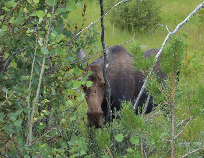
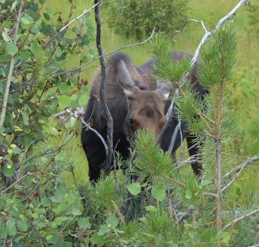
Also, here in this boggy upland country drained by the newborn Colorado River, is an opportunity to see moose. Sylvia was in fact able to see her first moose near the western gate of the park. After Brian having built her up to it (and having seen the botched moose hunt scene from Into the Wild) Sylvia was expecting to be quite horrified. In fact, the moose we saw (a young cow) was neither particularly big nor particularly ugly, nothing compared to the absolute brutes Brian has seen in his travels in northern Maine and New Hampshire. She pronounced this a ‘nice moose’ and we went happily on our way.
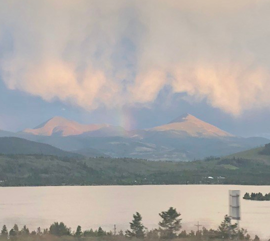
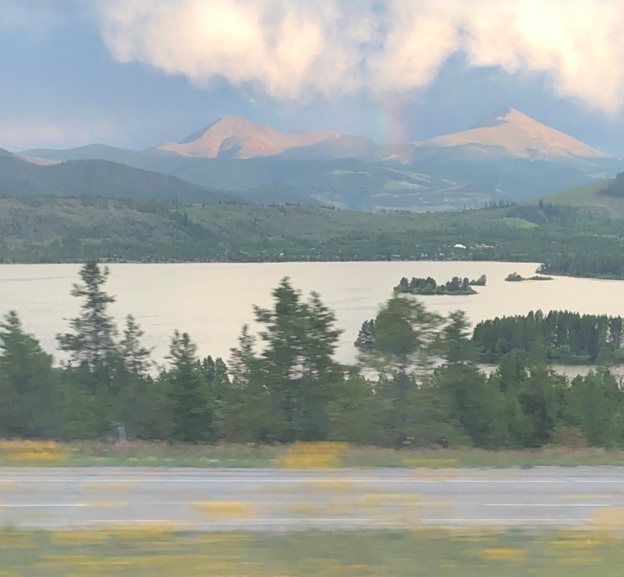
After leaving the park we proceeded south to Granby, picked up the east-west route of US 40, took this to Kremmling, then went south on little trafficked State Highway 9 to the SKi Resort of Silverthorne, where we picked up I-70 just as the weary sun set. From there it was just a thirty minute drive west to Vail. This is an extraordinary drive that we would urge anyone to do just because it’s there…much of the route follows either the Colorado River or the Blue River, one of its tributaries, passing through the Arapaho, Roosevelt and White River National Forests.
Canyons emerge into foothills, big mountain ranges materialize from the far distance and edge closer until they dominate the sky, then fall behind to reveal yet more mountains. To see this in the soft light of late afternoon was a tremendous experience…one can only imagine the miles of amazing hiking hidden back in that lofty wild country.
At the conclusion of our drive we finally crested ten thousand foot Vail Pass on bumpy I-70. There we saw before us the storied ski hamlet and money vacuum of Vail, Colorado — and its snow-free slopes of high August grass. This was Sylvia’s major ask on this trip. Out of the mountains we went, and down into the fu-fu.
And it doesn’t get much more fu than this.