Elk Knob State Park Summit Trail is Fitz Roy’s First Mountain Hike
*We have added Elk Knob State Park as one of the Best Places to Hike in the Southern Appalachians. This is truly an excellent hike for everybody; a very well graded trail, excellent viewpoints, and not too crowded (yet.)
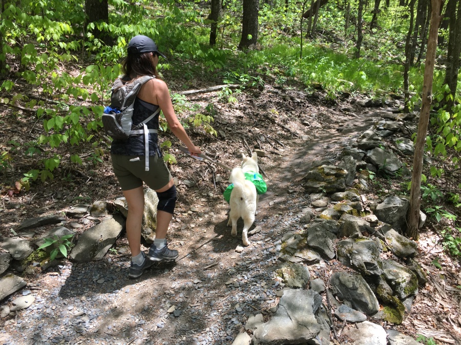
Last weekend Minister of Expedition Planning Brian broke down and, at the assistance of Sylvia, allowed future sled team captain Fitz Roy to accompany the team on one of our mountain excursions to the western part of the state.
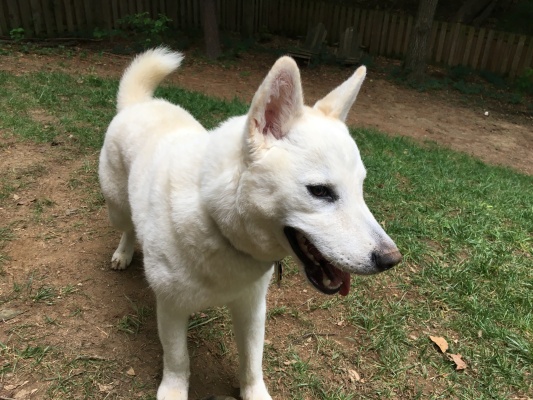
Brian has been reluctant to thrust Fitz Roy into the action too soon…not because he isn’t read for the mountains. He was bred for the mountains and the outdoors, being part husky and part shiba inu. Rather the concern has been that, with his excitable temperament, he would have difficultly handling encounters with other people and dogs that he might chance to meet.
There’s very little room for maneuver on mountain trails, and we have both been concerned that a sudden move by Fitz could result in injury to himself, another dog or person, or whoever happens to be handling him. Most trails are busy on weekends, and dogs are not at all unusual.
But Sylvia has been pestering Brian with almost daily reports of Fitz’s steady improvement in this area. There is no doubt he has improved, and we can now calm him down in most situations we can’t avoid. He still has issues dealing with humans with dogs, but only when he is on a leash…but meltdowns these days are rare.
Brian was very encouraged also by Fitz’s abilities as a ‘cash hound.’ Recently on a walk in Wake Forest he sniffed out a dropped $5 bill. His running total is now six dollars.
Who knows what he might find next?
At any rate Brian finally and gave in, and we packed Fitz into the car and went looking for adventure. This trip would take us all the way to the western edge of the state, more than three hours drive from Raleigh.
In fact Elk Knob State Park, near Boone NC, is right on the NC/TN state line.
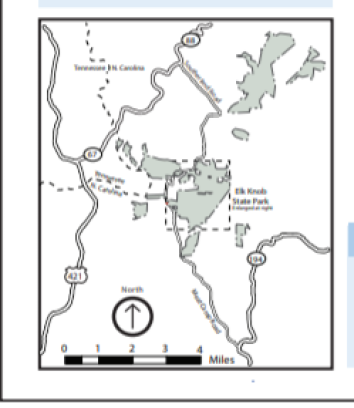
This is a relatively new addition to North Carolina’s already excellent and continually expanding State Park system. Much of this expansion is in the mountain west; we’ve already discussed fantastic Gorges State Park near Sapphire, NC. Elk Knob opened in 2003, but most of the development in the park, which is still pretty crude, has been recent.
One of the main features added recently is a 1.9 mile trail, built with volunteer help, to the summit of the Park’s signature mountain, 5,520 foot Elk Knob. It is this trail that lured us out to the park for a day trip two hundred miles from home.
This trail was completed in 2011 was substantial help of volunteers, and is one of the very best we have seen in this region…well graded all way and still in excellent condition. We though it would be a good choice for dogs, and we weren’t wrong.
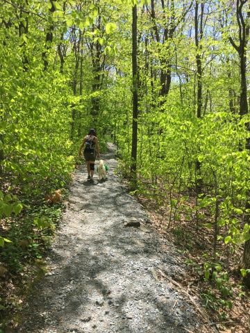
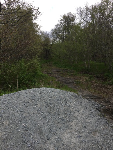
The trail begins from a small parking are just past the park’s still primitive visitor center. Note that there’s no bathroom or water at the trail head, but there is a vault toilet further down the road. Sylvia graded this toilet as ‘satisfactory’ by her exacting standards.
As advertised this is a very well graded trail, still with much of its original gravel surface intact. The placed stones and water bars still look fresh. Reportedly over 6000 person-hours of effort went into this trail and it shows.
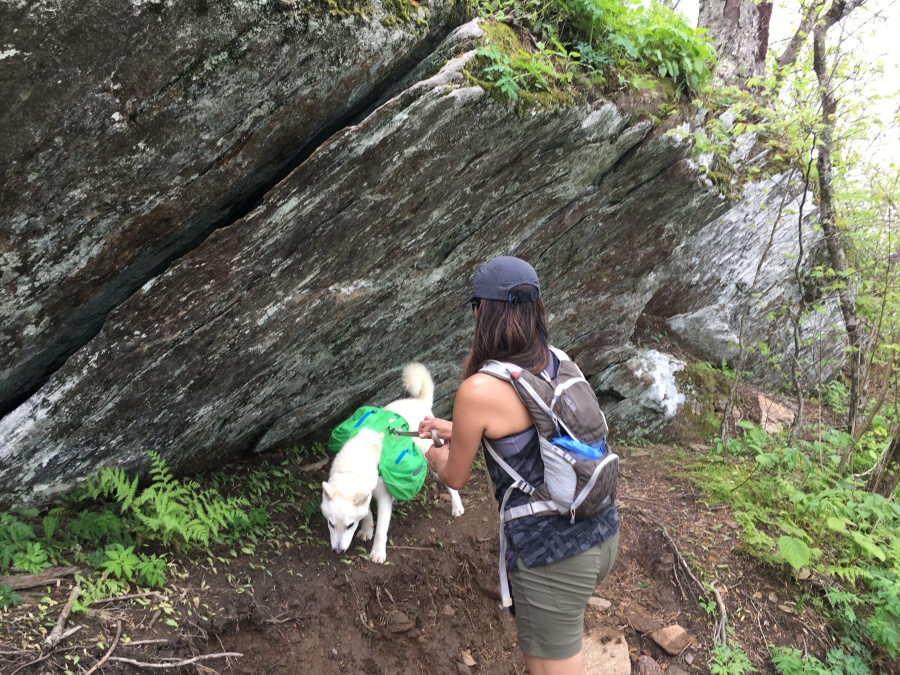
The trail winds up through partially open woods for a good way, several times cutting across the track of a steep, badly eroded old road that was once the primary means of reaching the summit The breaks where the road crossed offered good areas to pull Fit off the trail for water breaks, or to let parties with dogs pass.
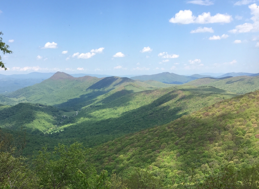
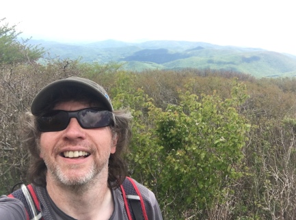
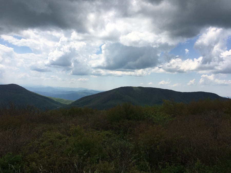
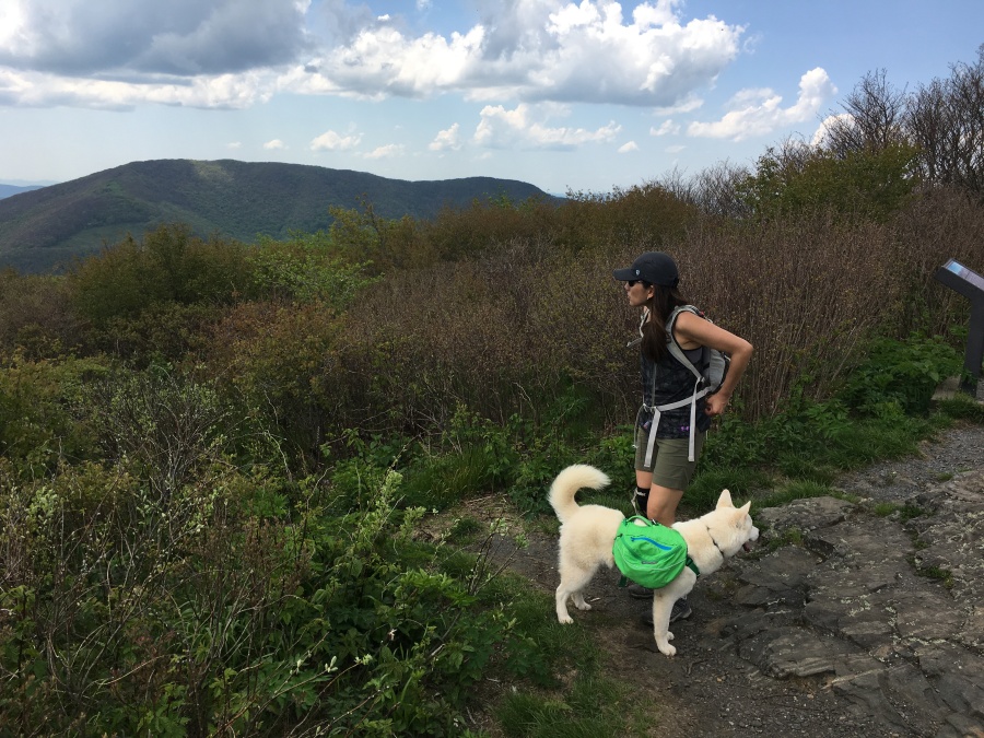
At about the one mile mark the trail turns a corner and here is a viewpoint. And WHAT a viewpoint! We have seen whole trails that don’t have a view HALF this good along the entire route.
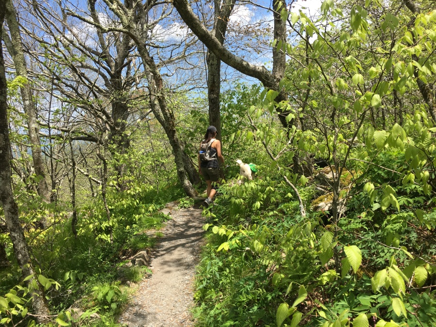
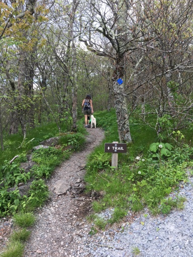
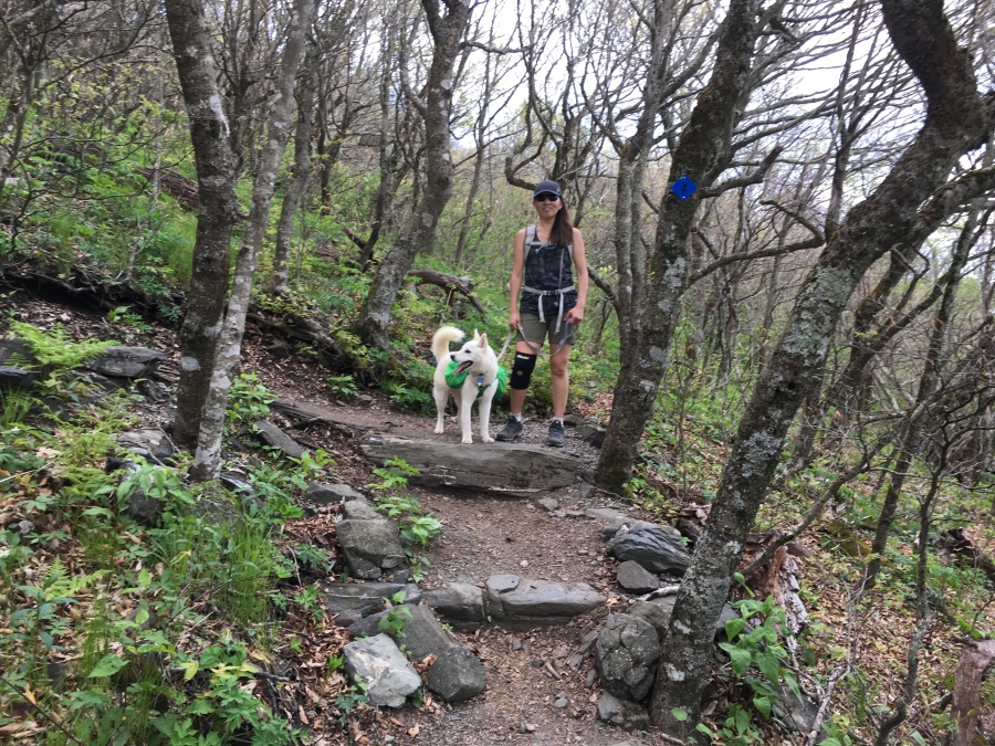
After a short break we continued on…the well-blazed and signed trail, which is impossible to lose anyway (unless one takes a wrong turn onto the steep road) promised us that the true summit was just ahead.
About two two tenths of a mile from the top the trail turns yet another bend and begins to break into the clear. Again, there are mountains called ‘balds’ where THIS would be considered the view.
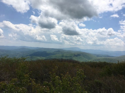
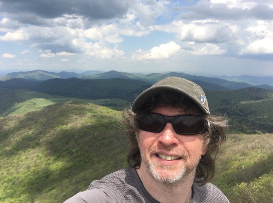
But after a short stairs of well placed stones, the trail breaks out into open sky at a junction. Here you have reached the true summit. A signed fork point the way to two viewpoints, north and south. North is slightly uphill, so we chose that direction first.
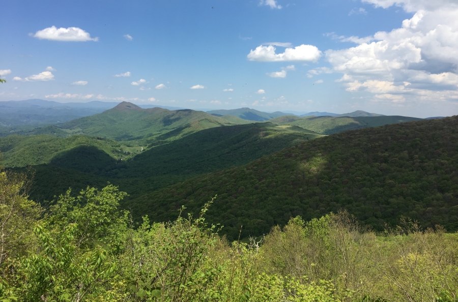
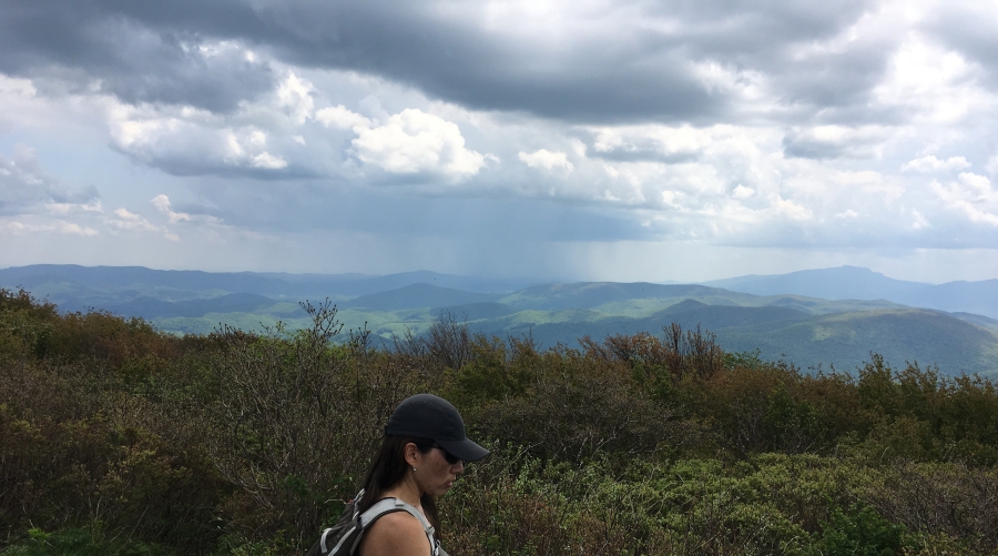
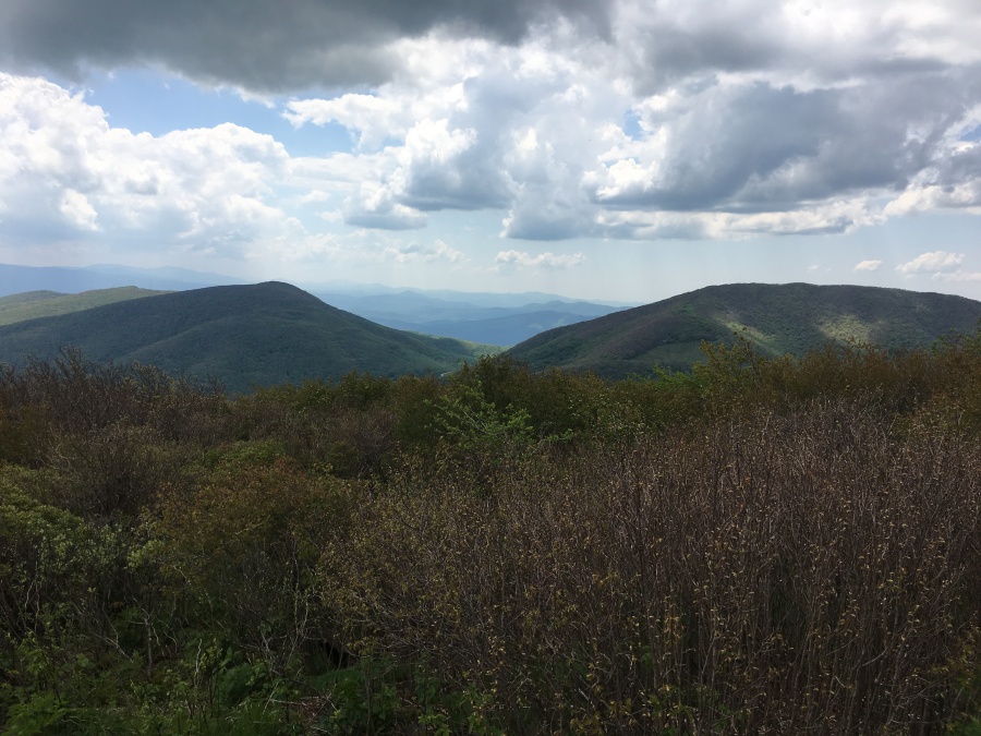
And what a tremendous view this is! At the edge stands a small wooden-railed balcony, and this is what you can see from it…some of the views below are the same but in shifting light…
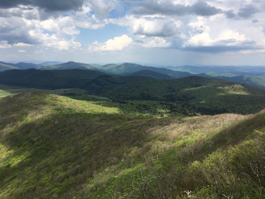
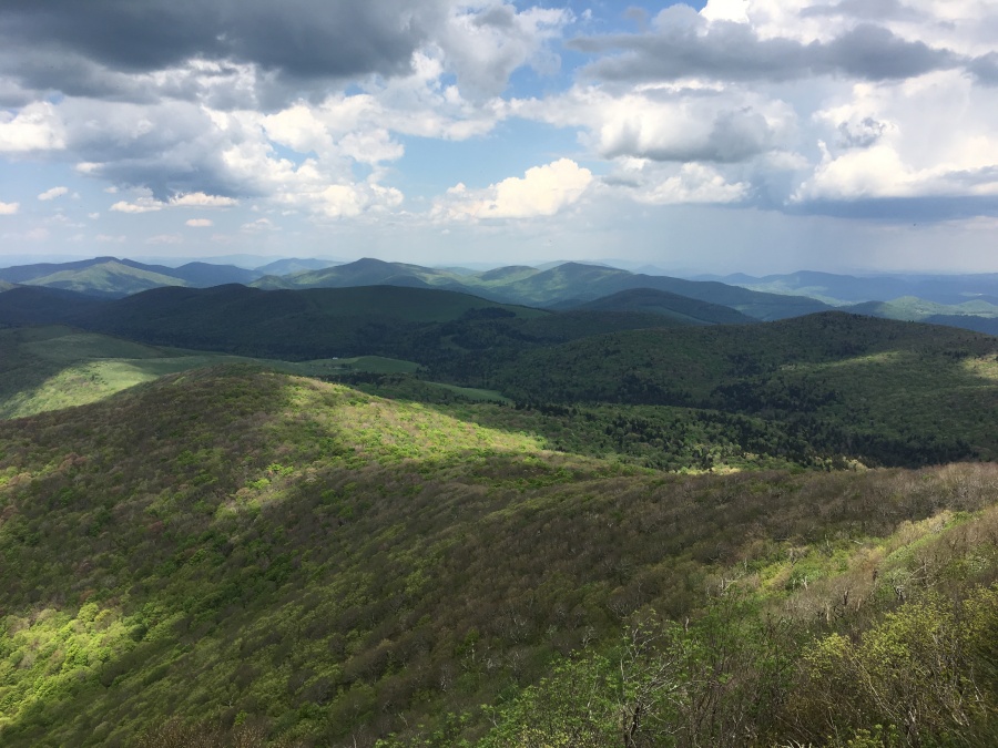
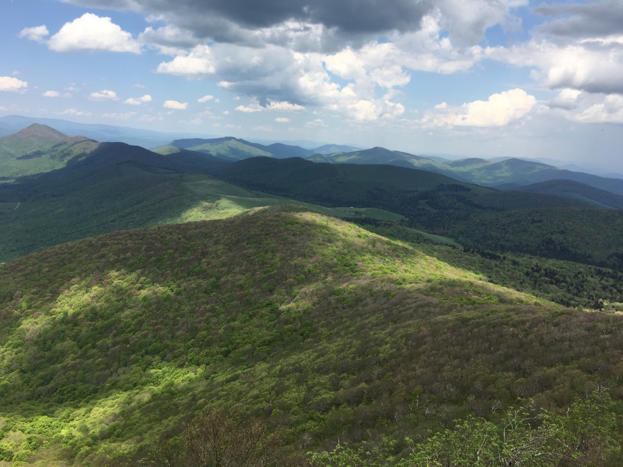
The view, into Northern NC and Southern Virginia, is stupendous. Mt. Rogers and Whitetop Mountain, the two highest points in Virginia, can clearly be seen behind the impressive ridge in the foreground. Closer, but harder to see, is Pilot mountain. The helpful viewing plaque at the summit pronounced this distinctive summit to be 66 miles away and visible on a clear day. Well, this day was not exactly clear, there being some rain clouds out there and some haze…Brian could not make it out from the surrounding ridges.
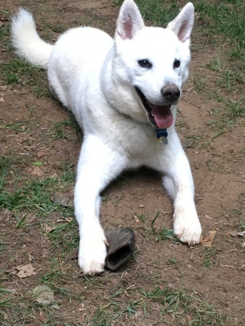
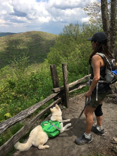
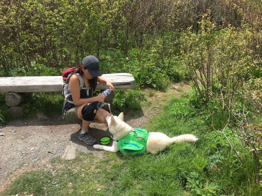
We chatted at the summit for a while with a couple from Charlotte who were hiking with their dog, Ruby. Fitz proceeded to spill his water, make a puddle of mud and to sit down in it like he usually does.
![IMG_0002[3656].jpg](https://becauseitzthere.files.wordpress.com/2019/05/img_00023656.jpg?resize=900%2C673)
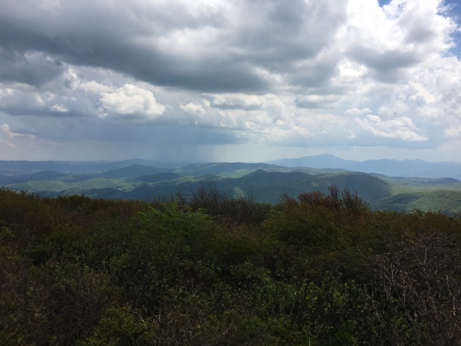
We began to hear thunder in the distance, and could actually see some rain approaching in the distance…good thing we had packed rain gear. But this summit is not place to be caught in a thunderstorm, so after a few minutes we departed.
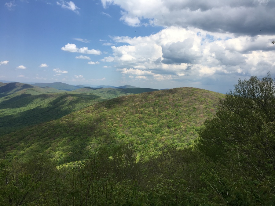
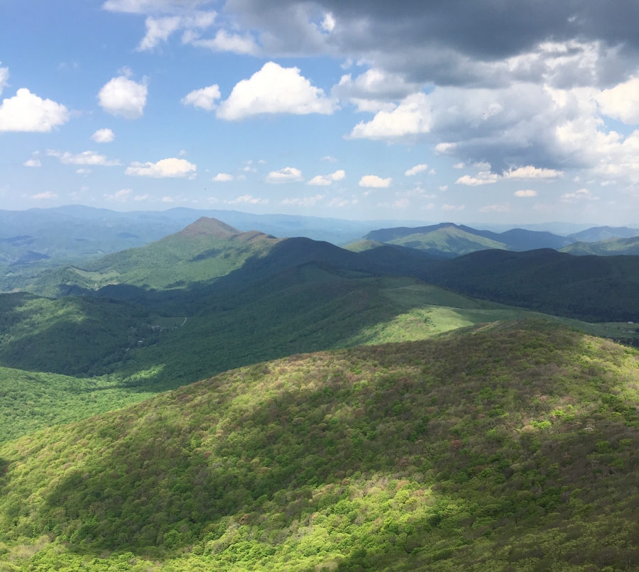
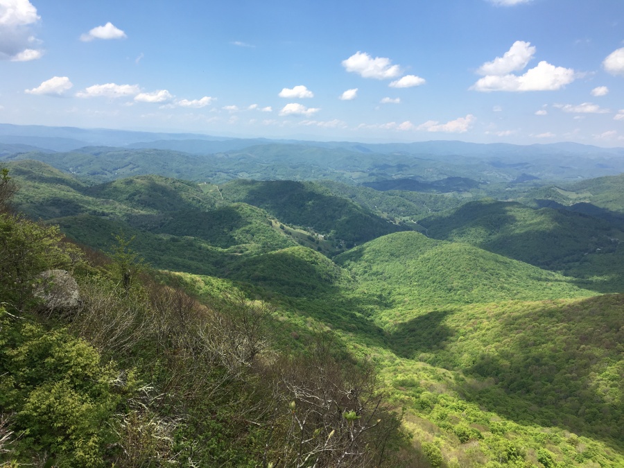
But before making our way back down the main trail, we detoured down the other fork to take in the ‘South’ view. We had been told by a couple of people already that the North view was the better of the two, so we weren’t expecting much.
Actually, though the North view is the grander one, the South view turns out to be quite good too. It’s not quite as dramatic, partially because the land does not drop off like it does directly below the North viewpoint. But it’s actually a more natural and expansive view from a small pile of rocks. It feels more like a real mountaintop.
Many times we have lamented that southern mountaintops, especially so called “balds”, lack a real wild character…it almost seems they have to be helped along by cutting brush or building viewing platforms. Elk Knob’s southern summit seemed a little more ‘our’ kind of summit — the natural, wild kind.
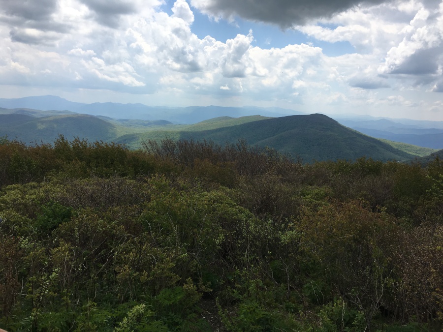
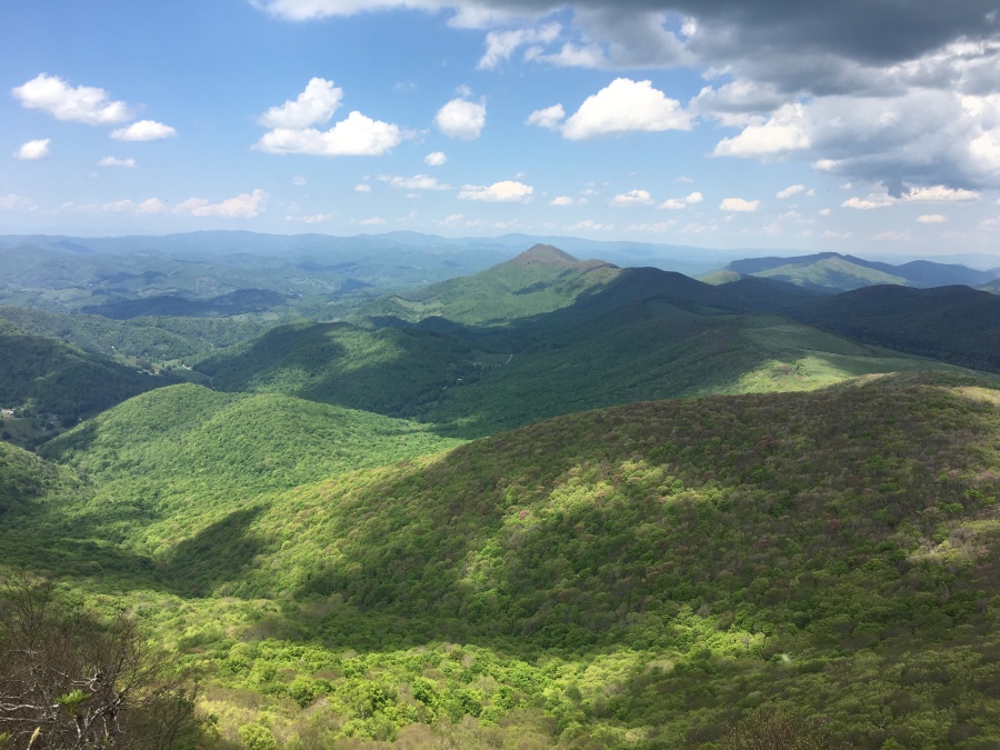
The view hear includes Jefferson Mountain, Grandfather mountain, the Iron Mountains of Tennessee, and more distantly in the haze, Mount Mitchell.
We could only spend a few minutes here before the thunder chased us off the summit. The return to the parking lot on this excellent trail was quite rapid, and we easily beat the weather back to the car (we got a few minutes of rain that ended by the time we reached Boone.)
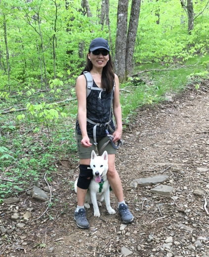
Success! A tired Fitz Roy completed his first major hike, had a great time and was rewarded with a snack chicken nuggets from Chik-Fil-A! Daddy meanwhile rewarded himself with the Number One value meal with Waffle Fries and a Coke.
Elk Knob is easily one of the best hikes we have done recently; its views stack up with almost any mountain we have seen in the state, and are accessed without too much difficultly. This is a good trail for novice hikers, children, older hikers or hikers with dogs.
We hope that the state continues to expand the hiking opportunities in this park. While standing on the summit, we noted a large number of what appeared to be open mountainsides, some quite expansive, in the near distance. We assume these are fields on adjoining private lands. We wonder…could these be acquired by the state and turned into a natural area that could rival the Grayson Highlands of Virginia? We’d have no issues with our tax dollars being used that way.
Our advice is to go out and see Elk Knob now before the word gets out, it is mobbed with hikers and the trail work is eroded. See it today if you can! Fitz had a blast and you will too.
![IMG_0004[3655].jpg](https://becauseitzthere.files.wordpress.com/2019/05/img_00043655.jpg?resize=900%2C673)