The Falls Lake Trail, Raleigh/Durham. NC
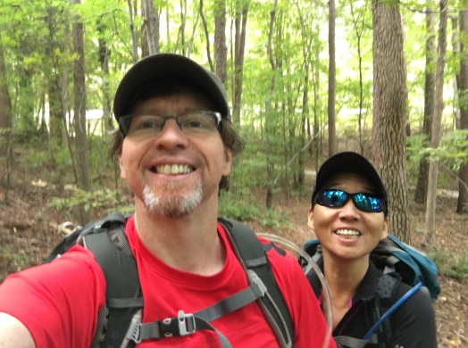
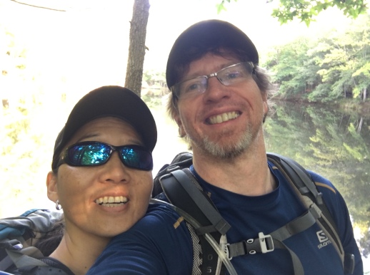
*We had added the Falls Lake Trail to our list of recommended local hikes in the Raleigh/Durham area.. We often train here for the bigger adventures.
Being an outdoors adventurer requires a willingness to travel long distances in search of the great adventures of life. Adventures don’t generally come to you, after all. Especially those in the wild places.
But one should never overlook an opportunity for adventure that is close to home. It would be nearly impossible to maintain hiking form if nothing existed locally to fill in the gaps between out big adventures. That would be a sad situation indeed. And it is often surprising how little distance you need travel to end up in an area most would consider wild.
Sylvia and I are fortunate enough to live in a place that does offer a multitude of these ‘urban oasis’ type areas where one can go on the weekend, on a day off or even before or after work. To hike, bike, exercise or just stroll and relax.
We have already blogged about one of these areas – the newly opened Forest Ridge Park. Today we’ll showcase another…just a mile from our home is the Falls Lake Trail.
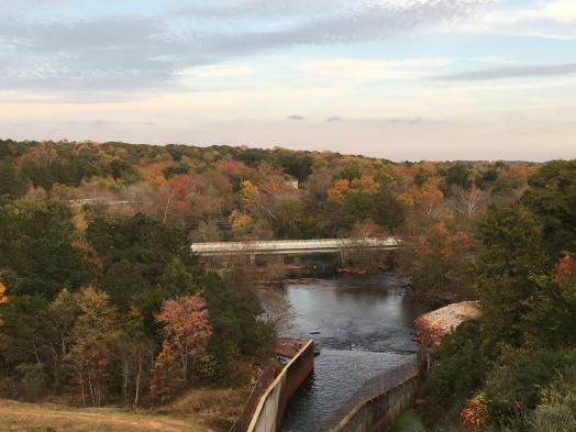
The Falls Lake Trail is approximately 60 miles in length, a very long distance indeed considering that the entire trail is within the boundaries of a major US urban population center (Raleigh/Durham.) The trail takes its name from 12,000 acre Falls Lake, a long and meandering man-made reservoir full of coves, inlets and bays. The lake was created by the damming of the Neuse River, completed in 1981 by the US Army Corps of Engineers. Historically, the area was prone to frequent flooding prior to the creation of the dam. If not for the dam, we probably could not live where we now do. Which would be a dam shame.
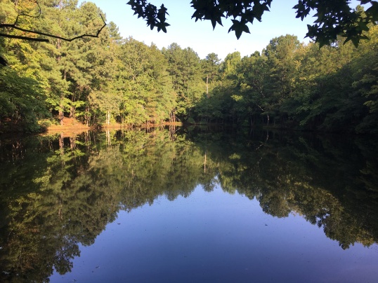
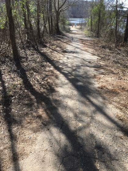
Most of the surrounding woodlands are part of the Army Corp of Engineers reserve, the Falls Lake State Recreation Area or various state-owned game lands. It’s a fine trail to hike. There’s plenty of wildlife and birds. Bald eagles commonly nest here (we have seen several) as well as red shouldered hawks, owls and ospreys (one pair nests just a mile from our house.)

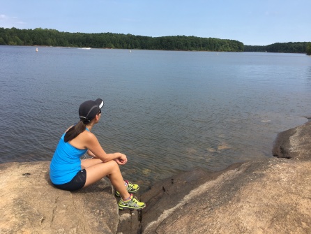
We like the views of Falls Lake and the peaceful surrounding woodlands. Thought are no real hills along the trail it’s not flat, either…the trail goes up and down quite a lot as it crisscrosses the oft steep banks of the lake. The trail is generally in good shape, though it gets washed out sometimes in high water. We also noted that as the years have passed it has become more eroded than before. It may be suffering from lack of maintenance or simple increased use. But we seldom see many people on the trail, far less than we do in crowded Umstead State Park.
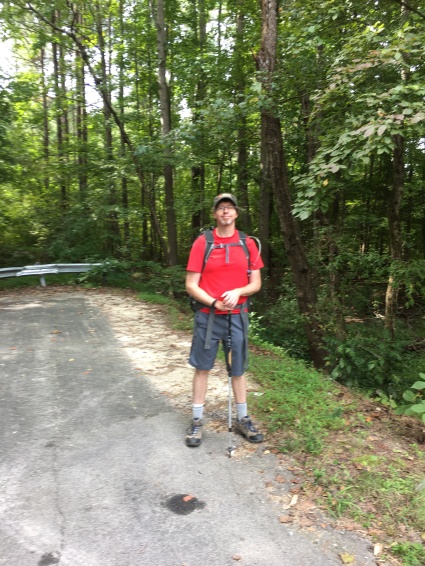
This is also a great place for trail running. I don’t do much of this anymore because of my ‘trick knee’ but we have done so in the past.
One thing we don’t like as much about the trail is that it is encroached upon in many places by development, much of it recent. The back yards of very large, fancy houses push right up to the edge of the trail. Often the noise of noisy dogs, radios, power tools and screaming children intrude. We hope that the state of North Carolina, the cities of Raleigh and Durham, and Wake County will do everything possible to keep this area wild for recreations of all types…hunters, anglers and boaters as well.
Some of the signs of people are quite old. Including the remains of old homesteads, wreck autos from bygone days, and even the ghosts of highways past…old roads whose rights of way now lie beneath the waters of the lake. The dry land approaches of these abandoned roads are strange and silent, being taken back into the forest almost with gentleness. A reminder that while humans can conquer nature, nature is patient and persistent, and often gets the last laugh.
We have yet to hike even half of this great trail. Because the trail cuts roads in many places it is entirely possible to section hike it, especially if you have two cars. We have done most of the sections in Wake County. We have yet to do those that extend into Durham County and the Eno River. (Note that despite what you might have heard of Durham, the areas of the trail within it are generally safe for hiking.)
The Trail, by the way, is part of the ubiquitous Mountains to Sea Trail, the trail that links NC’s dual treasures…its coast with its mountains. Yes, the same trail we hiked here. And here. Like all the MST it is blazed with a round white dot that is distinct from the AT’s trademark vertical rectangle.
This is a great place to hike any time of year except maybe summer, when it is hot, buggy and muddy from the thunderstorms of summer afternoons. Hike it from Fall to Spring.
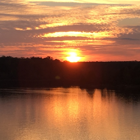
The sunset from the Falls Lake Dam is nice as well. There’s also good fishing here, so I hear.
But the path doesn’t end there…the MST extends south to the Johnston Country line, nearly 25 miles away, and even further…but that’s a post for later. That’s…the Neuse River Greenway.