Table Mountain, Hawksbill Mountain, the Chimneys
*One of our Top Ten Hikes in the Southern Appalachians!
- Pisgah NF, NC
- Type: Day Hike
- Distance: Less than 2 miles one way
- Elevation Gain: 600 feet (or less)
- Difficulty: Moderate to Strenuous
- Best Season: Spring or Fall
- BIT Rating: ****
Directions: All the hikes described above are off Forest Road 1264, aka the Table Rock Road, outside Marion, NC. This is still a relatively less visited place and we’d prefer it stayed that way. In the spirit of adventure, we’ll let you the adventurer puzzle out how to get here. (Hint…the directions are widely published on the internet.) Note that parts of this road are unpaved, but generally are passable to non 4WDvehicles.
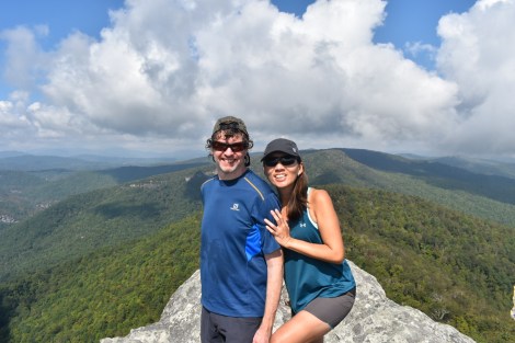
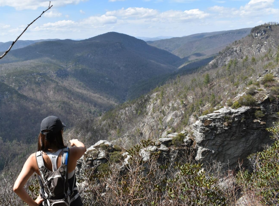
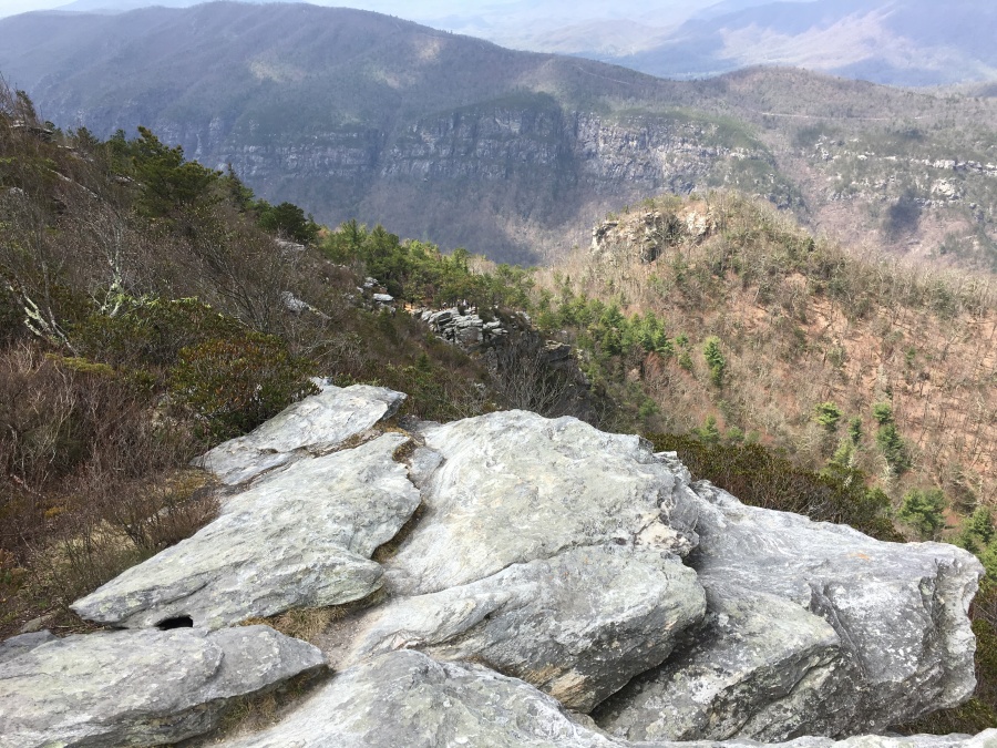
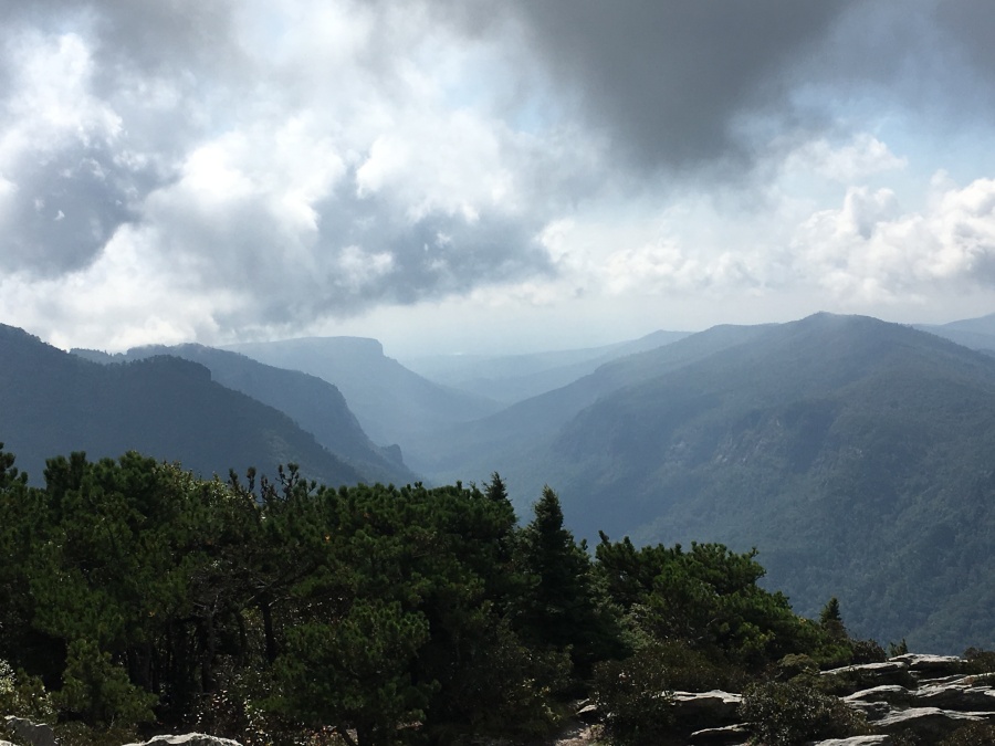
Description: In our opinion the Linville Gorge has the most spectacular views in the Carolinas, and the hikes on its rim are a great way to see this. All of the hikes listed here are relatively short; for a much longer and more challenging experience one can descend into the gorge, but be warned — this is a formidable challenge.
Why do this Hike?
- The best place to hike in North (or South) Carolina, in our opinion
- Nothing like the Linville Gorge anywhere else in the Southern Appalachians
- Rugged terrain more resembles something out west in the Rockies
- Isolated and generally less crowded than other nearby hikes
- The hikes here generally safe if you don’t do anything stupid
- You can do two or three of these in one day
- Walls of the Gorge nearly 1600 feet deep!
- Terrain was never logged, settled or developed due to its ruggedness
- Inner portions of the gorge completely uninhabited, no million-dollar cabins spoiling the view
- Many rocky and exposed peaks along the rim
- Views of the gorge are stunning…
- …as are the limitless ones out across the Piedmont
- Huge, gothic rock formations
- A rock climbers paradise
- In many places, views are almost unspoiled by any sign of development
- Wild Linville River has many fine waterfalls
- Viewpoints accessible by short, relatively modest trails
- Longer and more strenuous options down into the gorge
- Camping is permitted on the rim (check the regulations)
- Good chance of seeing wildlife
- The Mountains to Sea Trail!
But consider this before you hike…
- The Linville Gorge is a very rugged wilderness area
- Trails are steep and footing often bad
- Trails often un-blazed in the wilderness
- Many, many unmarked and confusing herd paths
- Real possibility of getting lost here, a good map is strongly recommended
- If you get turned off trail below the rim getting out will be problematic
- Hiking down into the Gorge recommended to experienced hikers only
- None of these hikes recommended in icy conditions
- All of the hikes here lead to very exposed places
- Rim is definitely not a place to be caught in a thunderstorm
- Major risk here is mechanical injuries due to falls
- Venturing off trail sharply increases the risk of accident
- Rock climbing should be attempted by experienced, well equipped climbers only
- The Linville Gorge is remote and isolated
- You will be miles from help
- Rescue from the Gorge will not be easy
- Don’t expect cell phones to work below the rim
- Crossing the river at the bottom is potentially dangerous
- Only one bridge across, which at last check was washed out
- Eastern side accessed by only one road, which is mostly unpaved
- Few trails on the western side, and they are steeper